


- December 12, 2004 (2.76 Mb)
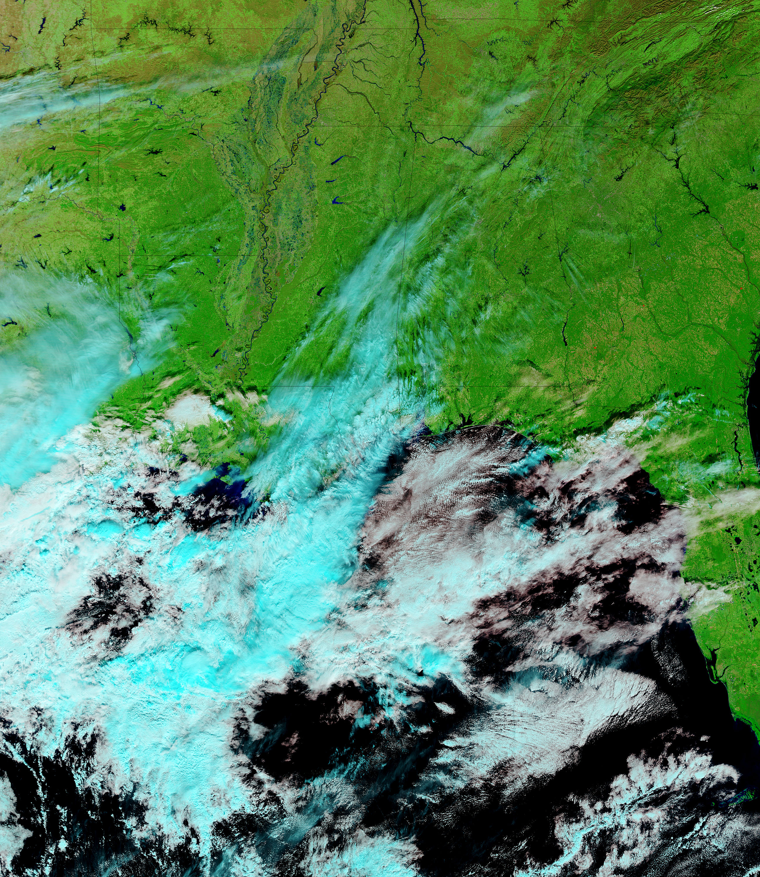
- December 3, 2004 (3.36 Mb)
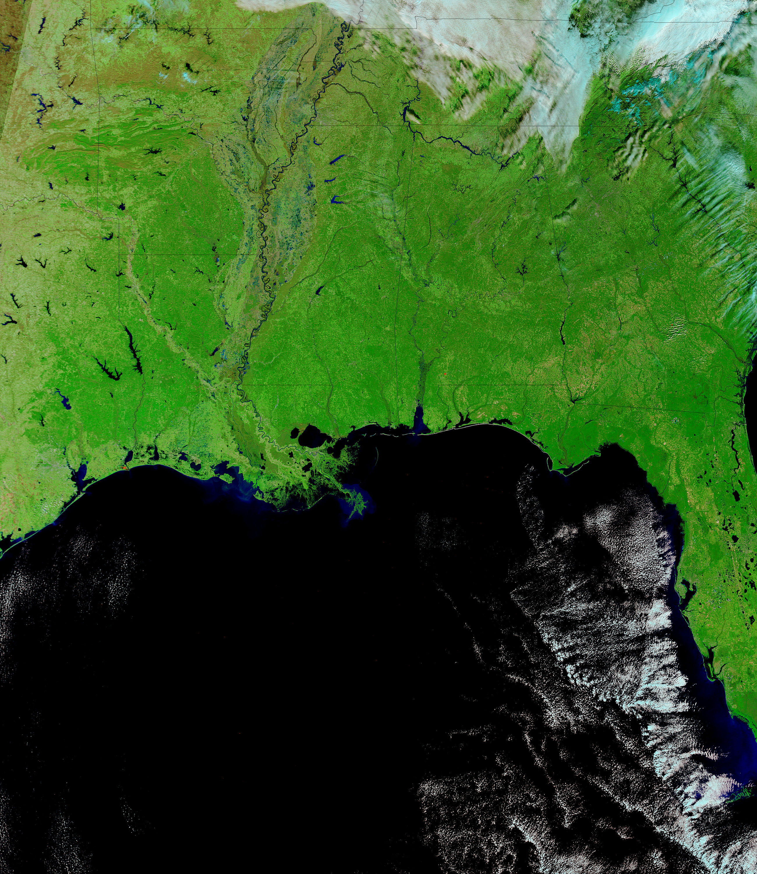
A bulge of water fills the Tennessee River at the point where the river turns north and enters Tennessee after flowing through Alabama. The river was swollen on December 12, 2004, after several days of heavy rain in the southeastern United States. The effects of the rain are visible in other rivers and lakes across the region. Mississippi’s Sardis and Enid Lakes and Yacona River were all much fuller than normal on December 12, when the Moderate Resolution Imaging Spectroradiometer (MODIS) on NASA’s Terra satellite acquired the top image. Smudges of blue along the White River in Arkansas also reveal flooding.
References & Resources
Images courtesy MODIS Rapid Response Team at NASA GSFC. Both the December 12 and December 3 images are available in multiple resolutions up to MODIS’ maximum resolution of 250 meters per pixel.


