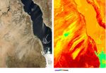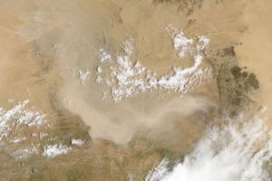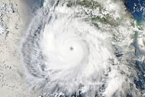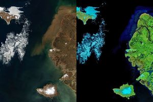

















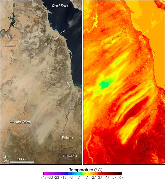
On December 27, 2004, a dust storm was blowing over the Nubian Desert in northeastern Sudan, reaching from the Red Sea (top right) to the Nile River (left). The pair of images above shows the event in natural-color, like a digital photograph, as well as a rainbow-colored image that shows temperatures. Both images are made from data collected by the Moderate Resolution Imaging Spectroradiometer (MODIS) on NASAâs Aqua satellite.
Although the tan-colored dustâconcentrated in the center of the imagesâcan be difficult to see against a similarly pale land surface in the natural-color scene at left, the temperature image reveals the location of the dust quite clearly. The airborne dust has a cooling effect on the observed temperatures. The thicker the dust, the cooler the temperatures. In the center of the images, a particularly thick area of dust is as much as 30 degrees Celsius cooler (blue-green area in temperature image) than the surrounding desert.
The high-resolution image provided above is 1 kilometer per pixel. The MODIS Rapid Response System provides the
and
images at additional spatial resolutions.
References & Resources
NASA image courtesy the MODIS Rapid Response Team, NASA-Goddard Space Flight Center