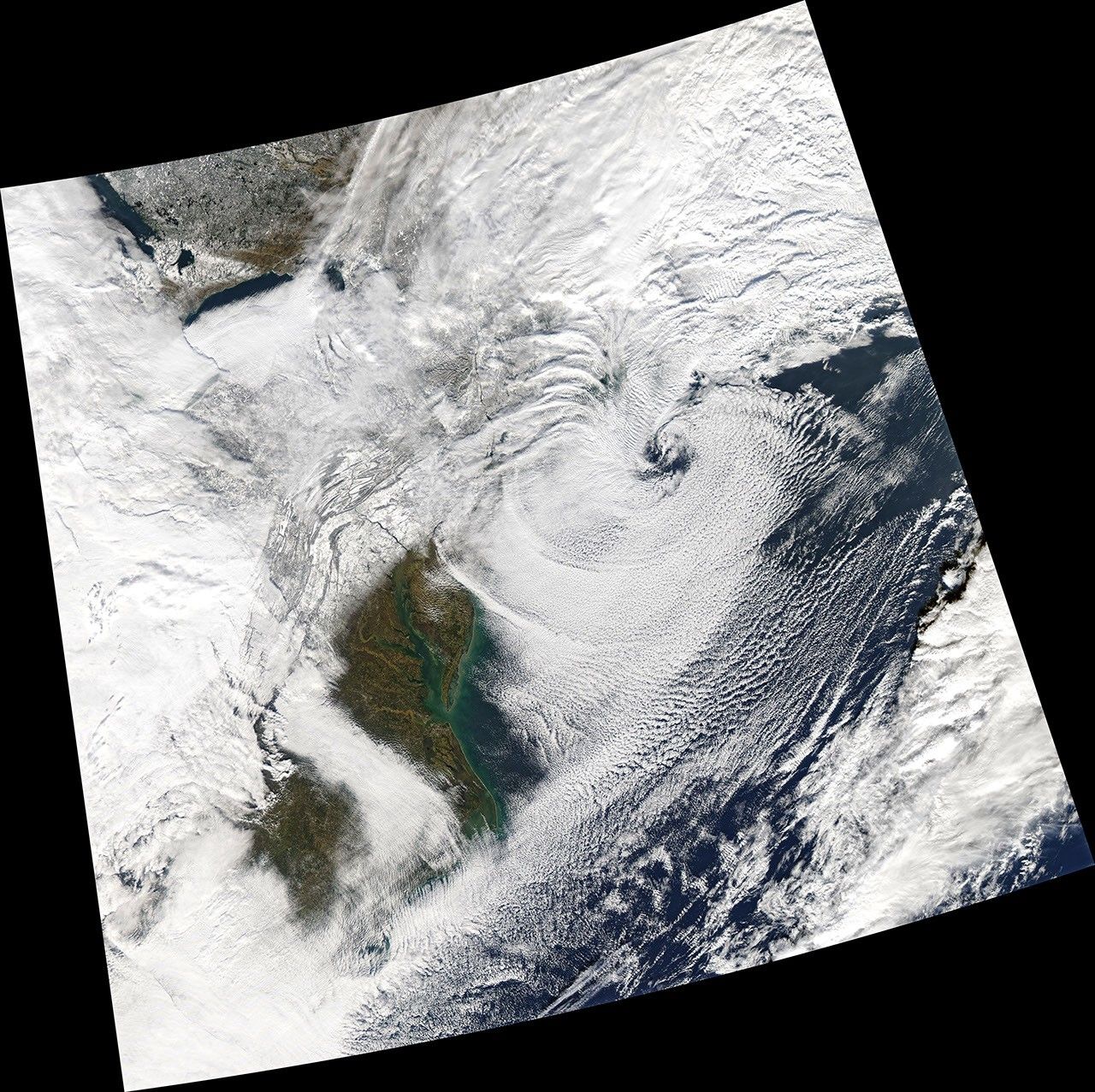


From December 16-17, snow piled up fast across the Northeastern United States during the first potent nor’easter of 2020.
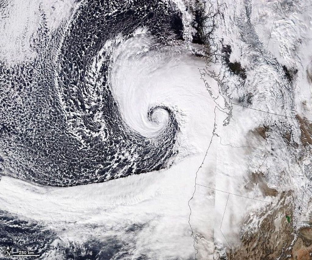
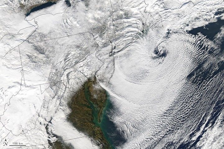
The Moderate Resolution Imaging Spectroradiometer (MODIS) on NASA’s Aqua satellite acquired this image in the afternoon on December 17, 2020, as the storm started moving out to sea. As the storm exited, areas of clear sky revealed a blanket of white across Mid-Atlantic states stretching from the Appalachian Mountains to the I-95 corridor.
At the time, storm clouds still obscured some of the hardest-hit areas. Early reports indicate that a band of heavy snowfall delivered more than 40 inches (1 meter) to inland parts of Pennsylvania, New York, Vermont, and New Hampshire. Areas within Pennsylvania and Vermont likely set state records for 24-hour accumulation totals.
References & Resources
- NBC News (2020, December 18) Northeast just got hit by a historic snowstorm. Could a white Christmas be next? Accessed December 18, 2020.
- Reuters (2020, December 17) Record-breaking storm unleashes travel havoc on U.S. Northeast. Accessed December 18, 2020.
- Twitter (2020, December 18) NWS Weather Prediction Center. Accessed December 18, 2020.
NASA Earth Observatory image by Joshua Stevens , using MODIS data from NASA EOSDIS/LANCE and GIBS/Worldview . Caption by Kathryn Hansen .