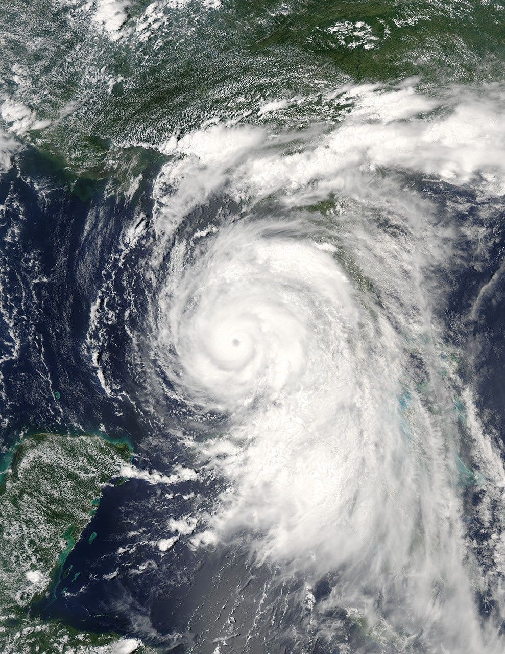
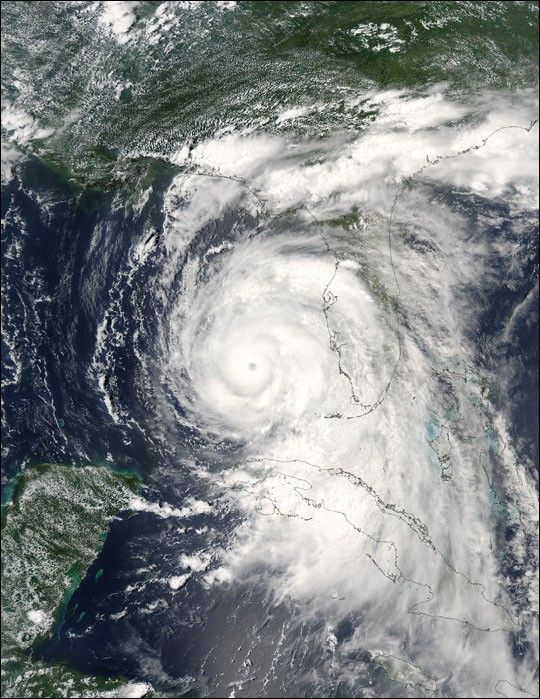
More than a million people are evacuating the coastal areas of Florida and Alabama as Hurricane Dennis steadily approaches. The first hurricane of the 2005 Atlantic hurricane season, Dennis has already been a deadly storm. It crossed over Cuba on July 8 and 9, leaving at least 10 dead, and caused additional deaths in Haiti. After re-emerging over open water, Dennis re-strengthened into a dangerous Category 3 hurricane with winds approaching 115 miles per hour when this image was taken at 2:45 p.m. EDT on July 9, 2005.
The Moderate Resolution Imaging Spectroradiometer on NASA’s Aqua satellite captured this image of the storm sliding up Florida’s west coast. The National Hurricane Center warns that Dennis continues to strengthen and may become a powerful Category 4 hurricane before making landfall over the northern Gulf Coast on July 10.
For additional information and warnings about this storm, please visit the National Hurricane Center. This image is available in additional resolutions from the MODIS Rapid Response Team.
References & Resources
NASA image courtesy Jacques Descloitres, MODIS Rapid Response Team, NASA GSFC