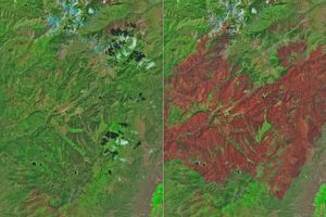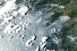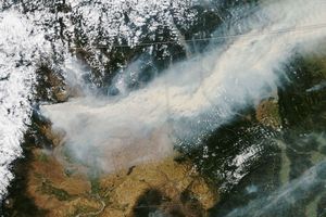



























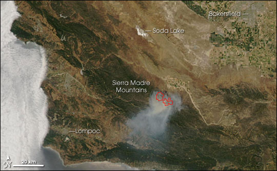
A large wildfire was burning in brush and grass along the eastern foothills of the Sierra Madre Mountains of California on June 20, 2006. The Moderate Resolution Imaging Spectroradiometer (MODIS) on NASA’s Aqua satellite captured this image that afternoon. The locations where MODIS detected active fire are outlined in red. According to the National Interagency Fire Center report on June 21, the Perkins Fire was 10,000 acres and was threatening oil fields, natural gas lines, wildlife habitat, and commercial resources. The blaze was about 20 percent contained, but it was spreading rapidly.
The large image has a spatial resolution (level of detail) of 250 meters per pixel and shows a wider area. The MODIS Rapid Response System provides this image at additional resolutions.
References & Resources
NASA image courtesy the MODIS Rapid Response Team, Goddard Space Flight Center