












Suggested Searches

1 min read

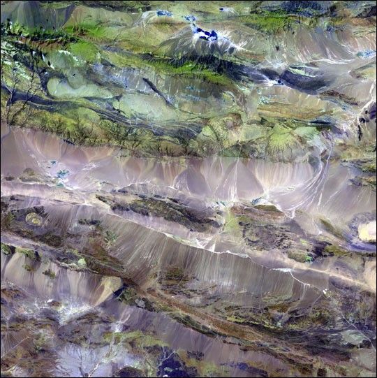
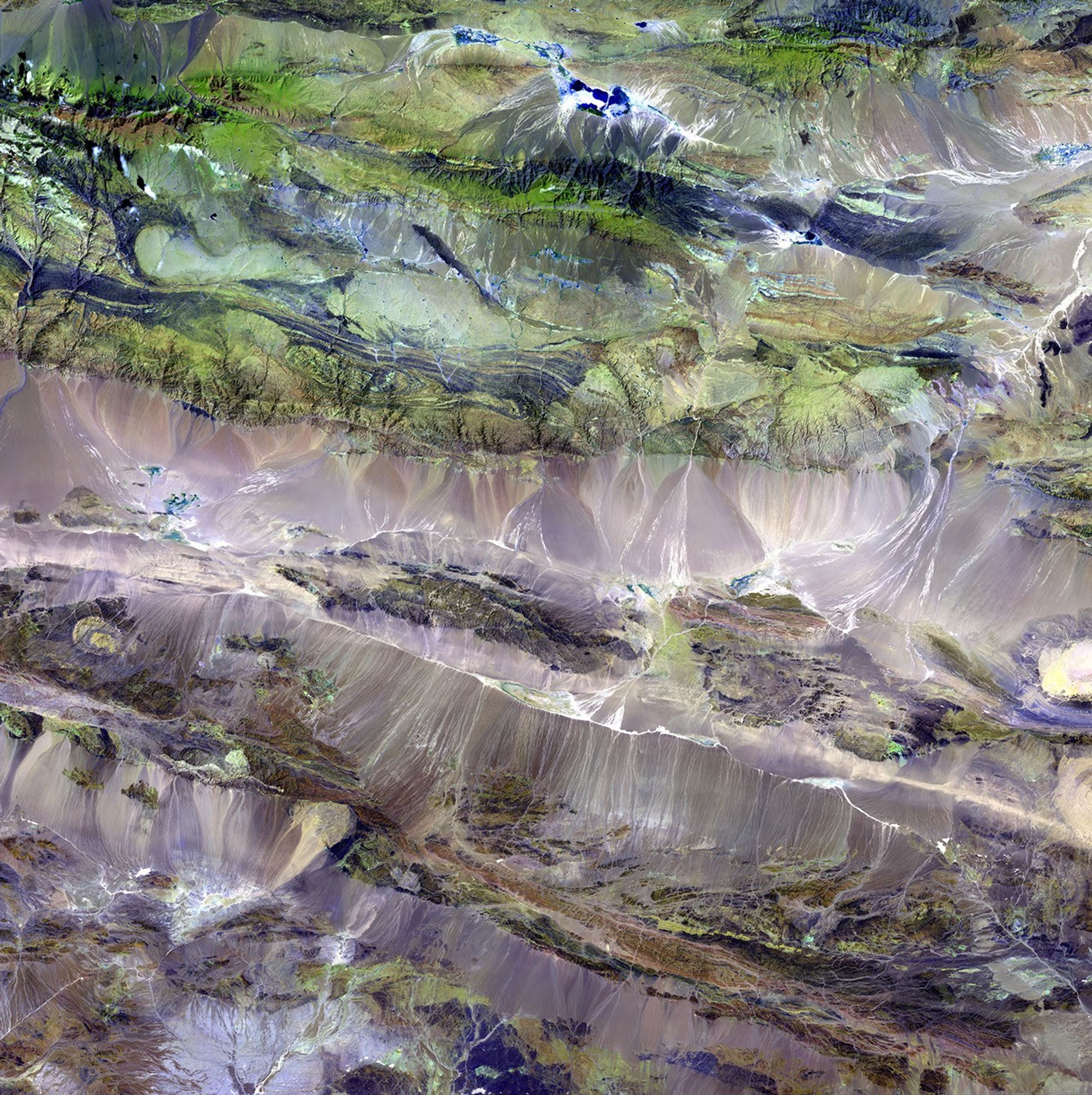
Edrengiyn Nuruu, Mongolia


The Edrengiyn Nuruu forms a transition zone between the Mongolian steppes to the north and thearid deserts of northern China to the south.

This image was acquired byLandsat 7's Enhanced Thematic Mapper plus(ETM+) sensor on August 13, 1999. This is a false-color composite image made using shortwaveinfrared, infrared, and green wavelengths.

References & Resources

Image provided by the USGS EROS Data Center Satellite Systems Branch. This image is part of the ongoing Landsat Earth as Art series.
You may also be interested in:

Stay up-to-date with the latest content from NASA as we explore the universe and discover more about our home planet.

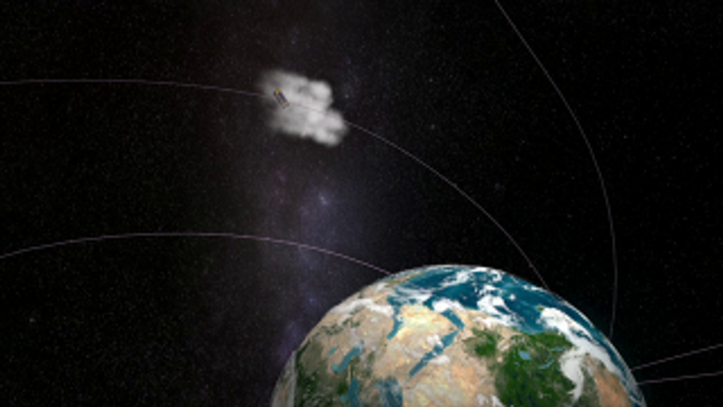
A Full Moon Checkup
3 min read

Once a month during the full Moon, Landsat 9 turns from Earth to image the lunar surface, helping keep the…

Article
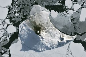
A Bright Spot at Mount Michael
3 min read

With austral winter nearing its end, clouds cleared for a satellite view of volcanic activity in the remote South Atlantic.

Article
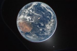
A Moonlit Earth as Seen From Artemis II
4 min read

An astronaut’s photo, taken en route to the Moon, reveals our planet and its place in space in a novel…

Article