


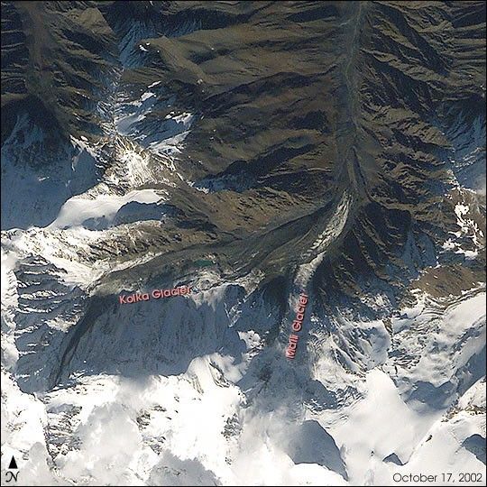
Hurricane Kenna, the sixteenth tropical disturbance of the 2002 easternPacific hurricane season, explosively intensified from a tropical stormto a Category 5 hurricane in less than 48 hours. On October 25, 2002, Kennamade landfall on the western Mexican coast as a Category 4 storm. Kenna was born in the warm tropical waters of the easternPacific south of Mexico on October 22 to become the strongest storm tothreaten the Americas in 2002.
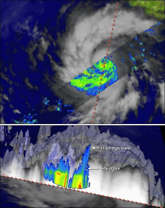
This Tropical Rainfall Measurement Mission (TRMM) overpass from theafternoon of October 23 shows the rain structure inside the rainbandsand inner core of Kenna. Red and yellow colors indicate the mostintense rains. TRMM shows that the rainfall pattern is highlyasymmetric, with most of the rain falling west of the storm center.TRMM also reveals that the tight, compact eye is well formed and isflanked by towering thunderstorm clouds. These towers, which are 16-17km tall, contain the heaviest rains and act to energize the core of thestorm, sustaining winds of nearly 140 mph.
Images of Kenna and other 2002 hurricane season storms can be foundby visiting the official TRMM website at http://trmm.gsfc.nasa.gov/.
References & Resources
Image courtesy Hal Pierce, NASA GSFC Mesoscale Atmospheric Processes Branch (Code 912). For more information and other examples of TRMM data, visit the TRMM Web site.


