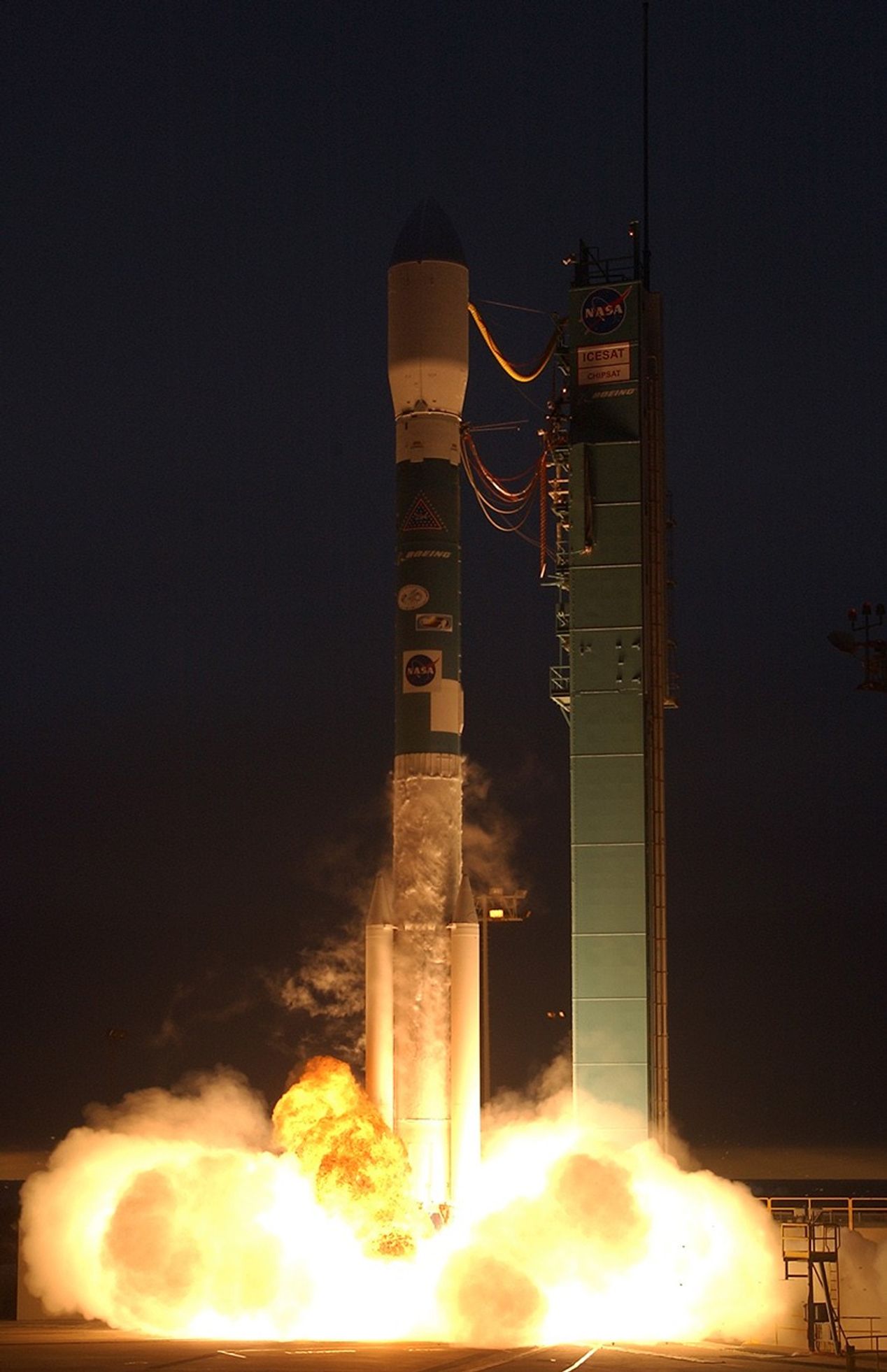
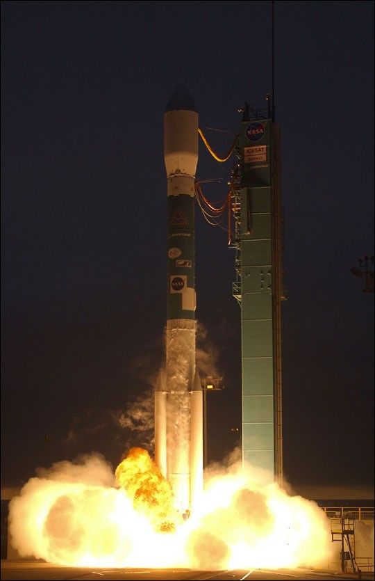
NASA’s Ice, Cloud and Land Elevation satellite (ICESat)lifted off from VandenbergAir Force Base, Calif., at 4:45 p.m. PST aboard Boeing’s Delta IIrocket. Separation of the ICESat spacecraft occurred 64 minutes afterlaunch at 5:49 p.m. PST. Initial contact with ICESat was made 75 minutesafter launch at 6 p.m. PST as the spacecraft passed over the SvalbardGround Station in Norway.
“The Delta vehicle gave us a great ride! The ICESat spacecraft was rightwhere we expected and is performing great. The whole team is thrilled tobe having such a wonderful start to our mission” said Jim Watzin, theICESat Project Manager at NASA’s Goddard Space Flight Center inGreenbelt, Md.
Over the next few days the ICESat spacecraft will gradually be despunand placed into a safe stable attitude. Within two weeks the onboardpropulsion system will gradually tune the orbit. Once in its finalorbital position, ICESat will be approximately 373 miles (600kilometers) above the Earth.
ICESat is the latest in a series of Earth Observing System spacecraft,following the Terra satellite launched in December 1999, and the Aquasatellite launched earlier in May of this year. The primary role ofICESat is to quantify ice sheet growth or retreat and to thereby answerquestions concerning many related aspects of the Earth’s climate system,including global climate change and changes in sea level.
for more information, visit:
ICESat
the ICESat Fact Sheet
NASA Successfully Launches the ICESat/CHIPS Satellites
References & Resources
Photograph Courtesy NASA/Bill Ingalls