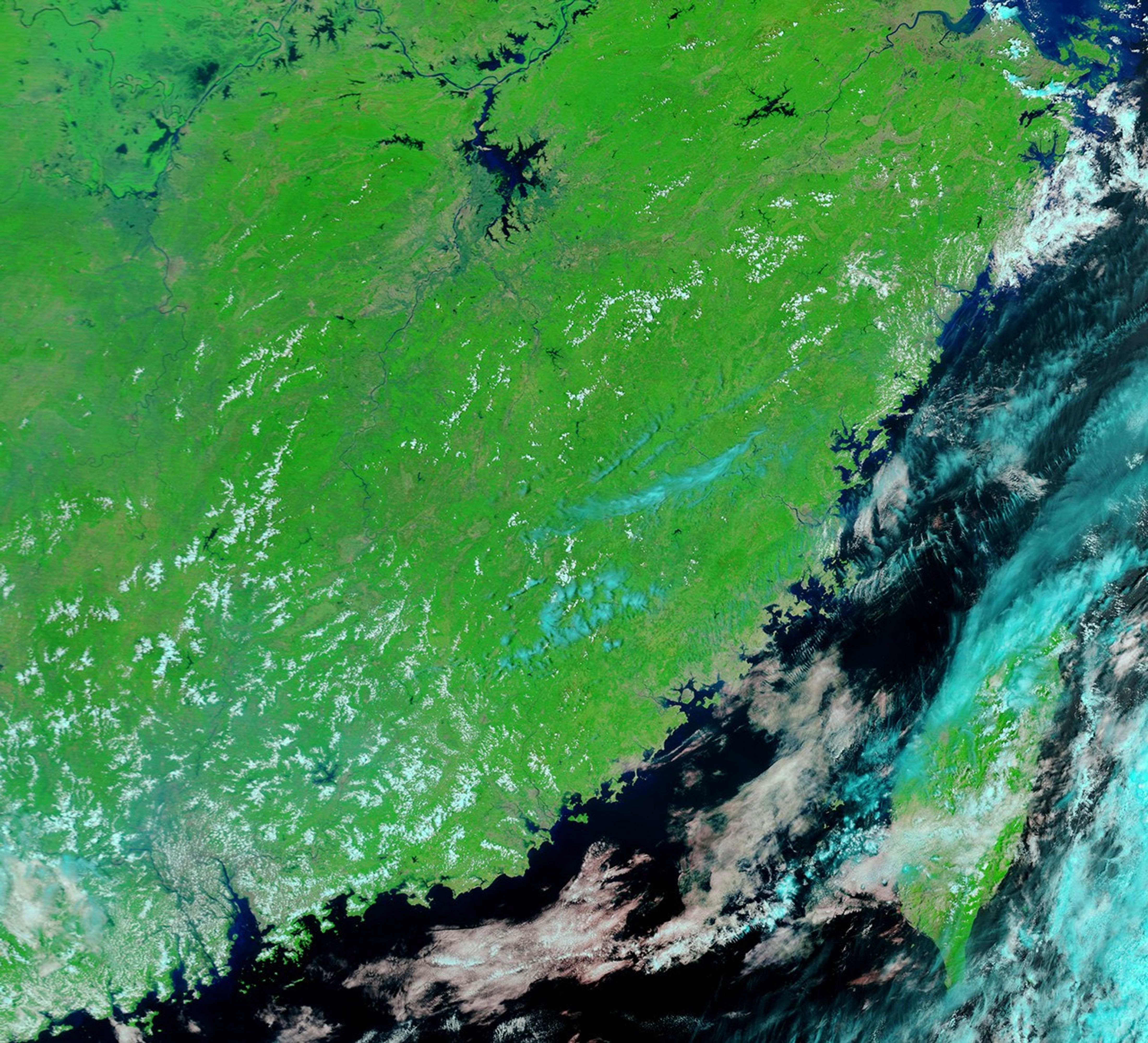


Nearly a month of heavy rain flooded provinces throughout southern China, causing landslides, bursting dikes, forcing the evacuation of some 685,000 residents, and causing more than 100 deaths, according to news reports. Fujian Province, a coastal area along the Taiwan Strait, was one of the hardest-hit areas.
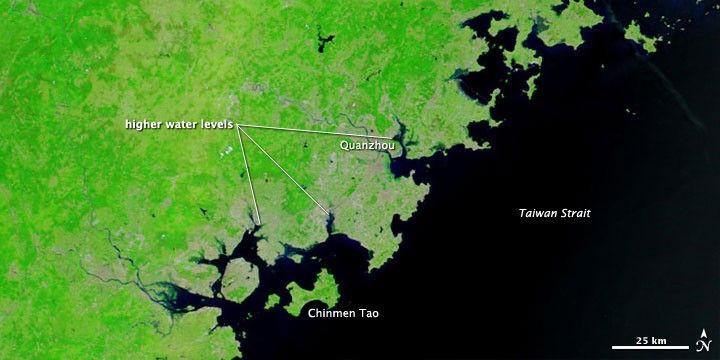
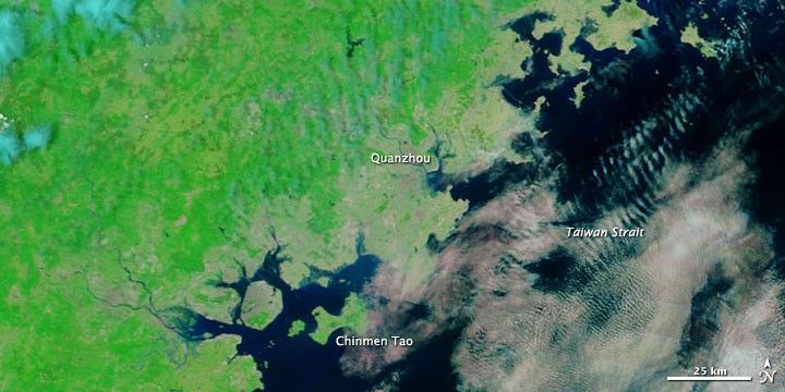
The Moderate Resolution Imaging Spectroradiometer (MODIS) on NASA’s Terra satellite captured these images of part of Fujian Province on May 25, 2010 (top), and May 2, 2010 (bottom). The images use a combination of infrared and visible light to increase the contrast between water and land. Water and water-saturated areas vary in color from navy to electric blue. Vegetation is green. Clouds are turquoise. Urbanized areas appear pinkish-tan.
At multiple points along the coast, water levels are higher in late May than in early May, especially in the vicinity of Quanzhou.
References & Resources
- Associated Press. (2010, May 25). Floods kill 115 in southern China. Accessed May 27, 2010.
- China.org.cn. (2010, May 24). Warning of floods in Pearl River Delta region. Accessed May 27, 2010.
NASA image courtesy MODIS Rapid Response Team at NASA GSFC. Caption by Michon Scott.