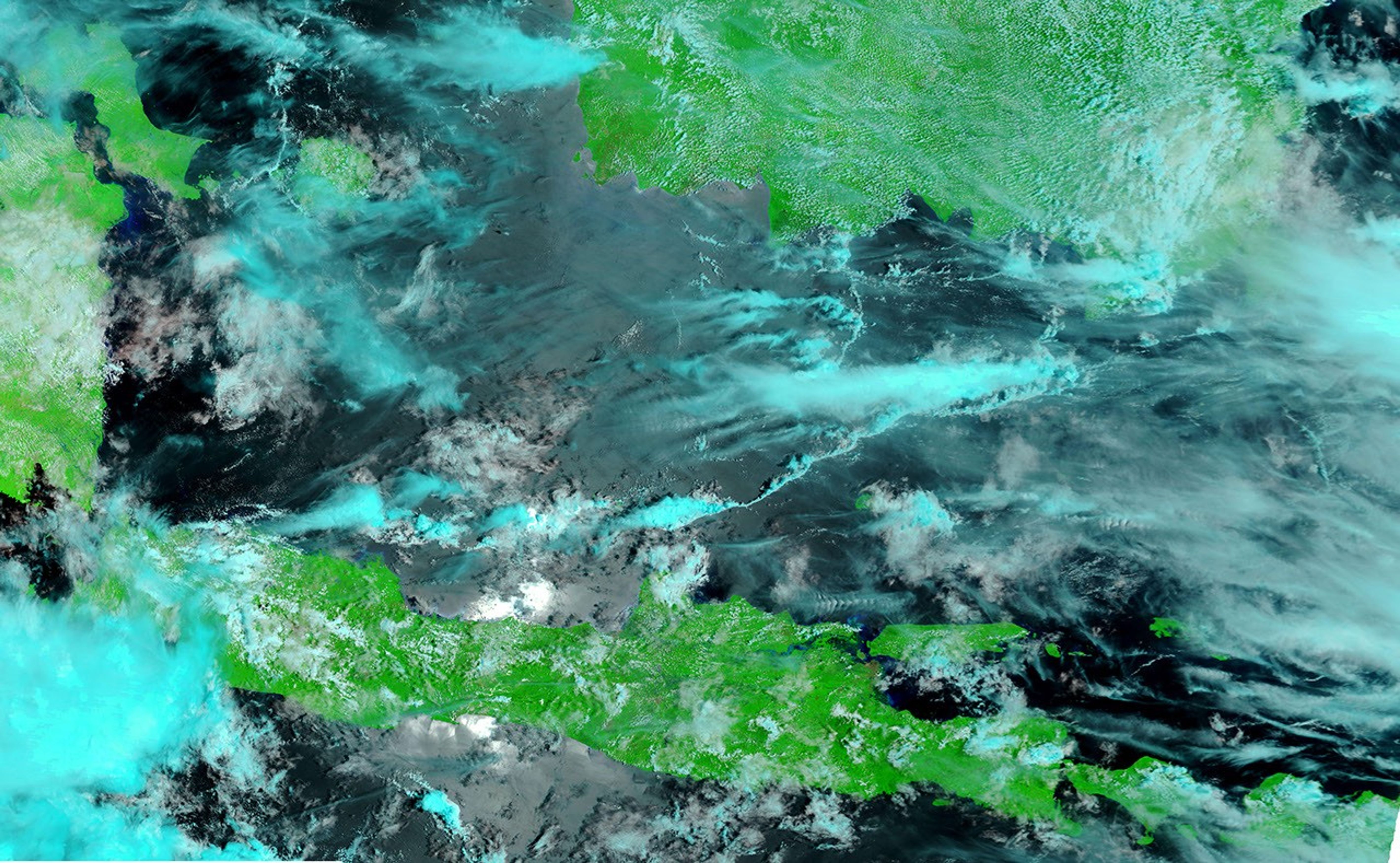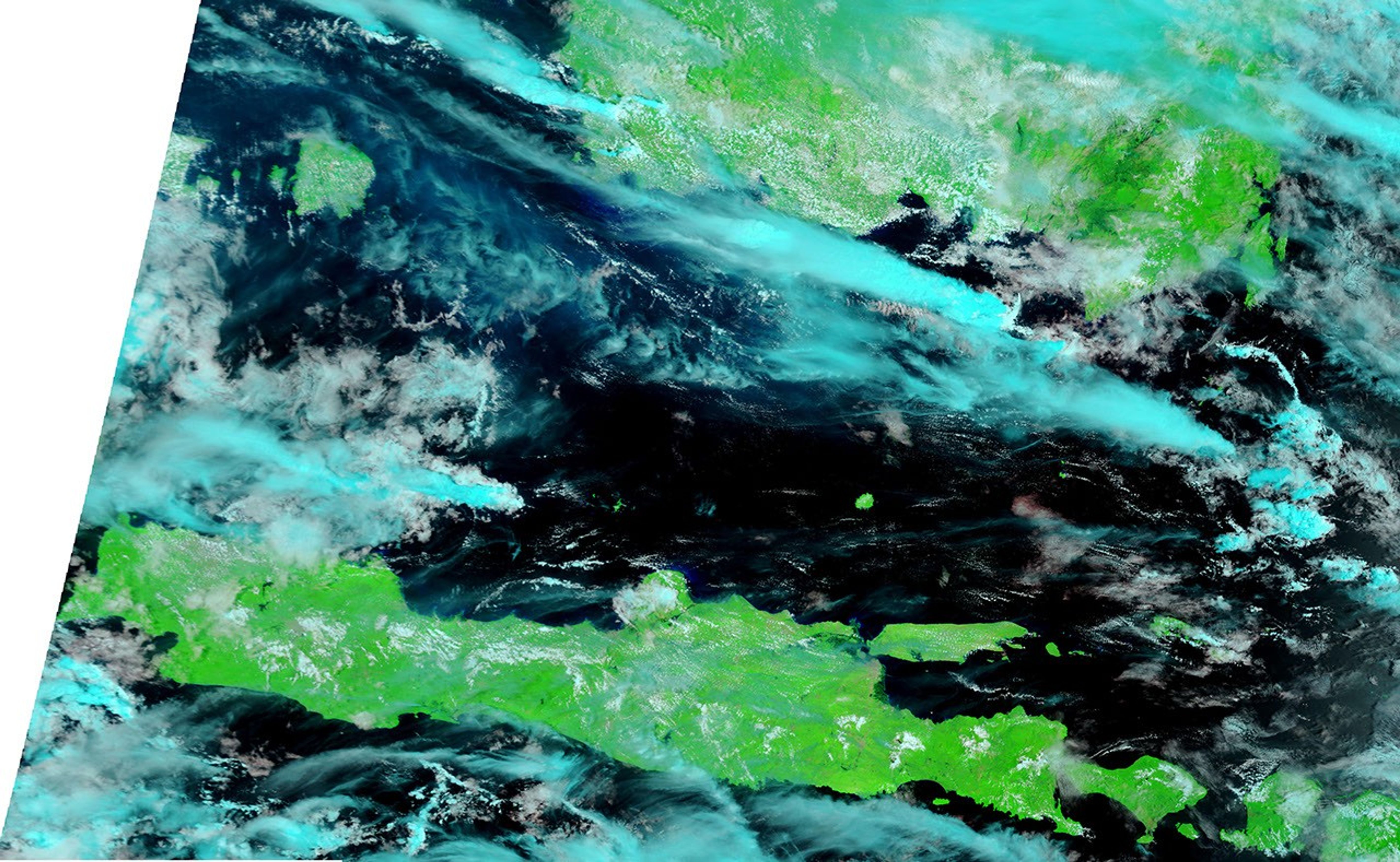
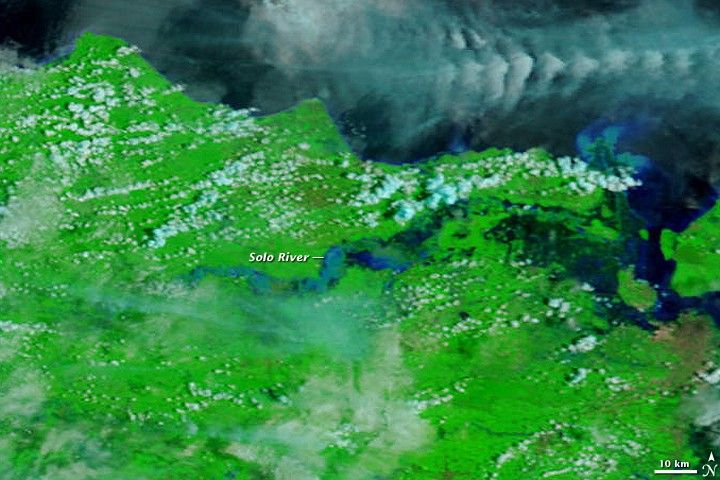
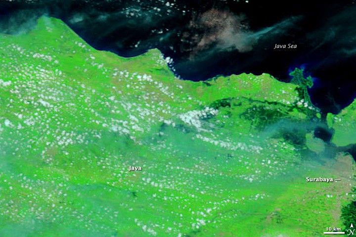
Heavy rains sent East Java’s Solo River over its banks beginning on February 23, 2009. By March 2, the swollen river had submerged more than five thousand homes, forcing thousands of evacuations, said Indonesia’s National Disaster Management Agency. The Moderate Resolution Imaging Spectroradiometer (MODIS) on NASA’s Terra satellite glimpsed the flooded river through broken clouds on February 27, top. The lower image was taken ten days earlier, on February 17, illustrating how quickly the river rose.
Both images are false color, made with a combination of the wavelengths of light that humans see and infrared light. This combination increases the contrast between water and land. Water is black, but sediment lightens the water to tones of blue. The Solo River is significantly wider in the February 27 image. It is also muddier, its waters going from black to pale blue. The surrounding plant-covered land is bright green, while clouds are turquoise and white. Southeast of the mouth of the Solo River, the city of Surabaya sprawls across the island, tan in contrast to the bright green land around it.
References & Resources
- Dartmouth Flood Observatory. (2009, March 3). Tabular information and inundation maps, 2007-present. Accessed March 4, 2009.
NASA images courtesy the MODIS Rapid Response Team at NASA GSFC. Caption by Holli Riebeek.