


July 14, 2013
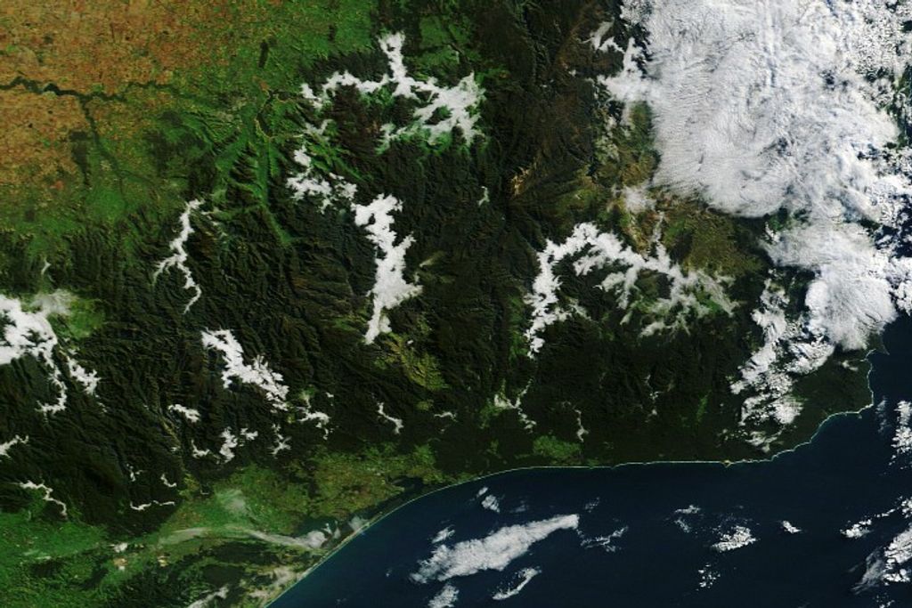
On July 14, 2013, the Moderate Resolution Imaging Spectroradiometer (MODIS) on NASA’s Aqua satellite captured this image of three large wildfires burning in the Yukon territory of western Canada. Red outlines indicate hot spots where MODIS detected unusually warm surface temperatures associated with fire. The image is centered at 136° West longitude and 62.5° North latitude.
Further Reading
- Canadian Wildland Fire Information System (2013, July 4) Maps and Reports. Accessed July 17, 2013.
- Twitter (2013, July 17) Yukon Wildland Fire (@YukonWildFire). Accessed July 17, 2013.
- Vancouver Sun (2013, July 14) B.C. firefighter crews dispatched to fight dangerous Yukon wildfires. Accessed July 17, 2013.
References & Resources
NASA image courtesy Jeff Schmaltz, LANCE/EOSDIS MODIS Rapid Response Team at NASA GSFC. Caption by Adam Voiland.


