










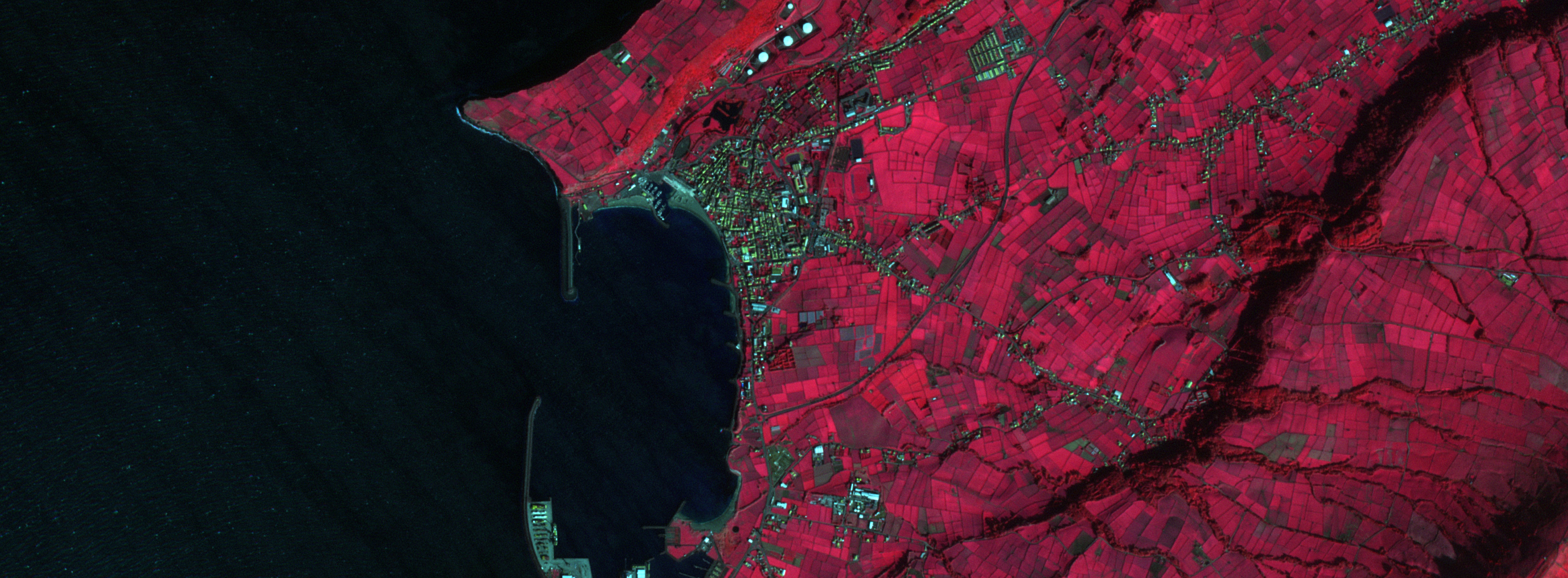





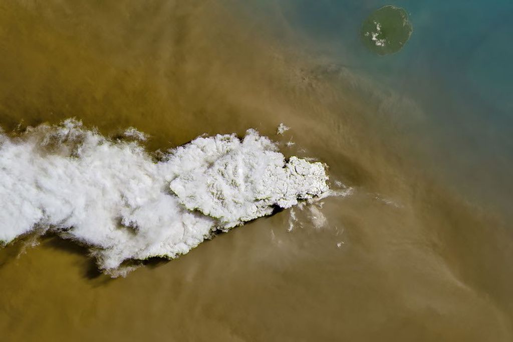










The June 27th lava flow—named for the day it began erupting from a vent on Kilauea’s Pu‘u ‘O’o crater—continues to move northeast through forests in Hawaii near the town of Pãhoa. The Operational Land Imager (OLI) on Landsat 8 satellite captured these images of the flow on September 24, 2014. In the natural color image (top), lava flows appear gray. Vegetation is dark green.
The lower image shows the lava flows in false-color (combining shortwave infrared, near infrared, and green light). The hot surface of the flows radiate shortwave infrared light, which appears red. Light green indicates vegetation. Rocky lava flows—up to 50 years old, too young for significant regrowth of vegetation—are black. The flow was within 3.3 kilometers (2.1 miles) of Pãhoa when Landsat 8 acquired the images.
References & Resources
- NASA Earth Observatory Volcanic Activity at Kilauea. Accessed October 1, 2014.
- Smithsonian Institution Global Volcanism Program) Kilauea. Accessed October 1, 2014.
- U.S. Geological Survey Hawaiian Volcano Observatory (2014, October 1) Recent Kilauea Status Reports, Updates, and Information Releases. Accessed October 1, 2014.
- U.S. Geological Survey Hawaiian Volcano Observatory (2014, October 1) Maps. Accessed October 1, 2014.
- U.S. Geological Survey Hawaiian Volcano Observatory (2014, October 1) Photos and Videos. Accessed October 1, 2014.
NASA Earth Observatory image by Jesse Allen, using Landsat data from the U.S. Geological Survey. Caption by Adam Voiland.