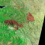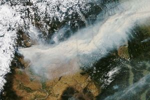













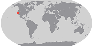

In early July 2015, fire crews worked to extinguish the remaining hotspots from the Lake fire that burned in California’s San Bernardino National Forest.
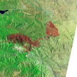
The Advanced Land Imager (ALI) on the Earth Observing-1 (EO-1) satellite captured this false-color image of the area on July 3, 2015. In this view, burned areas reflect shortwave infrared light and appear dark red. The burned area spanned 127 square kilometers (49 square miles).
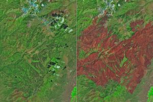
Areas of hot active fires glow bright orange-red, as seen in this earlier view of the fire on June 20. But little heat remained on July 3, at which time InciWeb reported that the fire was about 80 percent contained. By July 7, the fire was 98 percent contained.
References & Resources
- Inciweb (2015, July 3) Lake Fire, July 3 update. Accessed July 7, 2015.
- NASA Earth Observatory (2015) Lake Fire, California.
NASA Earth Observatory image by Jesse Allen, using EO-1 ALI data provided courtesy of the NASA EO-1 team. Caption by