![Request for Information – Potential [Placeholder for Prize]](https://assets.science.nasa.gov/dynamicimage/assets/science/psd/solar/2023/09/s/solarsystem_0.jpg?w=1024)


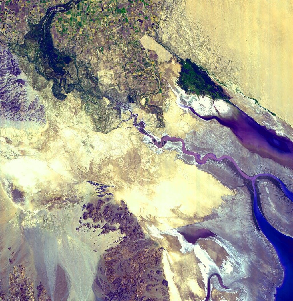
Not more than 80 years ago the mighty Colorado River flowed unhinderedfrom northern Colorado through Utah, the Grand Canyon, Arizona, andMexico before pouring out into the Gulf of California. But as one cansee in this image of the Colorado River Delta taken on September 8,2000, by the Spaceborne Thermal Emission and Reflection Radiometer(ASTER), flying aboard the Terra spacecraft, irrigation and urban sprawlnow prevent the river from reaching its final destination.
The Colorado River can be seen in dark blue at the topmost central partof this image. The river comes to an end just south of the multicoloredpatchwork of farmlands in the northwestern corner of the image and thenfans out at the base of the Sierra de Juarez Mountains. A hundred yearsago the river would have cut through this entire picture and plowedstraight through to the Gulf of California, the mouth of which can beseen in solid blue at the lower righthand corner of the image. Nearlyall the water that flows into the Colorado River is now siphoned off foruse in crop irrigation and for residential use. In fact, roughly only 10percent of all the water that flows into the Colorado makes it intoMexico and most of that is used by the Mexican people for farming.
The bluish purple river that appears to be flowing from the Gulf ofCalifornia to the north is actually an inlet that formed in the bed ofthe Colorado River after it receded. The island at the entrance to theGulf of California is the Isle Montague. The gray areas surrounding thisinlet and the gulf itself are mud flats created by sediments oncecarried by the river. The Hoover Dam built in 1935 and the Glen Canyondam built in 1956 now trap most of the river's sediments long beforethey find their way to the gulf.
As to the other features on the image, the flat yellow expanse to theeast of the farms is the Gran Desirto. Between the farmland and thedesert one can see a dark blue pool covered with patches of green.Known as Sienega de Santa Clara, this salt-water marsh formed by returnirrigation is home to a huge population of birds, including theendangered Yuma Clapper Rail and the Southwestern Willow Flycatcher. Thewhite patches to the southeast of this swampy area are salt packs thatseparate the marsh from the near lifeless salt lake extending east.
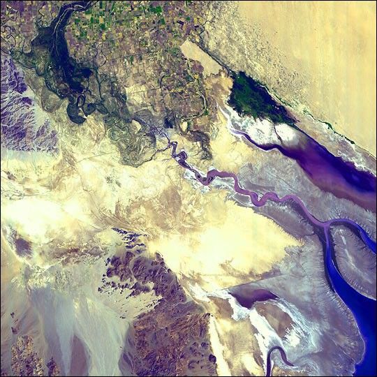
For more information about the Colorado River Delta, see the image from March 27, 2001
References & Resources
Image courtesy NASA/GSFC/MITI/ERSDAC/JAROS, and U.S./Japan ASTER Science Team