April 30, 2004
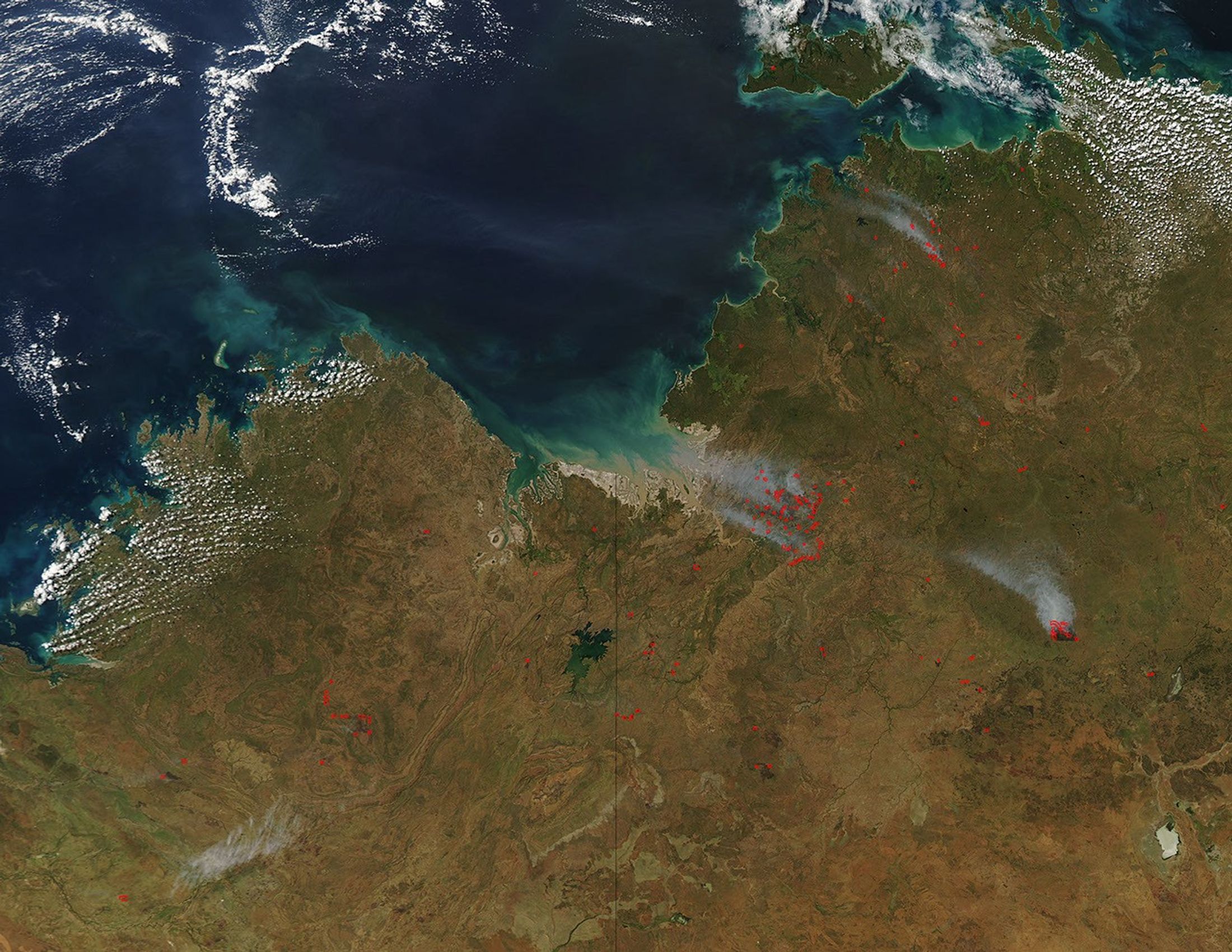
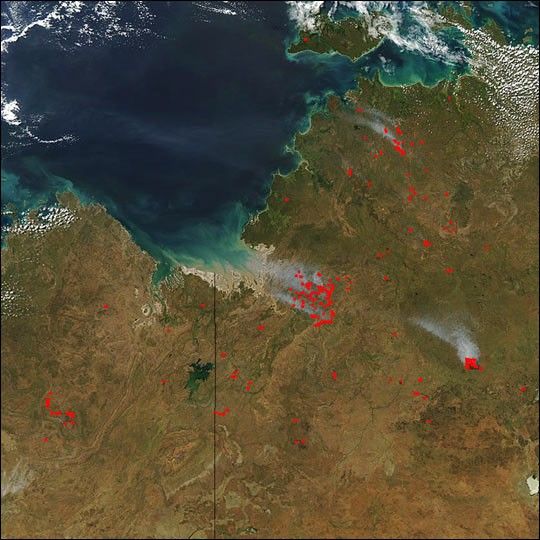
In Northern Territory (right) and Western Australia (left), numerous fires (red dots) were detected by the Moderate Resolution Imaging Spectroradiometer (MODIS) on the Aqua satellite on April 30, 2004. An especially dense cluster of fires is visible near where Timber Creek flows into Joseph Bonaparte Gulf, just right of image center. To the southeast of those fires is a large, smoky blaze. The burn scar (dark brown) left by that blaze has a straight, horizontal southern perimeter, which suggests it is a pasture or other land management fire.
The high-resolution image provided above is 500 meters per pixel. The MODIS Rapid Response System provides this image at
References & Resources
Image courtesy Jeff Schmaltz, MODIS Rapid Response Team, NASA-GSFC