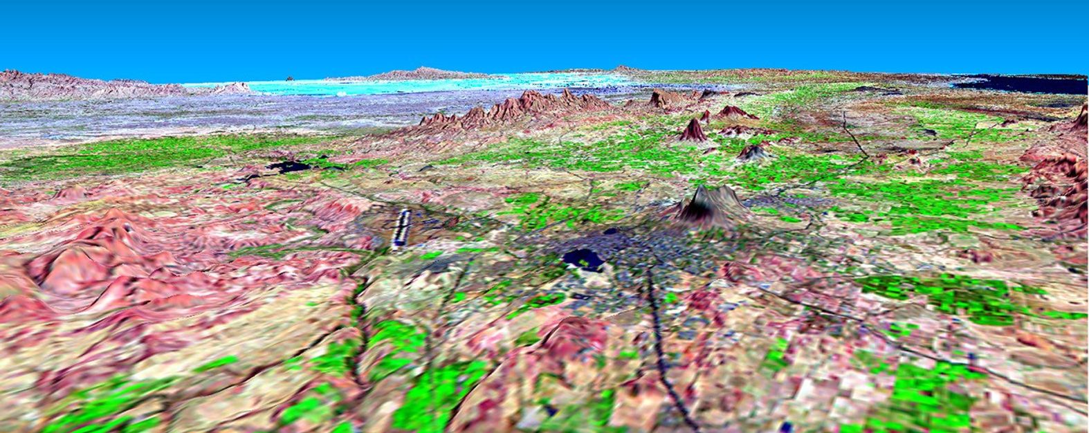
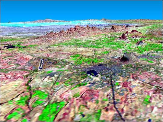
This perspective view shows the city of Bhuj, India, in the foreground(gray area). Bhuj and many other nearby towns and cities were almostcompletely destroyed by the shaking of an earthquake in western India onJanuary 26, 2001. This magnitude 7.6 earthquake was the deadliest in thehistory of India with some 20,000 fatalities and over a million homesdamaged or destroyed. The epicenter of the earthquake was in the area inthe background of this view.
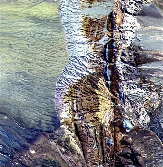
Bhuj was the historical capital of the Kachchh region, and the Bhujairport is the prominent dark line with light borders to the left of thecenter of the image. Highways and rivers appear as dark lines.Vegetation appears bright green in this false-color Landsatimage. The Gulf of Kachchh (or Kutch) is the dark blue area in the upper rightcorner of the image. The hills reach up to 500 meters (1,500 feet)elevation. The light blue area in the background center of the image islow-lying salt flats called the Rann of Kachchh.
This three-dimensional perspective view was generated using topographicdata from the Shuttle Radar Topography Mission (SRTM). This image wasgenerated using topographic data from SRTM and an enhanced false-colorLandsat 7 satellite image Colors are from Landsat bands 5, 4, and 2 asred, green and blue, respectively. Topographic expression is exaggerated5X.
Landsat has been providing visible and infrared views of the Earth since1972. SRTM elevation data matches the 30-meter resolution of mostLandsat images and will substantially help in analyses of the large andgrowing Landsat image archive.
Elevation data used in this image was acquired by the Shuttle RadarTopography Mission (SRTM) aboard the Space Shuttle Endeavour, launchedon February 11, 2000. SRTM used the same radar instrument that comprisedthe Spaceborne Imaging Radar-C/X-Band Synthetic Aperture Radar(SIR-C/X-SAR) that flew twice on the Space Shuttle Endeavour in 1994.SRTM was designed to collect three-dimensional measurements of theEarth's surface. To collect the 3-D data, engineers added a60-meter-long (200-foot) mast, installed additional C-band and X-bandantennas, and improved tracking and navigation devices. The mission is acooperative project between the National Aeronautics and SpaceAdministration (NASA), the National Imagery and Mapping Agency (NIMA) ofthe U.S. Department of Defense (DoD), and the German and Italian spaceagencies.
Size: scale varies in this perspective image
Location: 23.4 deg. North lat., 69.7 deg. East lon.
Orientation: looking northeast
Image Data: Landsat Bands 5, 4, 3 as red, green, blue respectively
Original Data Resolution: SRTM 30 meters (99 feet)
Date Acquired: four days in February, 2000 (SRTM), February 9, 2001 (Landsat)
References & Resources
Image courtesy NASA/JPL/NIMA