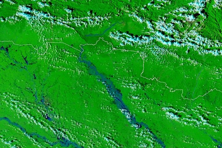
A web of dark blue and black flood water covers the region surrounding the Bangladeshi capital, Dhaka, in this image, acquired by the Moderate Resolution Imaging Spectroradiometer (MODIS) on NASA’s Terra satellite on August 3, 2004. The Ganges River runs into the image from the upper left corner, and the Meghna River flows down from the upper right corner. The flood waters are slowing draining away, though the capital city remains partially submerged. New reports say that the floods have claimed 740 lives in Bangladesh, and the number is expected to rise as water-borne disease spreads. The floods were triggered by heavy monsoon rains in June and July.
The above image is in false color to highlight the flood waters. Vegetation is bright green, water is dark blue and black, and clouds are light blue. The high-resolution image is at MODIS’ maximum resolution of 250 meters per pixel, though the image is available in additional resolutions.
References & Resources
NASA image courtesy the MODIS Rapid Response Team at GSFC