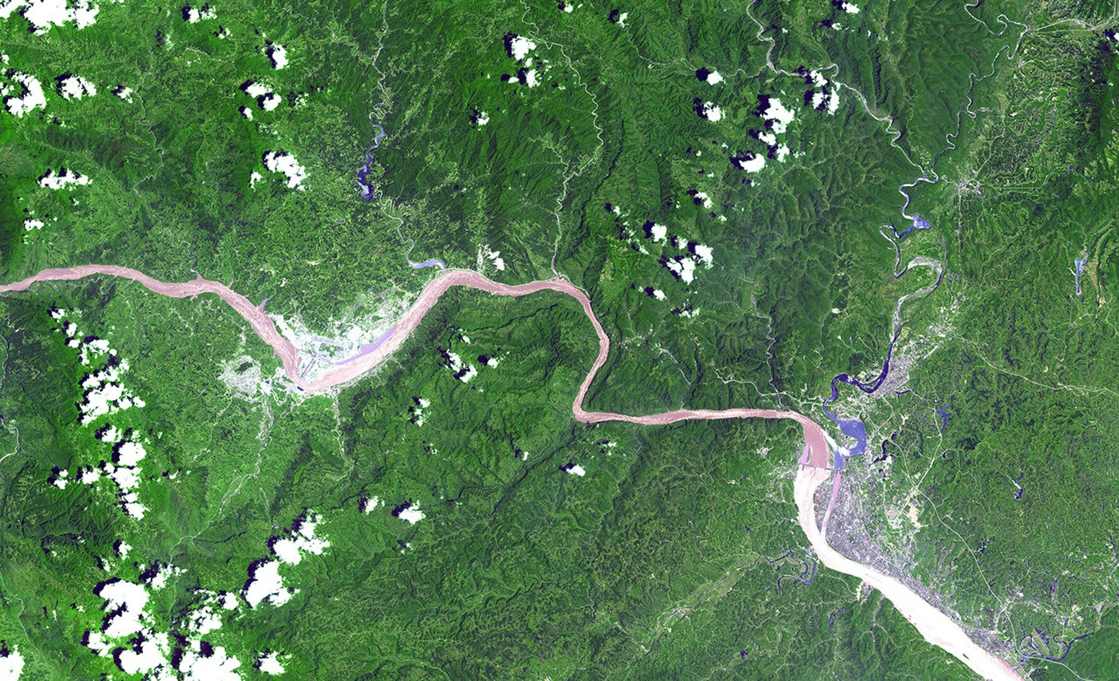
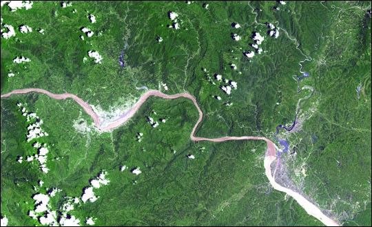
The above image shows a 60-kilometer stretch of the Yangtze River in China. In the image, one can see the Xiling Gorge, which is the easternmost of the three big gorges along the Yangtze. The construction site of the Three Gorges Dam, slated to be the world’s largest, sits on the left-hand side of the image along the big bend in the river. The dam is being built in part to control flooding along the Yangtze.
This image was acquired on July 17, 2000, by the Advanced Spaceborne Thermal Emission and Reflection Radiometer (ASTER) on NASA’s Terra satellite. With its 14 spectral bands from the visible to the thermal infrared wavelength region and high spatial resolution of 15 to 90 meters (about 50 to 300 feet), ASTER will image Earth for the next six years to map and monitor the changing surface of our planet.
Size: 60 x 24 kilometers (36 x 15 miles)
Location: 30.6 degrees north latitude, 111.2 degrees east longitude
Orientation: north at top
Image Data: ASTER bands 1,2, and 3
Original Data Resolution: 15 meters
Date Acquired: July 17, 2000
References & Resources
Image courtesy NASA/GSFC/MITI/ERSDAC/JAROS, and U.S./Japan ASTER Science Team