


![Request for Information – Potential [Placeholder for Prize]](https://assets.science.nasa.gov/dynamicimage/assets/science/missions/a-step/FFR_Earth_Background_20251120%20.png?w=1024)


browseimage of orbit 15805 (700 KB JPEG)
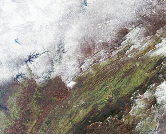
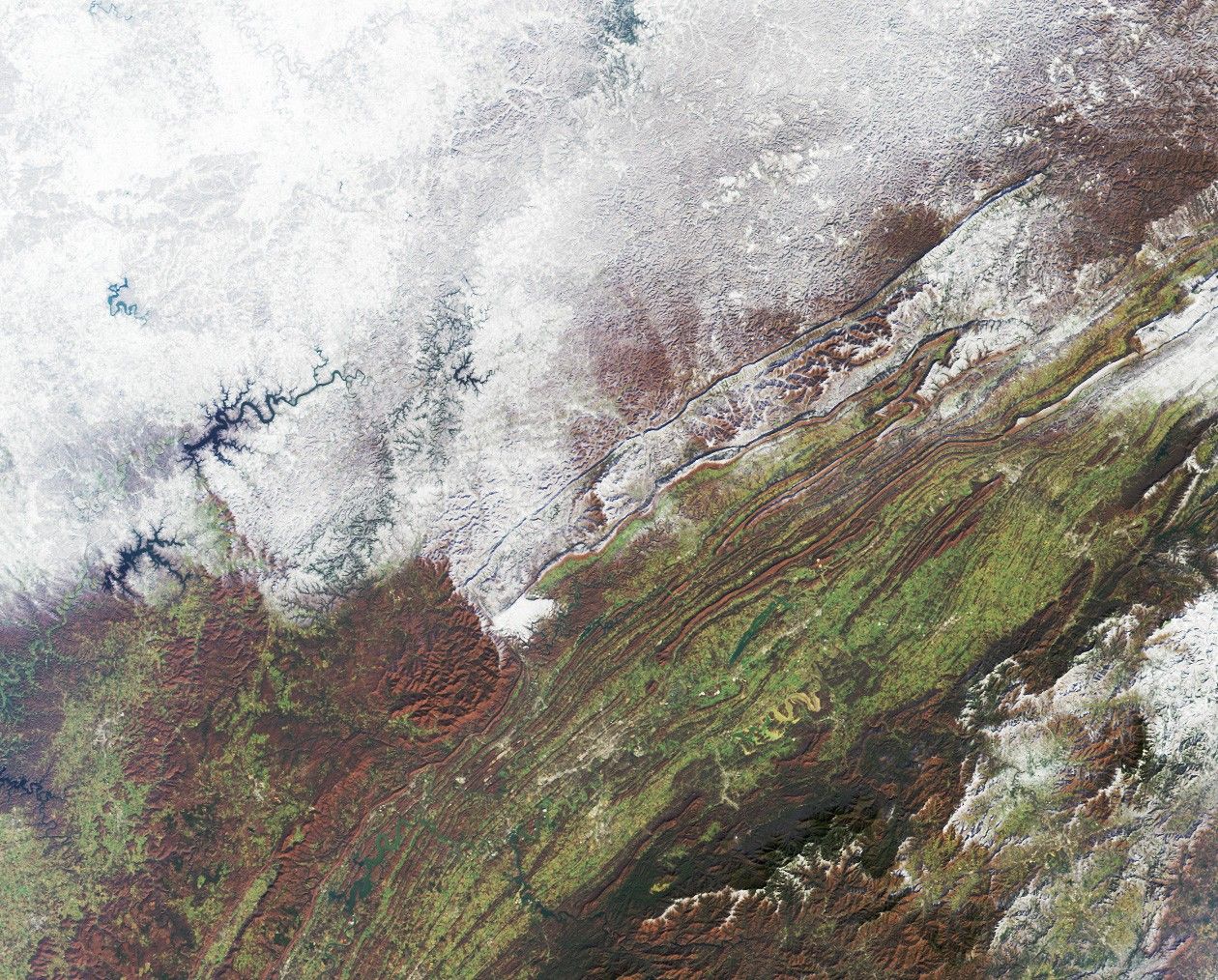
The snowstorm which swept across the eastern United States on December 4and 5 also brought the season’s first snow to parts of the south andsouthern Appalachia. The extent of snow cover over central Kentucky,eastern Tennessee, western North Carolina and Virginia are apparent inthis view from the Multi-angle Imaging SpectroRadiometer (MISR). Thisnatural-color image was captured by MISR’s downward-looking (nadir)camera on December 7, 2002.
The Appalachians are bounded by the Blue Ridge mountain belt along theeast and the Appalachian Plateau along the west. Valleys and ridgesbetween the higher elevation areas retain the green and reddish-brownhues of autumn, and many rivers and lakes appear blue and unfrozen. Thehighest peak in the eastern United States, Mount Mitchell, is found inNorth Carolina’s western tip, near the Great Smoky Mountains (thedark-colored range at lower right).
The Multi-angle Imaging SpectroRadiometer observes the daylit Earthcontinuously and every 9 days views the entire globe between 82 degreesnorth and 82 degrees south latitude. The MISR Browse Image Viewer provides access tolow-resolution true-color versions of these images. This data product was generatedfrom a portion of the imagery acquired during Terra orbit 15805. Theimage covers an area of 347 kilometers x 279 kilometers, and utilizesdata from blocks 60 to 62 within World Reference System-2 path 19.
References & Resources
Image courtesy NASA/GSFC/LaRC/JPL, MISR Team. Text by Clare Averill (Acro Service Corporation/Jet Propulsion Laboratory).


