After orbiting Earth in 1962, John Glenn remarked on an irrigated valley northwest of El Paso, Texas, that stood out against the surrounding desert. Human-made lakes along the Rio Grande have made agriculture possible and turned an otherwise dry area green, as Glenn observed. With water for irrigation, farmers there produce crops such as alfalfa, cotton, onions, pecans, and the regional specialty: Hatch green chiles.
Abnormally dry conditions in the Rio Grande basin, however, have stressed these water resources. Extreme drought has plagued the region for the past several years. The earliest snowmelt on record at the river’s headwaters in the southern Rockies exacerbated the situation in 2026.
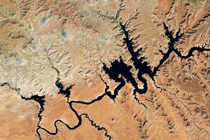
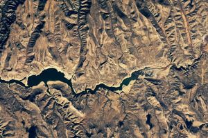
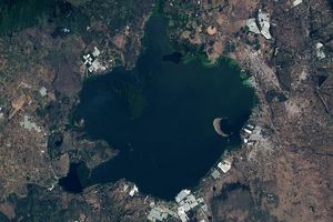
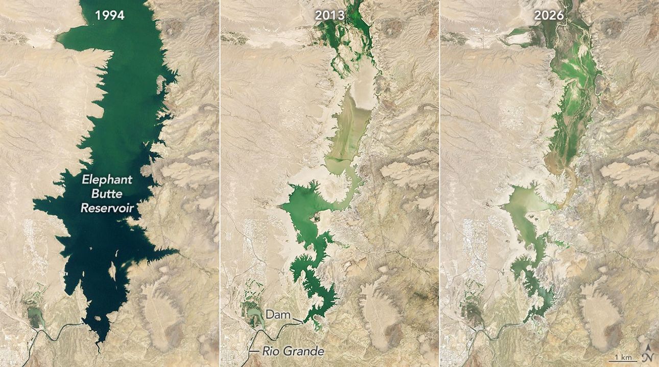
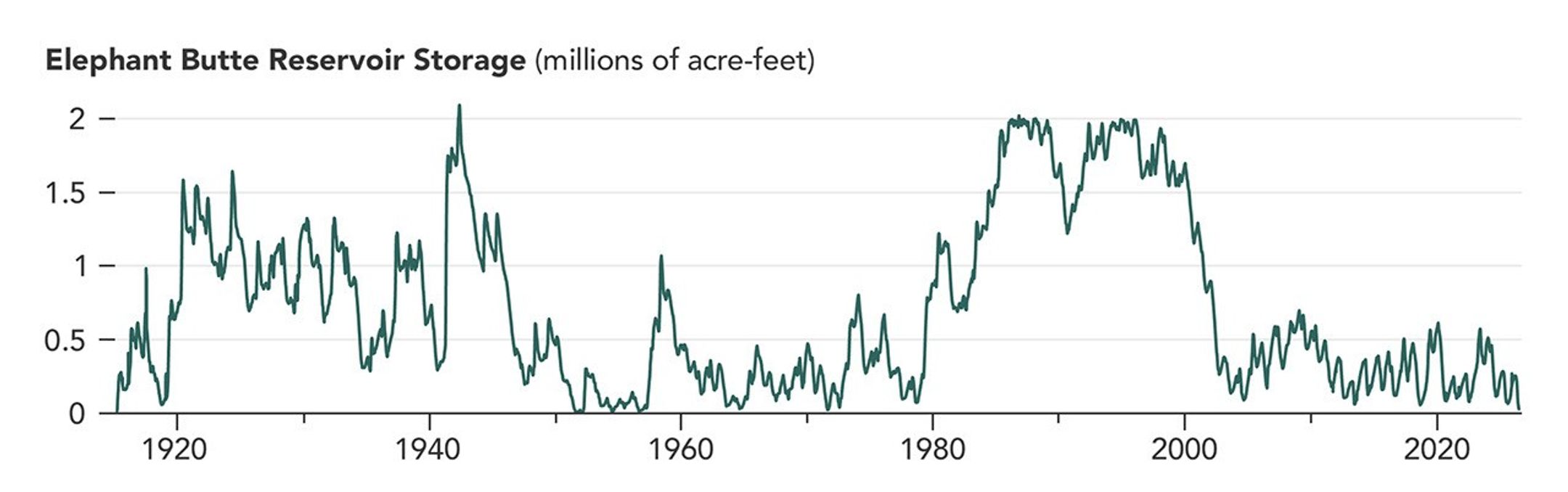
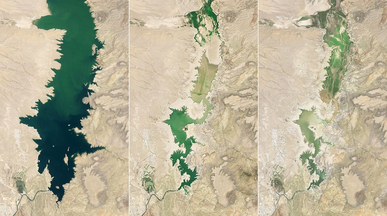
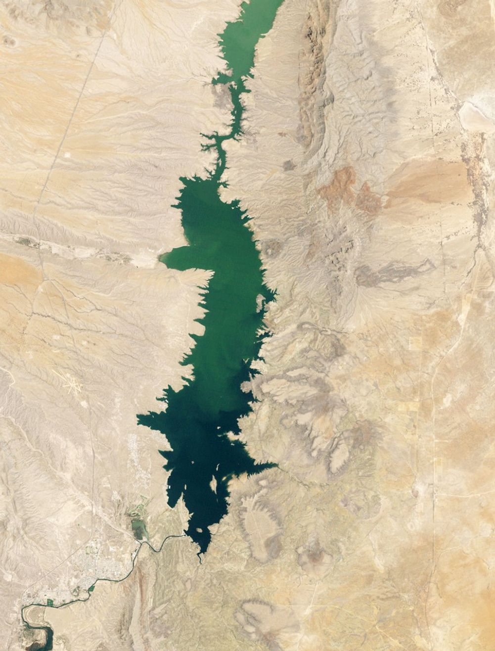
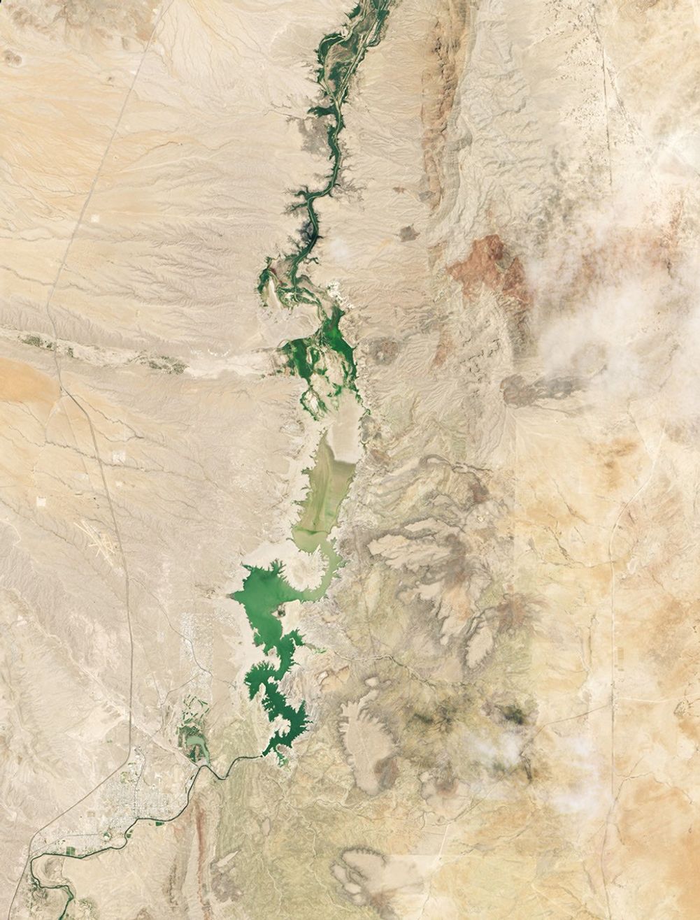
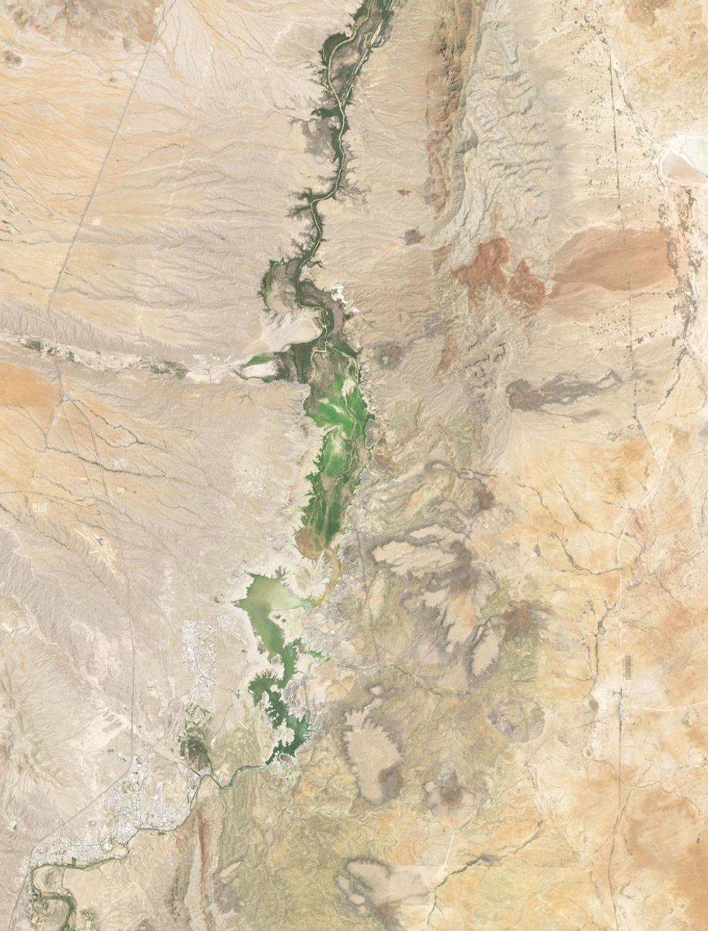
These factors have contributed to driving Elephant Butte Reservoir, the largest reservoir in New Mexico, to its lowest level since 1971. When the image above was acquired on July 27, 2026 (right), it stood at 1.4 percent capacity. For comparison, the reservoir was nearly full on June 2, 1994 (left); levels were high for much of the period between 1985 and 2000. On July 8, 2013 (center), amid another drought, the lake hit its annual low of 2.9 percent capacity.
The low water levels in 2026 exposed debris along the shoreline and left boat ramps in Elephant Butte Lake State Park covered in sediment. But the lake likely bottomed out for the year in late July. Water releases for agriculture stopped after July 28, state officials said, allowing it to slowly begin to refill.
The long-term drought situation has brought the Rio Grande’s water woes and their wider implications into sharp focus. Users in both New Mexico and Texas rely on surface and groundwater in the valley, requiring careful planning around storage and sharing. Several projects supported by NASA’s Western Water Action Office (WWAO) are aimed at equipping water managers with NASA data and tools that assist in resource allocation.
For instance, researchers developed a model that incorporates NASA satellite data for variables such as soil moisture and evapotranspiration, resulting in a near-real-time tool that complements the Elephant Butte Irrigation District’s existing water allocation operations. Another project paired satellite observations of water surface heights with drone and ground data to track how groundwater pumping affects the Rio Grande's flow—information that the WWAO says can help managers in administering water rights. NASA scientists are also contributing to a federal study of the Upper Rio Grande that aims to understand water needs, project future water availability, and develop data-driven tools to address these needs.
NASA Earth Observatory images by Michala Garrison, using Landsat data from the U.S. Geological Survey and water volume data from the Texas Water Development Board. Story by Lindsey Doermann.
References & Resources
- KRQE News (2026, July 23) Water levels drop historically low at Elephant Butte exposing 50-year-old debris and artifacts. Accessed August 17, 2026.
- NASA Earth Observatory (2013, July 26) Drought Dries Elephant Butte Reservoir. Accessed August 17, 2026.
- NASA Jet Propulsion Laboratory, NASA Western Water Action Office. Accessed August 17, 2026.
- National Integrated Drought Information System (2026, August 11) Rio Grande Region Watershed Drought Information. Accessed August 17, 2026.
- National Integrated Drought Information System (2026, May 14) Snow Drought Current Conditions and Impacts in the West. Accessed August 17, 2026.
- New Mexico Energy, Minerals and Natural Resources Department (2026, July 22) Update on low water levels at Elephant Butte Lake State Park. Accessed August 17, 2026.
- Water Data for Texas (2026) Elephant Butte Lake. Accessed August 17, 2026.