














NASA Arizona Field Investigations Advance Planetary Science
To better understand processes shaping Earth, the Moon, Mars, and worlds beyond, NASA scientists conducted several interlocking field investigations near Flagstaff, Arizona this September. The team gathered data and tested field techniques at worksites including a lava tunnel, an impact crater, fields of volcanic debris, and a simulated lunar landscape.
Subsurface structures, chemical changes at Meteor Crater
Standing at the edge of Meteor Crater is as close as most visitors will get to peering into an impact crater on the Moon. It is one of the only spots on Earth where the site of a huge impact is well-preserved, not erased by rain, wind, volcanism, and plate tectonics. For the same reason, this 4,000-foot-wide crater has drawn the attention of scientists and astronaut trainers for generations. NASA’s Goddard Instrument Field Team, based at the agency’s Goddard Space Flight Center in Greenbelt, Maryland, is working to add a new chapter to the region’s science story.
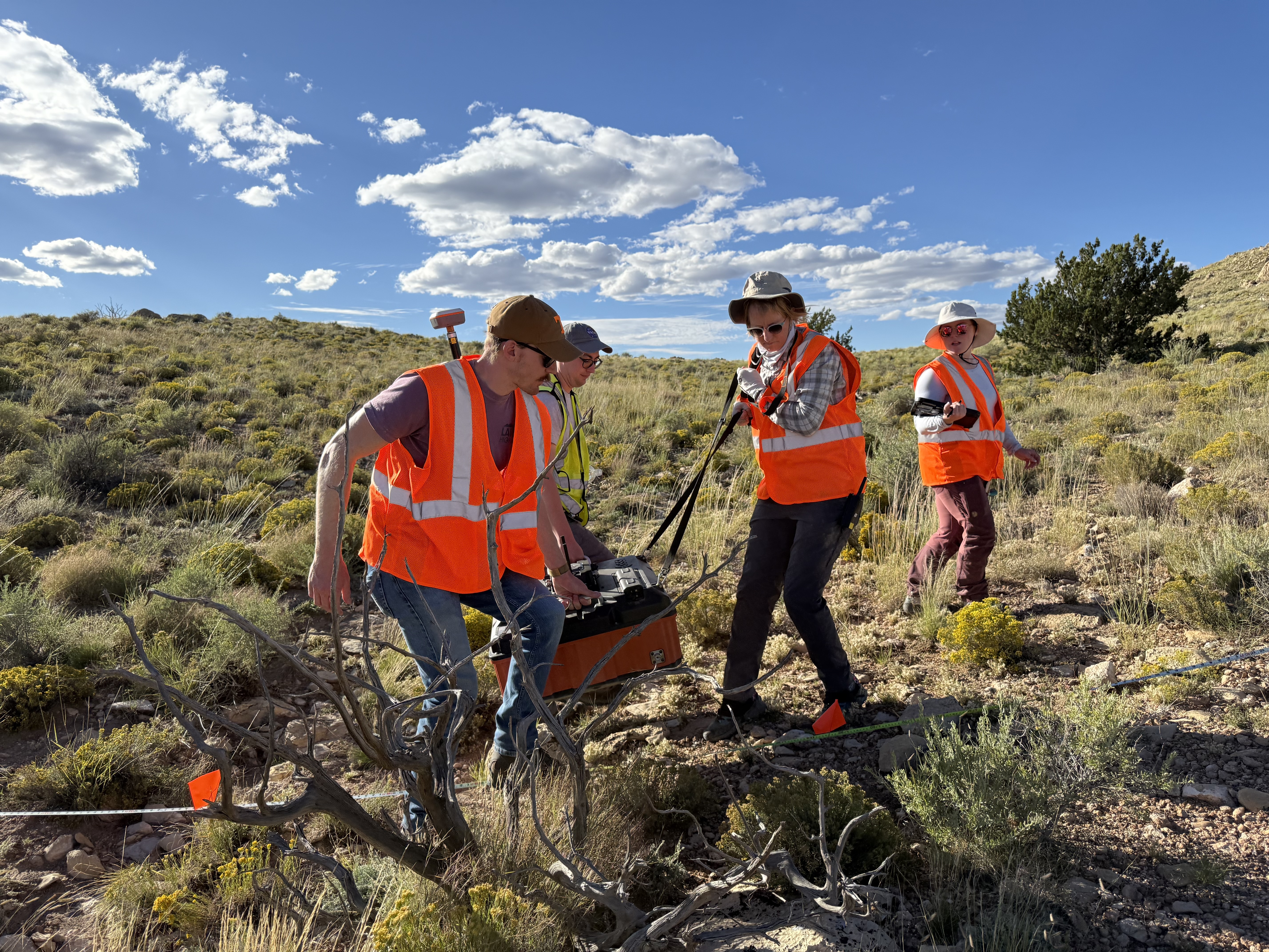
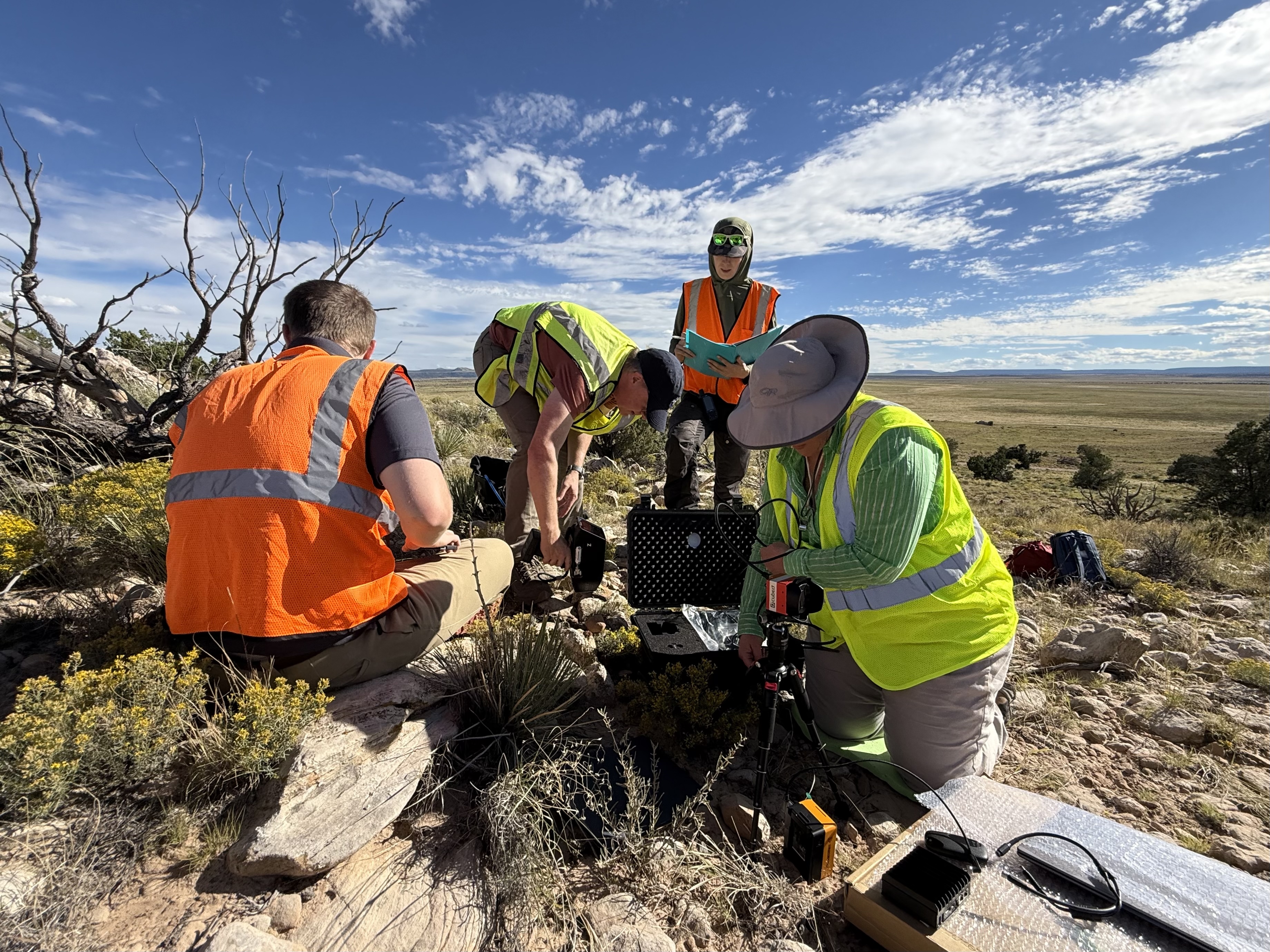
This field campaign saw a small cluster of scientists laboriously moving ground-penetrating radar antennas, meter by meter, along a line extending from the crater’s edge far out across the debris field blasted up by the explosion 50,000 years ago. Another crew followed in their footsteps with a long chain of seismic detectors, slamming the ground with a sledgehammer at each point along the line and measuring the vibrations of the strikes.
Each of these kinds of data fills in part of the picture of what’s hidden underground. And in this landscape, what’s underground was once on top! The violent impact that created this crater excavated material from deep beneath the surface, shot it into the air, and deposited it in a blanket extending outward from the crater rim. How far the blanket goes, and how the layers within it are arranged, are questions the team is working to answer. What they learn will influence how lunar scientists think about similar investigations on the Moon’s surface.
A short way along the crater rim, a third group revealed clues about rock composition, also with the help of specialized field instruments. Their fieldwork focused on how the immense forces of impact have changed the geochemistry of this landscape. By practicing at field sites like this one, they also aim to find out how we can detect samples of high scientific interest for future exploration of impact sites beyond Earth.
Testing mapping techniques for other worlds at Lava River Cave
West of Meteor Crater, underneath the Coconino National Forest, below a carpet of pine needles and a layer of rocky dirt, a lava cave extends into the darkness. From its opening on the forest floor, the cave dips down through a subsurface boulder field before winding along for nearly a mile. This cave, like some found on the Moon, Mars, and other worlds, is a “lava tube”. It formed as a flow of molten rock hardened from the outside in, eventually emptying out and leaving behind a sinuous tunnel. The tunnel’s exact path is difficult to measure, as GPS signals cannot penetrate the ground, and iron in the rock interferes with compasses. To create a more precise map of the cave, the team examined it with specialized tools and techniques from both above and below ground.
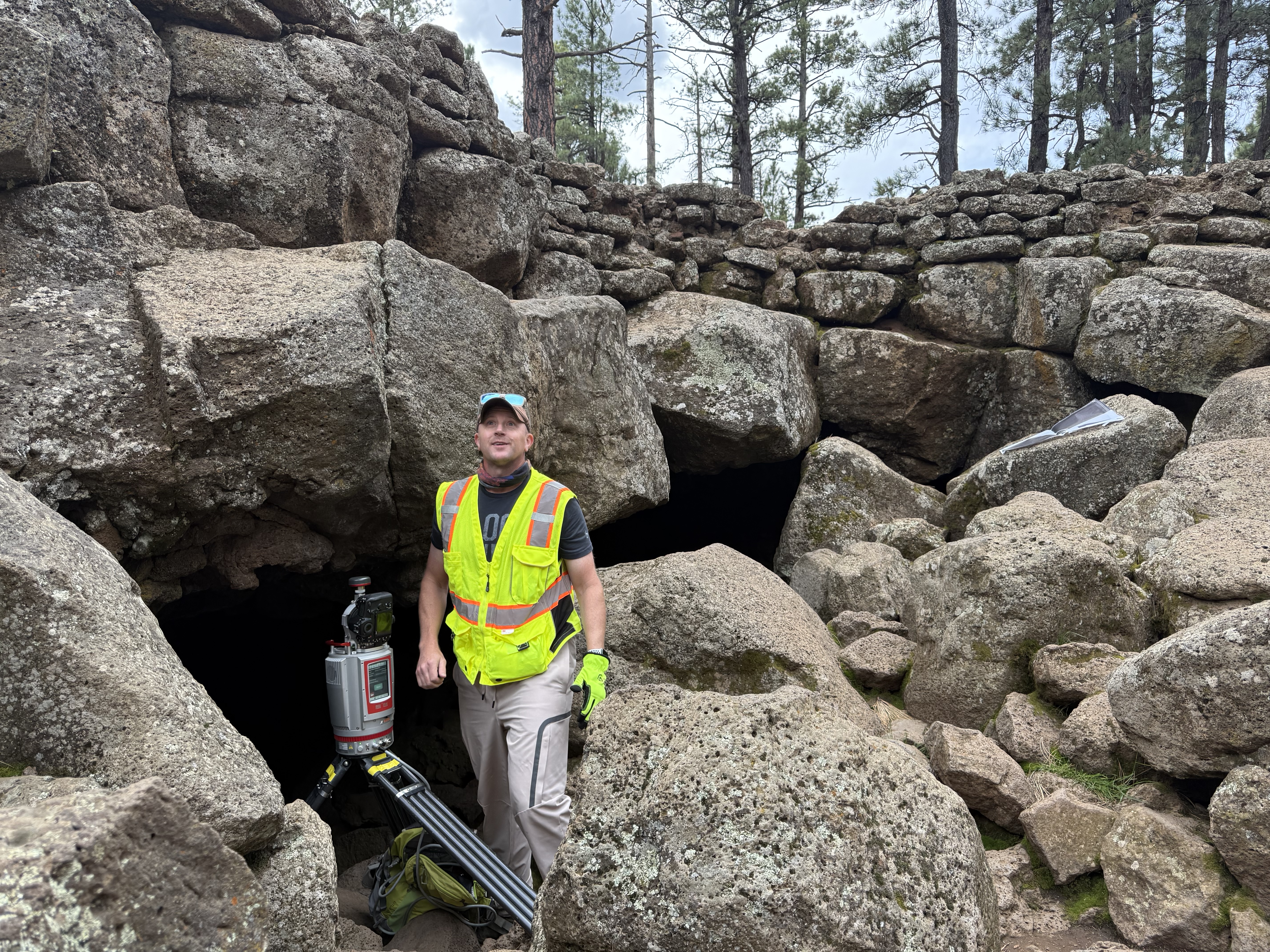
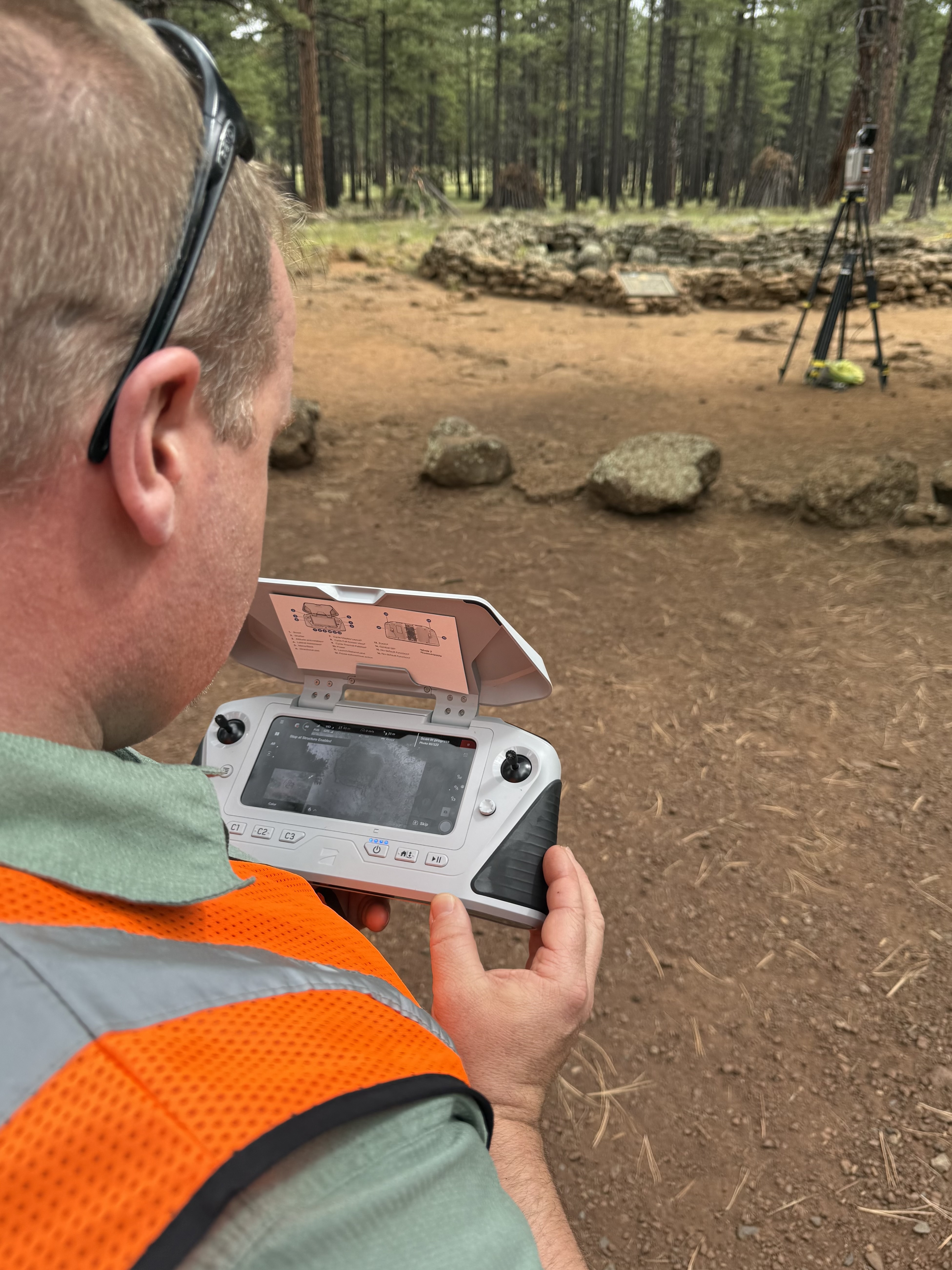
In the field, scientists traced the shape of the cave’s insides with laser-ranging systems. They’ll use this data to reconstruct the underground space in 3D. Connecting the map of the tunnel’s interior to what is outside and orienting it to the forest above are the trickiest parts. To bridge the underground and above-ground worlds, they measured the cave mouth from every angle, capturing dozens of laser scans based at points all around and through the opening. Aerial imaging, also taken from many angles, completed the view, providing crucial context to orient the laser scans.
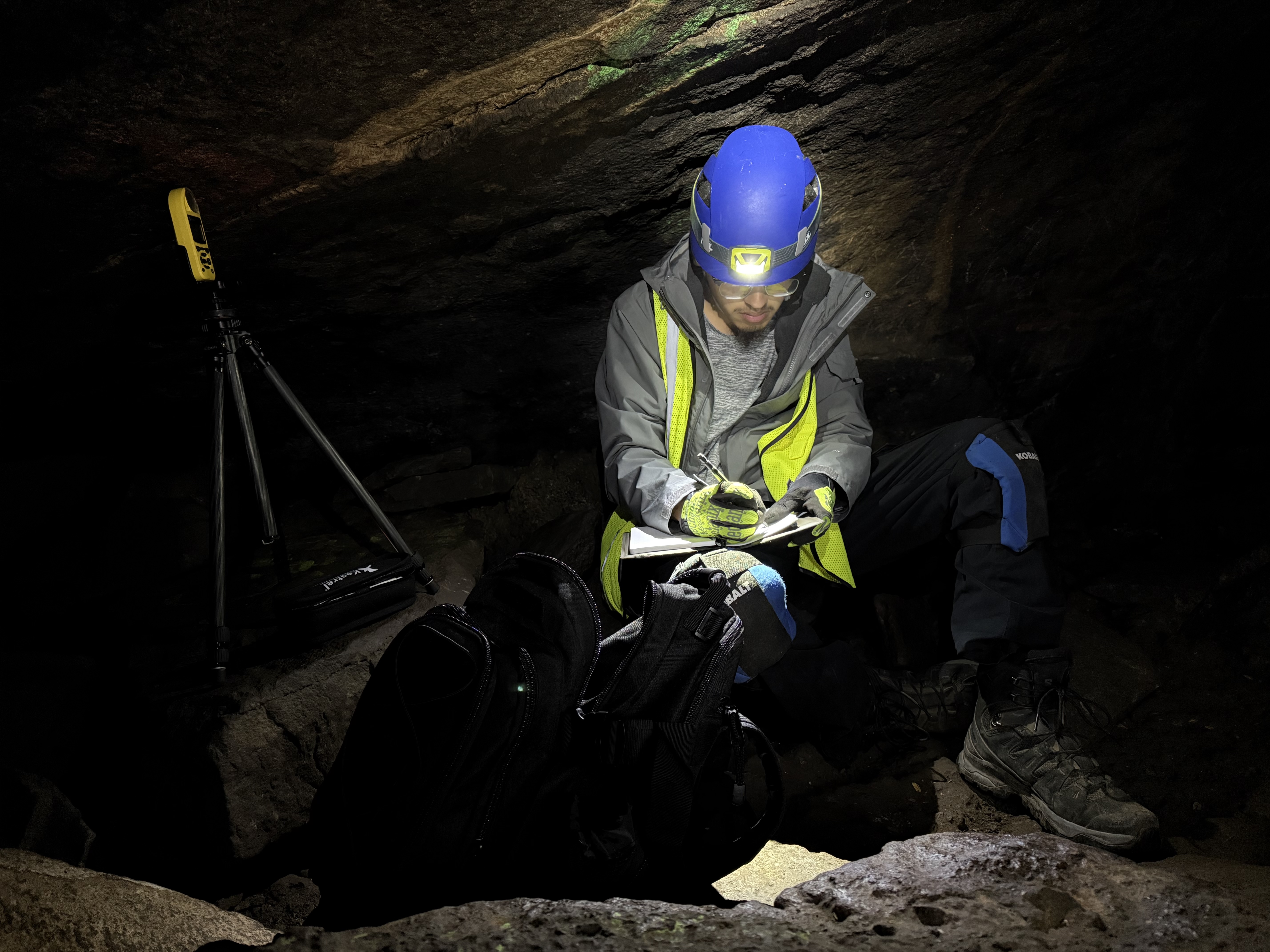
Inside the cave, scientists measured temperature and humidity at dozens of points along the tunnel and checked the hardness of the rock wall every few yards. If humans explore lava tubes on other worlds someday, their field techniques and science questions could be based in part on expeditions such as this one.
On the rocks: from Earth to the Moon, Mars
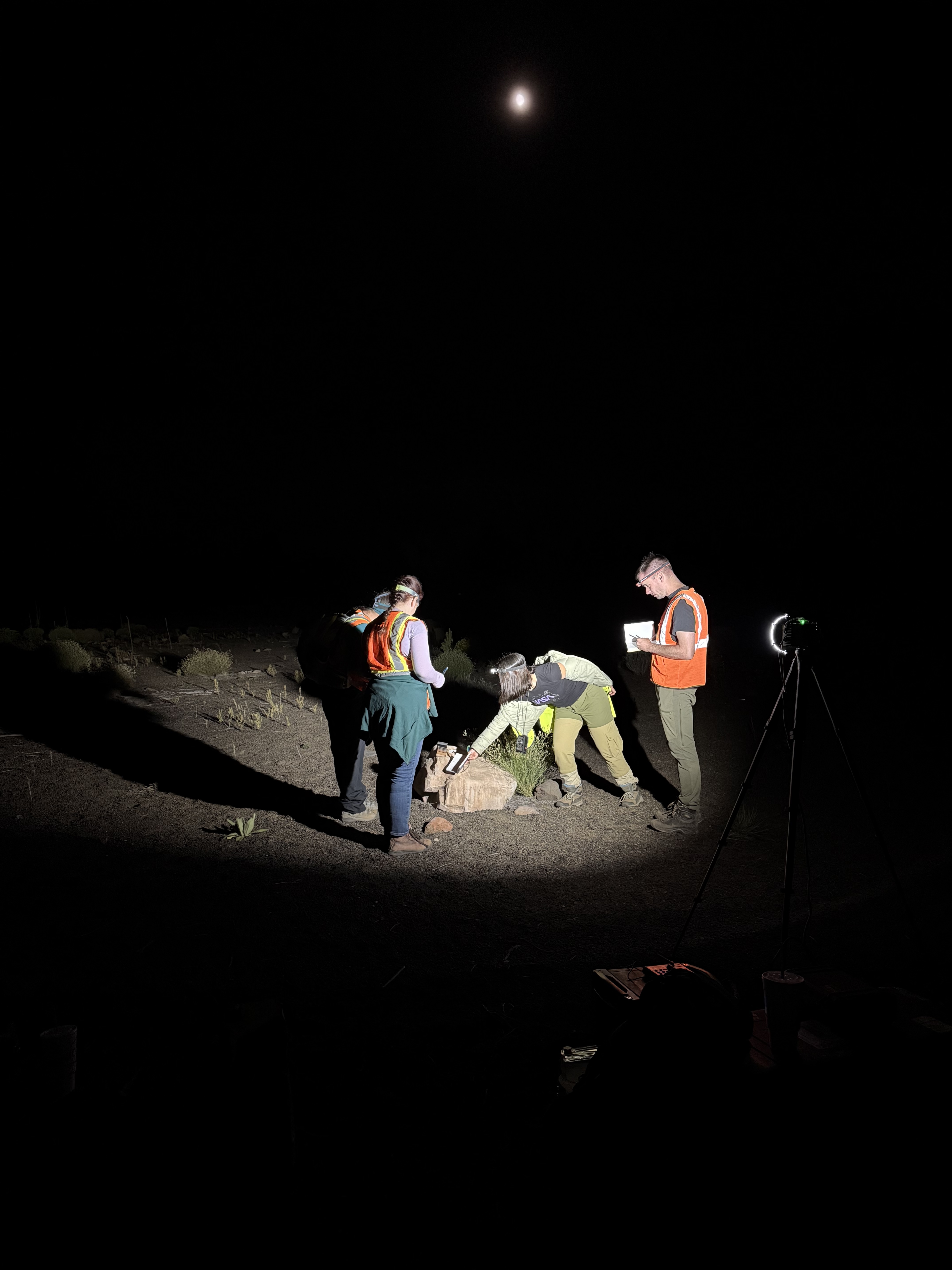
At Cinder Lake Crater Field in Coconino, a simulated lunar terrain originally created for Apollo astronaut training, researchers worked day and night to understand how people perceive the color of Moon-like rocks under different lighting conditions. (Varied lighting is a serious challenge that moonwalk planners are working hard to prepare for.)
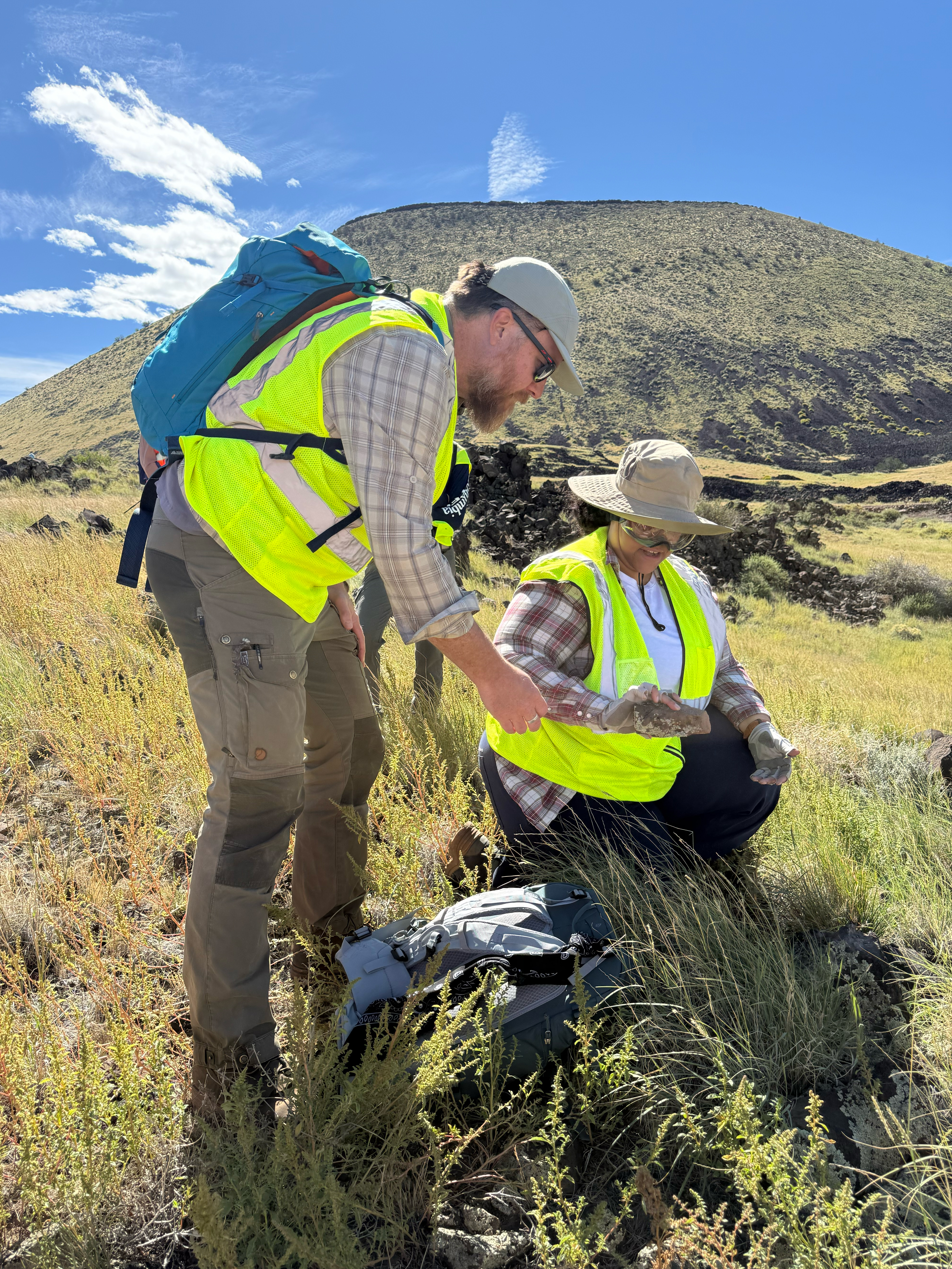
Other scientists hiked the grassy slopes of SP Crater, a prominent volcanic cone in the vast San Francisco Volcanic Field. With rock hammers in hand, they searched for samples containing cooled gas bubbles, or vesicles, of varying sizes. Back in the lab in Maryland, their team will work to find out how vesicles from different parts of the lava flow can help us understand the gas contents of the original magma, and how the lava erupted and cooled once above ground.
East of Coconino in Petrified Forest National Park, a team set out to understand how volcanic materials change over time, with Mars in mind. This group studied two contrasting kinds of volcanic material up close: cooled lava flows (“just” a few million years old), and clays made of much older ashfall from explosive, ancient eruptions. Over time, the cooled lava flows and ash-derived clays change and wear away in different ways. Examples of these two eruption styles right next to each other are uncommon on Earth but are areas of active study on Mars. Ultimately, the team wants to be able to tell what kind of material is being eroded, and what kind of volcanic event created that material, by working backward from the kind of erosion they see. This is a step toward unraveling the types and timing of volcanic activity throughout Martian history.
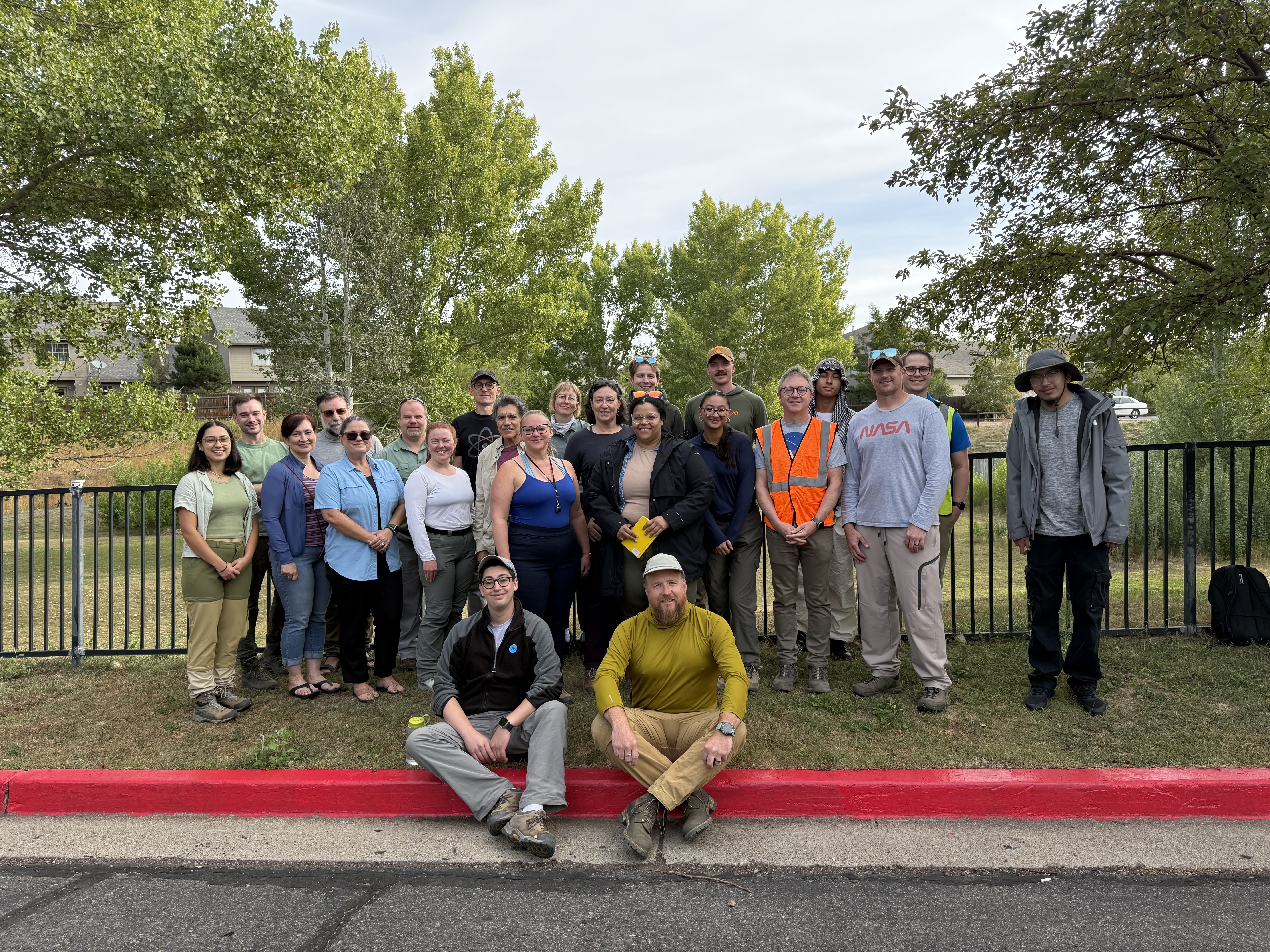
With the expedition complete, the team’s attention now turns to lab follow-up and data analysis. Data from this week of fieldwork is poised to feed into years of future research, advancing knowledge of how planets work and helping NASA investigate other worlds.
By Caela Barry
NASA’s Goddard Space Flight Center, Greenbelt, Md.
About Planetary Analogs
Our planet isn’t the only place with volcanoes, ice, impact craters, quakes, and erosion. Studying extreme environments on Earth helps us to understand other worlds better, too.
Learn More