Earth planning date: Wednesday, Dec. 4, 2024
As the Curiosity rover climbs west toward the broad saddle separating Gediz Vallis from its neighboring canyon on the slopes of Mount Sharp, the rover is also approaching the edge of its current geological quadrangle or “quad” map on Mars. The current quad, designated “Bishop,” has meant that all of the targets studied by Curiosity since August 2023 have been named after places of geological interest near Bishop, California, on Earth. The Earthly Bishop quad includes locales in the Sierra Nevada, Owens Valley, and Inyo/White Mountains of California. The team has taken great pleasure in visiting some of Curiosity’s target namesakes during the past year during their off hours, practicing geology while enjoying lovely mountains, lakes, and deserts. However, in the next few plans, readers of this blog will see a different target naming scheme for Curiosity targets. Previous quads have honored regions of Scotland and Brazil, among other places. Read "Mission Update" for Friday, Dec. 6, to find out what the next Martian quad theme will be!
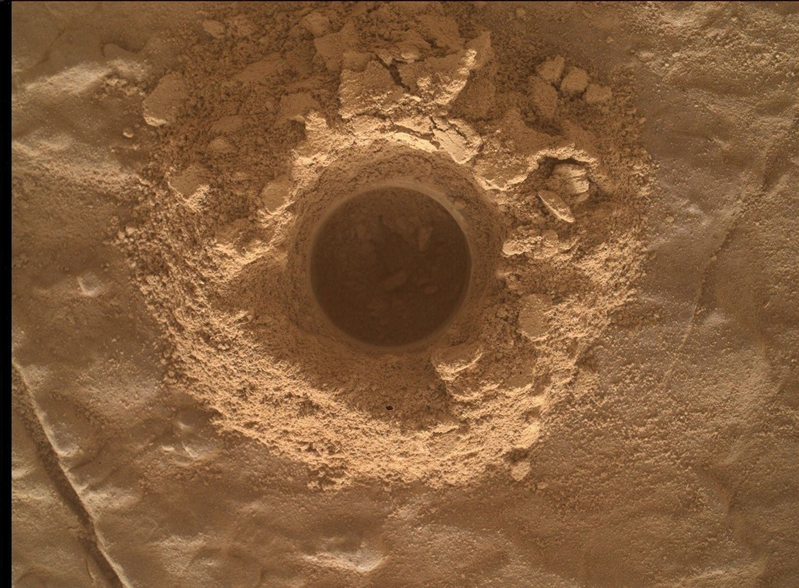
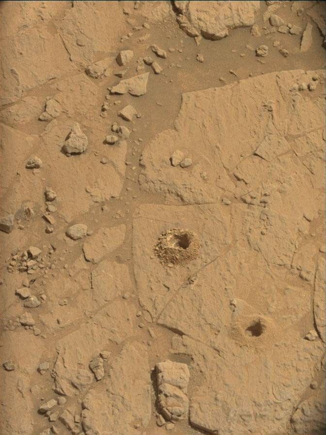
Curiosity’s drive on Monday completed successfully. The quote of the day during planning was, “I wish all SRAPs were this easy!” The translation is that all six of Curiosity’s wheels are firmly seated on solid ground, ensuring that the rover will not “pop a wheelie” when the heavy robotic arm reaches out to take close-ups of the nearby rock formations. This paves the way for a very full sol of science investigations prior to the next drive. This plan’s science emphasis is on fractures and light-colored veins in the rocks, indicating that cracks in the rocks experienced groundwater intrusion at some point in the distant past. On sol 4384, APXS and MAHLI will study “Three Brothers.” This is a vertical vein with a tricky arm approach, and MAHLI will use rotational stereo imaging to get a 3D perspective of it at close range. “Three Brothers” is named for a monumental set of peaks on the north side of Yosemite Valley. John Muir considered the view from the northernmost peak to be the best view of Yosemite Valley. MAHLI will also obtain finely detailed images of “Placerville,” a set of small pebbles named for the famous California Gold Rush town. ChemCam will do laser spectroscopy of a vein network in target “Cyclone Meadow,” honoring a lovely alpine meadow at around 9,400 feet in the Southern Sierra Nevada. ChemCam will also take telescopic RMI images of the bright “yardang” wind-eroded upper layers of Mount Sharp seen in the distance in the accompanying Navcam image. Mastcam will obtain before/after high resolution imaging of the laser target, as well as a large 22x1 stereo mosaic of “Dusy Branch,” named for Dusy Branch, a mountain stream flowing into the Bishop Creek canyon. Mastcam will also take smaller mosaics of the vein structures in “Groveland,” named for the western gateway town of Yosemite National Park, as well as images of red pebbles and exotic cobbles. Following that science block, Curiosity will drive 43 meters (about 141 feet) toward the west, ending with a MARDI image in addition to the usual post-drive image panoramas.
On sol 4384, ChemCam and Navcam will be used together to obtain AEGIS observations of nearby bedrock. Atmospheric observations of dust opacity, clouds, and dust devils will complete the science for this plan. The next plan will see Curiosity drive uphill to the west and away from our beloved Bishop quad.
Written by Deborah Padgett, OPGS Task Lead at NASA's Jet Propulsion Laboratory


