Written by Catherine O'Connell-Cooper, Planetary Geologist at University of New Brunswick
Earth planning date: Monday, April 7, 2025
Over the weekend, we completed our drive up the steep side of a canyon, up onto “Devil’s Gate,” a small butte which forms part of the ridge along the top of the canyon and now we can see down into the next canyon. It is always true that we are going somewhere no one has been before – that's the idea of an exploratory mission after all, and everyone kind of gets used to it, we don't stop to think about it. But today, coming over the top of a hill like this and fully looking for the first time into an area that we have only had glimpses of before, it really brings it home that the mission is doing something extraordinary, something out of this world .... and brings that feeling of awe back into focus.
We did not pass SRAP (Slip Risk Assessment Process) a couple of times as we climbed up the side of this canyon, meaning that the contact science instruments (APXS and MAHLI) had to stand down for that day’s planning. However, this morning, in addition to a brand new vista, we saw that all six wheels are firmly on the ground and we passed SRAP quickly this morning, which must have been a relief to the rover planner in charge of assessing it today! (no one wants to be the bearer of bad news, day after day!)
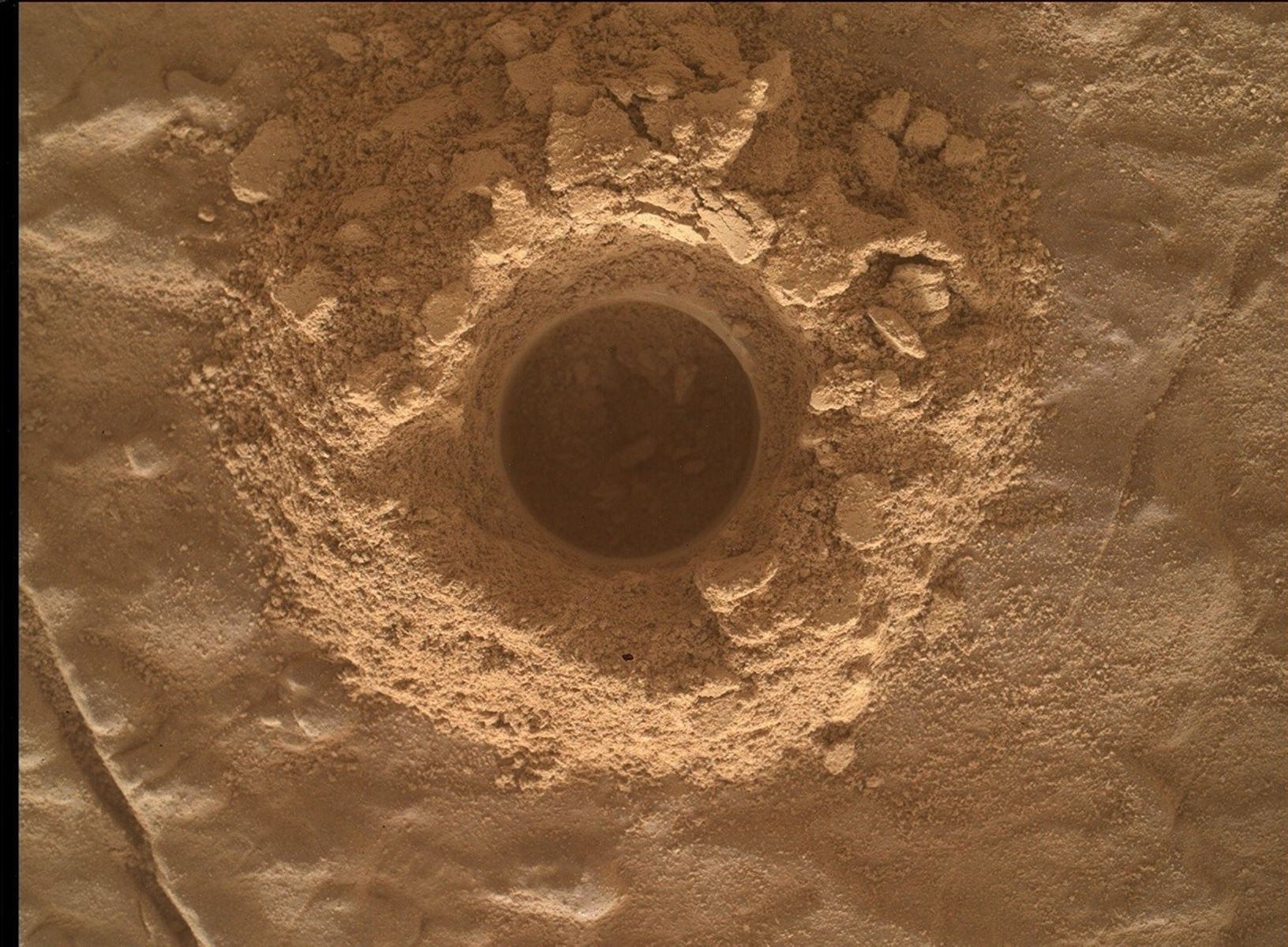
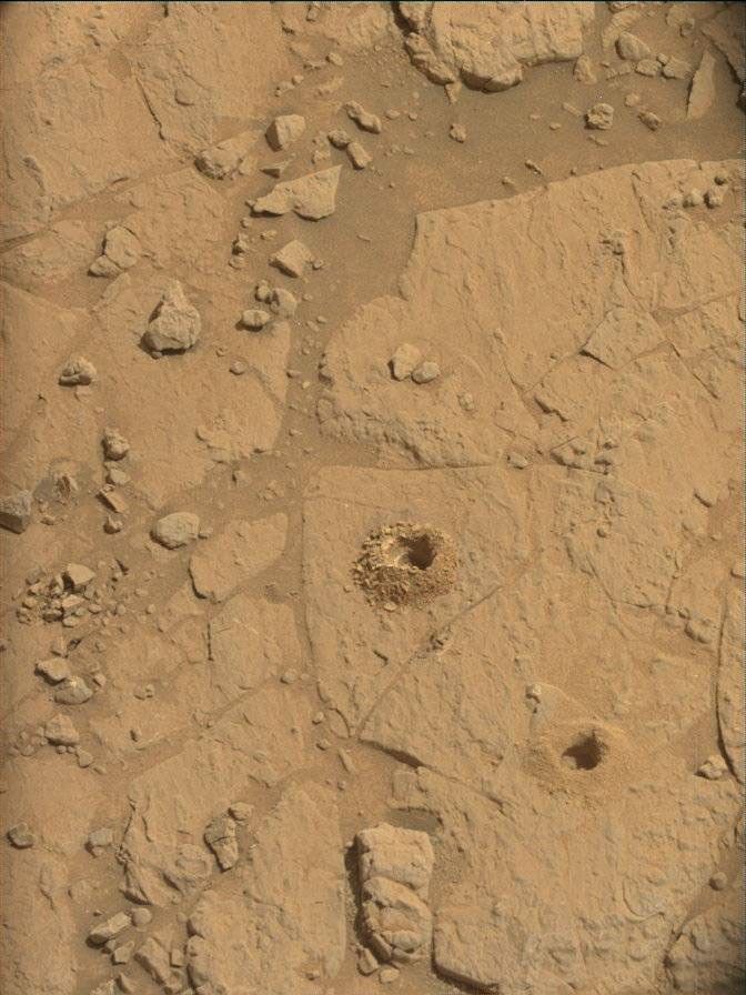
Bedrock here has both flat bedrock and amazing large nodular features, which appear to have “wind tails” caused by winds consistently blowing in the same direction. This is a Touch and Go plan, so APXS and MAHLI are focusing on a single target, the brushed “Coronado” target on the flat bedrock in front of us. ChemCam will use LIBS to investigate the nodular features at “La Cumbre Peak.”
Near the rover, Mastcam will image some small diagenetic features at “Boulder Oaks” and the LIBS target. The 3x2 (2 rows of 3 images) “La Jolla Valley” mosaic focuses on a very nodular patch, just outside of the workspace reachable by the arm. Further from the rover, the 6x2 mosaic (2 rows of 6 images) “Los Penasquitos” looks at an amazing almost vertical vein. This discontinuous vein stretches for about 6 meters (about 18 feet), with vein fins sticking above the surface at various points, like a series of shark fins breaking the bedrock surface. Much further afield, ChemCam will acquire a long distance image on "Condor Peak,” which appears to have large scale vein networks, known as “boxwork structures” and may be an early example of the boxworks we are hoping to reach in Fall 2025.
The ENV (Environmental and Atmospheric group) planned a Mastcam “tau” measurement, to look at dust in the atmosphere. There is a paired Navcam activity, looking at dust devils towards the north of the crater on the first sol and towards the south on the second sol. A suprahorizon movie and our usual DAN and REMS measurements round out this plan.
Let’s see what the next drive will reveal to us!


