














NASA Researchers Create 3D Maps of California to Assess Wildfire Risk
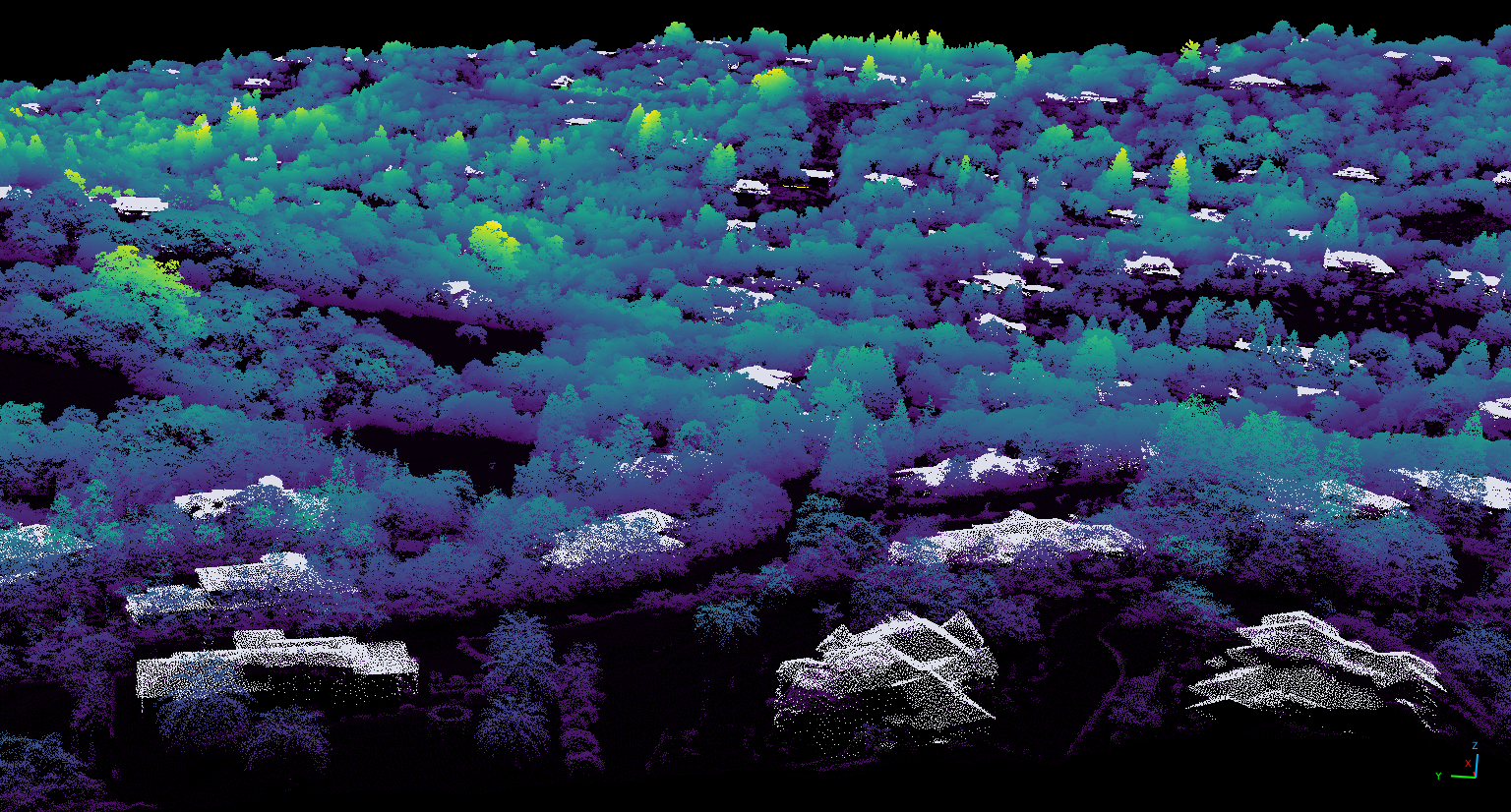
NASA researchers have produced detailed 3D topography maps for all of California, down to the scale of a single tree.
NASA’s Wildfire, Ecosystem Resilience, and Risk Assessment Initiative team used airborne lidar, a technology that uses a pulsed laser to measure distances, with data collected by the U.S. Geological Survey’s 3D Elevation Program to create a consistent statewide map, with a pixel size of one square meter (about 1.2 square yards). By comparison, most space-based lidar data have a resolution of 10 to 25 square meters per pixel.
Scientists use lidar, which stands for light detection and ranging, to create comprehensive 3D maps of forests, cities, and even distant planets and moons.
The NASA Wildfire, Ecosystem Resilience, and Risk Assessment Initiative team, in collaboration with partners at the California Natural Resources Agency and California Air Resources Board, hopes to use these high-resolution maps to develop products that help assess wildfire risk, protect wildlife and ecosystems, and manage natural resources across California.
View the lidar dataset online.
By Milan Loiacono
NASA’s Ames Research Center