Earth Science Missions
Seeing Earth from Space
NASA’s Earth Science Division (ESD) missions help us to understand our planet’s interconnected systems, from a global scale down to minute processes. Using observations from satellites, instruments on the International Space Station, airplanes, balloons, ships and on land, ESD researchers collect data about the science of our planet’s atmospheric motion and composition; land cover, land use and vegetation; ocean currents, temperatures and upper-ocean life; and ice on land and sea.
Active Missions
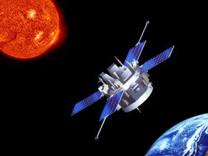
ACE (Advanced Composition Explorer) is Designed to collect and analyze particles from near and far, ranging from solar wind ions…
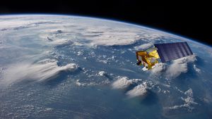
Aqua is a NASA Earth Science satellite mission that is collecting data about the Earth's water cycle.
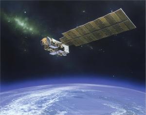
Aura (Latin for breeze) obtains measurements of ozone, aerosols and key gases throughout the atmosphere.
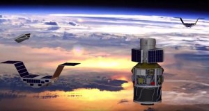
CYGNSS (Cyclone Global Navigation Satellite System) uses eight micro-satellites to measure wind speeds over Earth's oceans, increasing the ability of…

DSCOVR (Deep Space Climate Observatory) is a space weather station that monitors the solar wind, provides space weather alerts and…
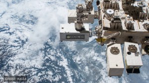
ECOSTRESS (ECOsystem Spaceborne Thermal Radiometer Experiment on Space Station) is accurately measuring the temperature of plants on Earth.

EMIT (Earth Surface Mineral Dust Source Investigation) measures the mineral composition of Earth’s dust source regions, to help scientists understand…
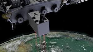
GEDI (Global Ecosystem Dynamics Investigation) is helping determine how deforestation has contributed to atmospheric CO2 concentrations, how much carbon forests…
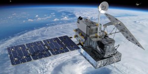
The Global Precipitation Measurement (GPM) mission is an international network of satellites that provide next-generation global observations of rain and…
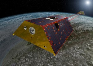
GRACE-FO (Gravity Recovery and Climate Experiment Follow-on) is a successor to the original GRACE mission, which orbited Earth from 2002-2017.…
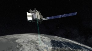
ICESat-2 (Ice, Cloud, and Land Elevation Satellite 2) measures the height of a changing Earth, one laser pulse at a…
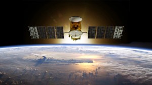
Jason-3 is the fourth mission in a U.S.-European series of satellite missions that measure the height of the ocean surface.
Future Missions
GLIMR (Geostationary Littoral Imaging and Monitoring Radiometer) will be a space-based instrument that will help scientists observe and monitor ocean…
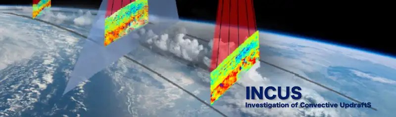
INCUS (INvestigation of Convective UpdraftS) will include three SmallSats flying in tight coordination to study why convective storms, heavy precipitation,…
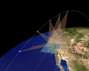
MAIA (Multi-Angle Imager for Aerosols) will study the size, makeup, and quantity of airborne particles, to show how this pollution…

Space Weather Follow On (SWFO) program develops and deploys operational satellite systems that study space weather and safeguard society.
Monitoring Earth Via Satellite
An animated view of NASA's Earth observing fleet, as it looks today. This 30 second visualization is updated once per day. Time shown in UTC.