































Earth Action
Delivering Returns on America’s Investments in Space and Earth Science
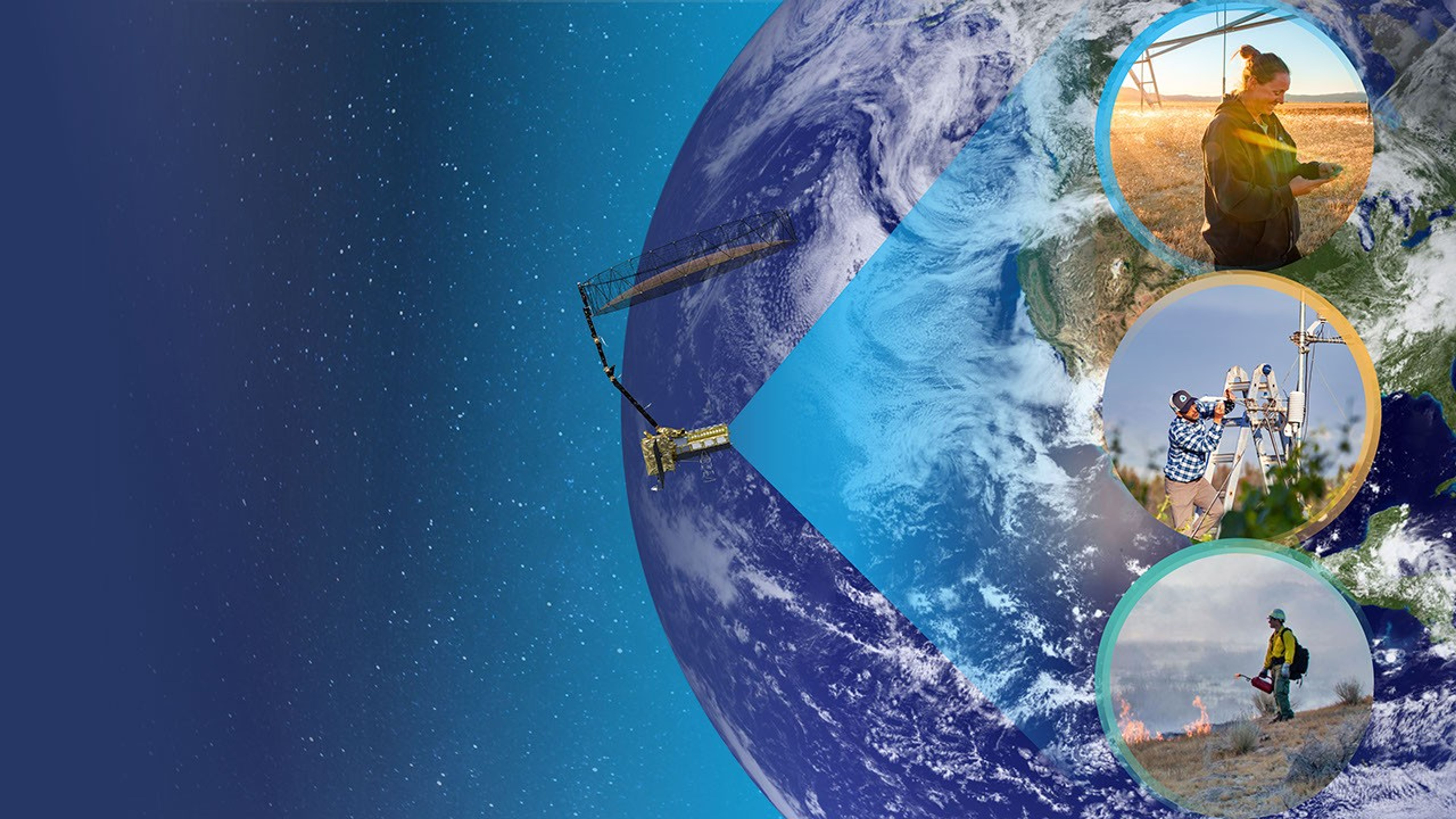
NASA Earth Action accelerates the use of Earth observation data for decision-making. The program provides funding, technical expertise, and partnerships to empower decision-makers to apply Earth data to challenges related to agriculture, disasters, energy and infrastructure, water, wildfires, ecological conservation, health and air quality, and more.
About NASA Earth Action
NASA Earth Action delivers returns on America’s investment in space and Earth science with invaluable data and tools that make communities more resilient, foster economic growth, and ensure national security. Drawing on U.S. superiority in space technology and artificial intelligence, NASA Earth Action empowers local, state, and federal leaders to make more efficient and effective decisions. NASA Earth observations provide benefits – every day – to people in the United States and around the world. Examples of those benefits include:
- Protecting lives and property
- Improving farmers’ livelihoods
- Supporting small businesses
- Powering private sector solutions
- Preventing disease
- Managing natural capital
- Improving weather forecasting
How NASA Earth Action Delivers Impact
Explore these stories to understand how NASA Earth Action accelerates the use of Earth observation data to deliver tangible impacts on decision-making.



Collaborate with NASA Earth Action

Earth Action at a Glance
How Earth Action Works
Drawing on more than 50 years of experience observing the Earth, NASA Earth Action provides technical support, funding, training, and workforce development to expand the application of Earth observations. This includes support to teams that use NASA Earth data to build solutions, including tools, datasets, models, visualizations, and other products. These solutions provide new, improved information for more accurate, timely, and effective decisions.
NASA Earth Action teams work with decision-makers representing:
◆Private sector, both small and large businesses
◆States and territories
◆Municipalities
◆Federally-recognized Tribes
◆Nonprofits and community organizations
◆Federal government agencies
Defining Impact
NASA Earth Action seeks to maximize its impact by extending proven solutions to new users, new geographies, and new thematic areas. That impact is defined in three ways:
◆Sustained use of NASA data and tools by decision-makers
◆Meaningful decisions and actions based on the insights those resources provide
◆Tangible benefits resulting from decisions empowered by NASA data
NASA Earth Action ensures that resources invested in NASA technology, missions, research, and data translate into practical, valuable results for society.

Advancing NASA’s Mission
NASA Earth Action helps deliver on NASA’s Earth Science to Action Strategy, embracing three approaches:
User-centered Science
Focuses on partner needs and engages them in concept, development, and implementation. This ensures that applications make a measurable impact.
Scaling
Maximizes impact by leveraging past investments and proven solutions to new users, new geographies, and new thematic areas.
Building Bridges
Connects users with NASA technology, missions, research, and data. This occurs internally across the Earth Science Division and externally through collaboration, matchmaking, and multidisciplinary work. The exchanges create a virtuous cycle in which the use of NASA data informs future research needs.











Services





NASA Earth Action Leadership
 |  |
| Thomas P. Wagner | Emily Sylak-Glassman |
| Associate Director of the Earth Action element of NASA’s Earth Science Division Science Mission Directorate | Deputy Associate Director of the Earth Action element of NASA’s Earth Science Division Science Mission Directorate |