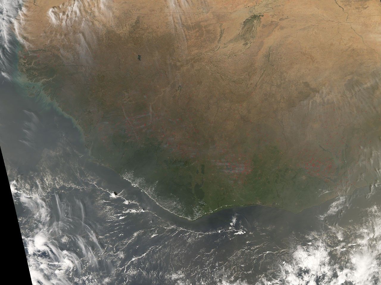
Hundreds of fires (red dots) were burning in West Africa on January 22, 2008, when the Moderate Resolution Imaging Spectroradiometer (MODIS) on NASA’s Aqua satellite captured this image. The widespread nature of the fires and the time of year (dry season) indicate that these are probably fires that people have set for agricultural purposes. Though not necessarily immediately hazardous, such large-scale burning can have a strong impact on weather, climate, human health, and natural resources. The skies appear very hazy over the Atlantic Ocean (bottom of scene); this haze may be a combination of blowing dust and smoke.
References & Resources
NASA image created by Jesse Allen, using data provided courtesy of the MODIS Rapid Response team. Caption by Rebecca Lindsey.