


New images of Arizona’s Rodeo-Chediski wildfire, which according to news reportsis the largest in the state’s history, have been acquired by NASA’s MODIS Airborne Simulatorflying aboard the space agency’s ER-2 aircraft. The images show the extent ofthe burn area—now more than 450,000 acres—and pinpoint areas of active burningas of the morning of July 1. The images below include both true-color images andfalse-color images designed to highlight the burned areas. They were acquiredduring a transit of the ER-2 aircraft from NASA’s Dryden Flight Research Center,Edwards, Calif. to Key West Naval Air Facility, Fla. in preparation for anupcoming field experiment. The newly acquired wildfire images will be used tovalidate rapid response wildfire maps produced by NASA’s Moderate ResolutionImaging Spectroradiometer (MODIS) instrument aboard the Terra spacecraft. Theywill also be provided to the U.S. Forest Service for potential use in post-firedamage assessments.
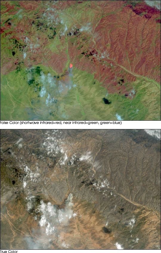
The false-color image (top) shows the southern portion of the fire, and reveals that not all the terrain within the fire’s perimeter burned to the same degree. Burned areas are red and remaining vegetation is green. In the center of the image, the bright orange pixels are actively burning fire, and the smoke drifting southward from the blaze appears blue. Burned area at the top of the true-color image (bottom) appears charcoal, and a smoke plume drifting southwest from the center of the image reveals the location of actively burning fire.
See more images at MODIS Airborne Simulator Images of theRodeo/Chediski Fire, Arizona and the Earth Observatory’s Natural Hazards section.
References & Resources
Images courtesy of MODIS Airborne Simulator ER-2 team, NASA GSFC & NASA Dryden Flight Research Center
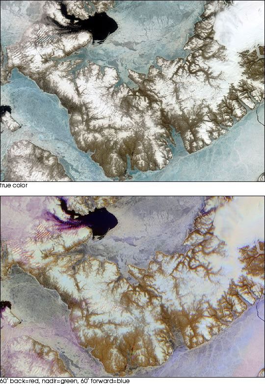
None


