Suggested Searches

1 min read

Aleutian Clouds

Topics:
 

These cloud formations were seen over the western Aleutian Islands. Their colorvariations are probably due to differences in temperature and in the size ofwater droplets that make up the clouds.

This image was acquired by Landsat 7’s Enhanced Thematic Mapper plus (ETM+)sensor on June 16, 2000.

References & Resources

Image provided by the USGS EROS Data Center Satellite Systems Branch

You may also be interested in:

Stay up-to-date with the latest content from NASA as we explore the universe and discover more about our home planet.

A Full Moon Checkup
3 min read

Once a month during the full Moon, Landsat 9 turns from Earth to image the lunar surface, helping keep the…

Article
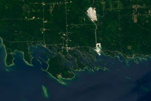
Michigan’s Les Cheneaux Islands
3 min read

These glacial landforms jut into northern Lake Huron, surrounded by sheltered channels and coves frequented by fish and small watercraft.

Article
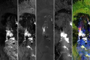
A Bright Spot at Mount Michael
3 min read

With austral winter nearing its end, clouds cleared for a satellite view of volcanic activity in the remote South Atlantic.

Article