In 2017, NASA's Operation IceBridge flew for the ninth year over Antarctica to map the ice. This video features photographs of land ice and sea ice, shot with a handheld camera and with the Digital Mapping System (DMS), during IceBridge flights in November 2017.
1 min read
Antarctica From Above
Share
Details
Last Updated
Feb 10, 2026
Related Terms
You might also be interested in

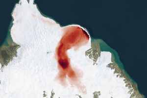
Stonebreen’s Beating Heart
3 min read
The glacier in southeastern Svalbard pulses with the changing seasons, speeding up and slowing its flow toward the sea.
Article

Tracking Glacial Change with Landsat and Radar
5 min read
NASA Scientist Alex Gardner highlights how Landsat made his research into the dynamics of glacial flow possible.
Article

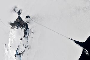
Cracking Antarctic Sea Ice
4 min read
Icebreakers play a critical role in delivering supplies to America's largest research base in Antarctica.
Article


