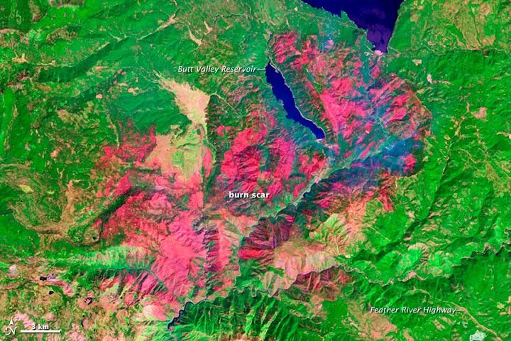
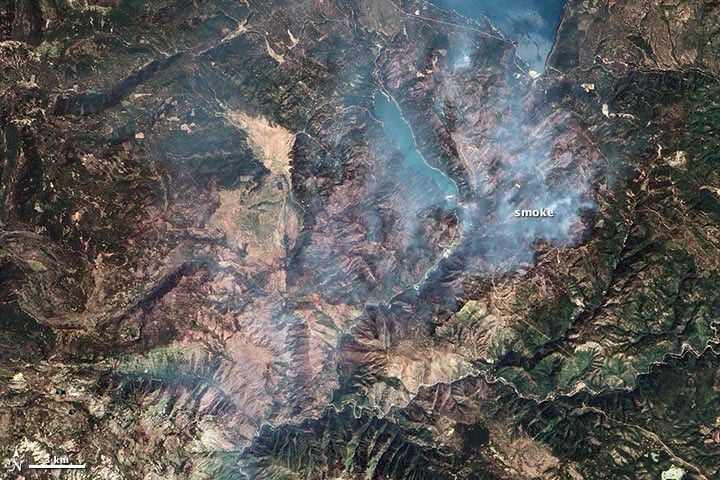
The Chips fire was first reported in Plumas National Forest on July 29, 2012, burning about 20 miles (32 kilometers) west of Quincy, California. By September 5, it had charred more than 75,000 acres (300 square kilometers). Though parts of the fire were still smoldering on that date, fire officials considered the blaze 100 percent contained.
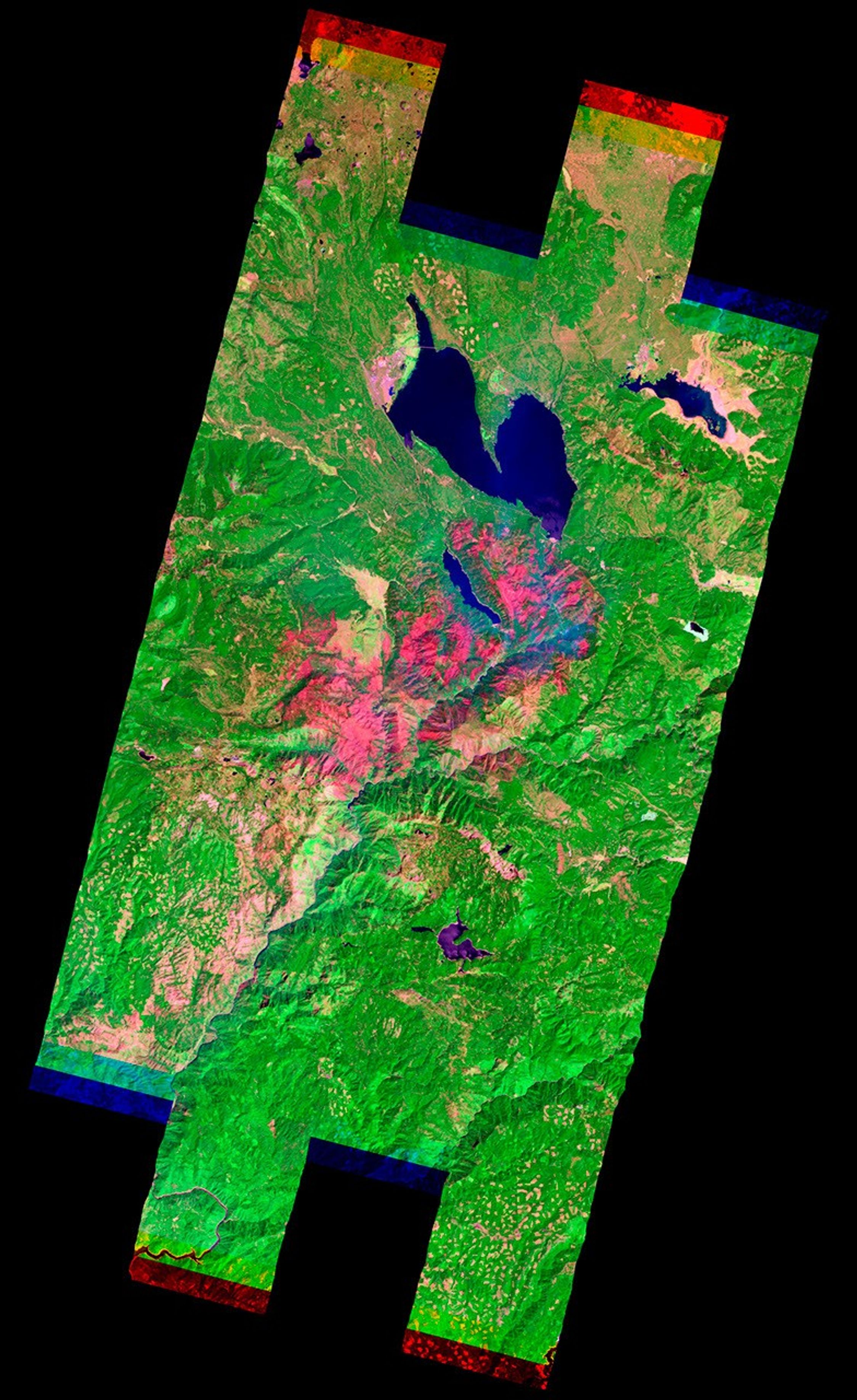
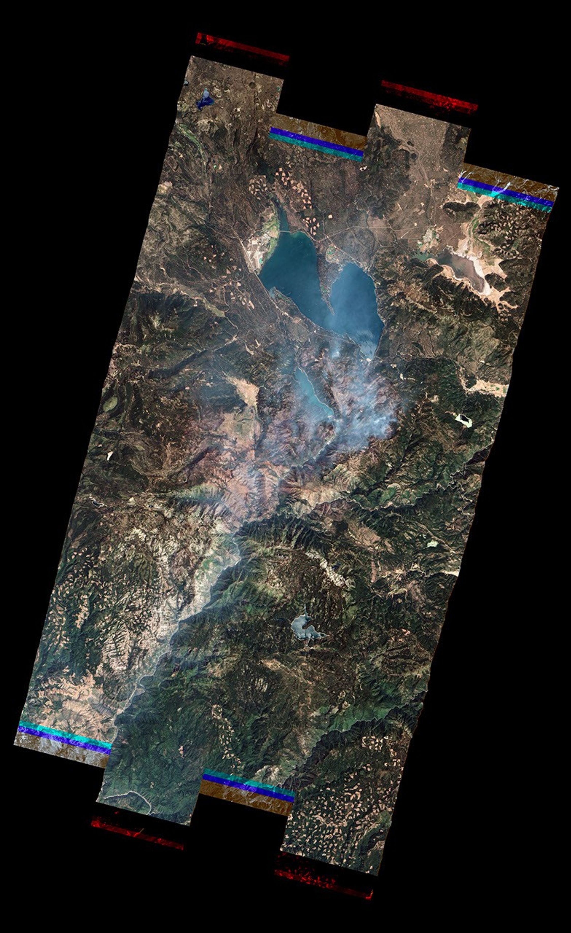
The Advanced Land Imager (ALI) on the Earth Observing-1 (EO-1) satellite acquired these images of the affected area on September 1, 2012. Burned vegetation appears red in the false-color image (top); unburned areas are green. In the natural color image (bottom), thin smoke drifts near the eastern edge of the burn scar.
Wildfires had burned a total of 7,944,917 acres in the United States by September 5, 2012. That’s the most to burn by that date during any year in the past decade. The 2012 wildfire season in the United States will likely break the record for the most acres burned in a single year since 1960, the year that the National Interagency Fire Center began to track this statistic. In 2006—the year that currently holds the record—9,873,745 acres burned.
Further Reading
- CBS Sacramento. (2012, August 29) Baby Bobcat Rescued From Ashes of Chips Fire. Accessed September 5, 2012.
- Lassen County Times. (2012, August 31) Chips Fire 100 Percent Contained. Accessed September 5, 2012.
- National Interagency Fire Center. (2012, September 4) Year-to-Date Statistics. Accessed September 5, 2012.
- National Interagency Fire Center. (2012, September 4) Total Wildland Fires and Acres (1960-2011). Accessed September 5, 2012.
References & Resources
- Inciweb. (n.d.). Chips Fire. Accessed September 5, 2012.
NASA Earth Observatory image created by Jesse Allen and Robert Simmon, using EO-1 ALI data provided courtesy of the NASA EO-1 team. Caption by Adam Voiland.