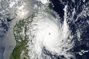
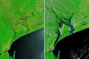
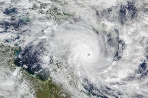
The Sea-viewing Wide Field-of-view Sensor (SeaWiFS, flying aboard OrbView-2) saw Tropical Cyclone Dera shortly after it formed today (March 9, 2001) over the Mozambique Channel. Mozambique is visible to the left of the storm, and the island of Madagascar is partially visible on the right side of the storm. In the high-resolution image you can see the Zambeze River in Mozambique, which has been flooded in recent weeks. The signature brownish plumes of sediment discharge from the Zambeze into the channel are visible at several places along Mozambique's coastline.
According to the U.S. Joint Typhoon Warning Center, Cyclone Dera now has sustained winds of 55 knots (about 63 mph or 102 km per hour), with gusts of up to 70 knots (81 mph or 130 km per hour). The storm is moving in a south-southeasterly direction at about 14 knots (16 mph or 26 km per hour). The storm is predicted to continue intensifying over the next 24 hours and should continue heading in a southerly direction.
References & Resources
Provided by the SeaWiFS Project, NASA/Goddard Space Flight Center, and ORBIMAGE

