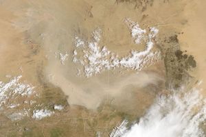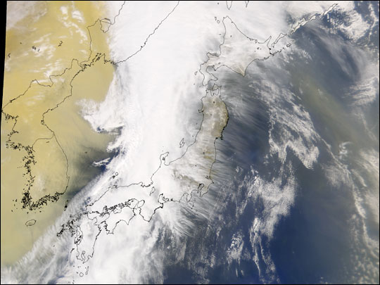
The dust cloud over eastern Asia was so thick on March 21, 2002, that the Korean Peninsula completely disappeared from view in this Sea-viewing Wide Field-of-view Sensor (SeaWiFS) image of the region. Parts of South Korea report that visibility at the surface is less than 50 m (165 feet). Airports throughout the region canceled flights due to the poor visibility.
Eyewitnesses in China report that the dust was so thick in Beijing at times that visibility was limited to 100 m (330 feet), while in parts of the Gansu Province visibility was reported at less than 10 m (33 feet). Chinese officials say this is the worst dust storm to hit in more than 10 years.
Dust from an earlier event still colors the air to the east of Japan. (The island of Honshuis just peeking out from under the cloud coverin these images.)
References & Resources
Image courtesy the SeaWiFS Project, NASA/Goddard Space Flight Center, and ORBIMAGE