November 9, 2012
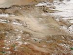
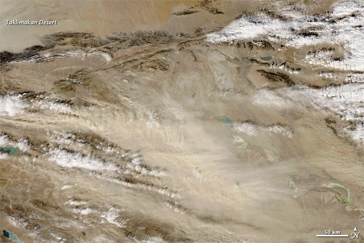
Dust and clouds filled the sky over western China on November 9, 2012. The Moderate Resolution Imaging Spectroradiometer (MODIS) on NASA’s Aqua satellite captured this natural-color image the same day. This dust storm occurred just off the eastern margin of the Taklimakan Desert, and had been blowing out of the area for days prior to the MODIS acquisition.
The Taklimakan is China’s biggest, warmest, and driest desert. Shifting sand dunes cover about 85 percent of the desert floor, some of them reaching a height of 200 meters (650 feet). Winds can easily loft the sand into the air, carrying it eastward over China.
References & Resources
- World Wildlife Fund, McGinley, M. (2007) Taklamakan Desert. Encyclopedia of Earth. Accessed November 9, 2012.
NASA image courtesy Jeff Schmaltz, LANCE MODIS Rapid Response Team at NASA GSFC. Caption by Michon Scott.