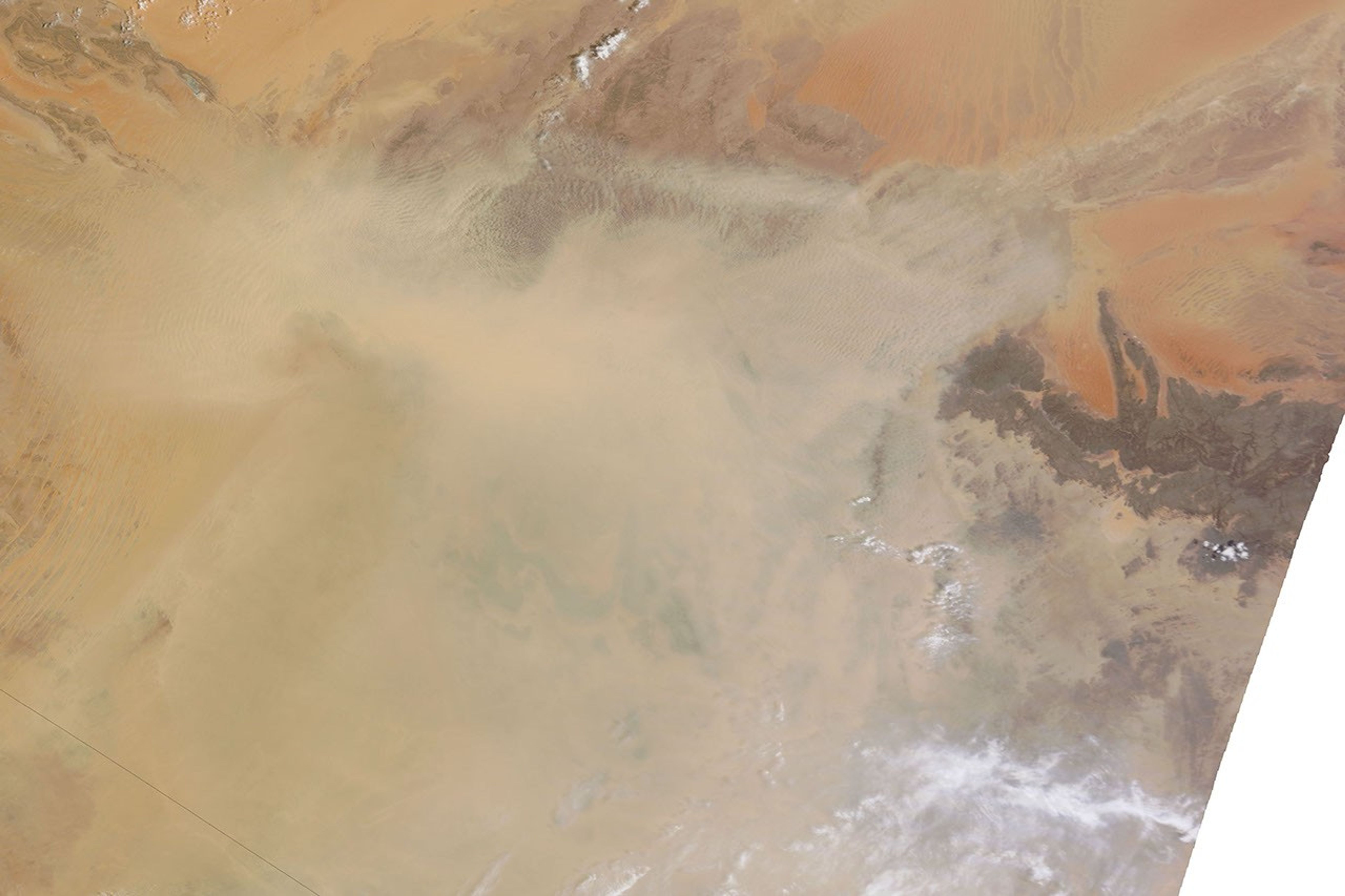
A massive dust storm blew over Algeria in mid-July 2011, just days after another storm in the same area. The Moderate Resolution Imaging Spectroradiometer (MODIS) on NASA’s Terra satellite captured a natural-color image on July 15, 2011.
The top scene shows a wide-area view. In the east lies the relatively dark terrain of Tassili n’Ajjer, a national park. Dust partially obscures this area, and stretches hundreds of kilometers to the west and south.
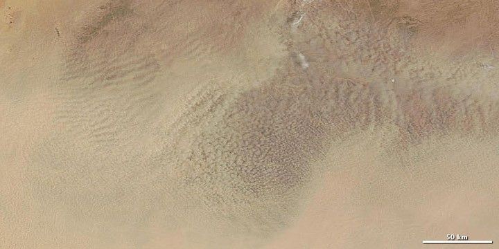
The rectangle outlined in white in the top image shows the area covered in the detailed view below. As the detailed view shows, the dust takes on a complex pattern on its upper surface: ripples interspersed with a popcorn texture.
Sand seas, including Erg Chech, sprawl across the borders of Algeria, Mauritania, and Mali. These sandy deserts provide ample material for dust storms. Meanwhile, hot weather destabilizes air near the ground, allowing even light winds to loft dust particles into the air.
References & Resources
- References
- University Corporation for Atmospheric Research. Forecasting Dust Storms. (Registration required) Accessed July 15, 2011.
NASA image courtesy MODIS Rapid Response Team, Goddard Space Flight Center. Caption by Michon Scott.