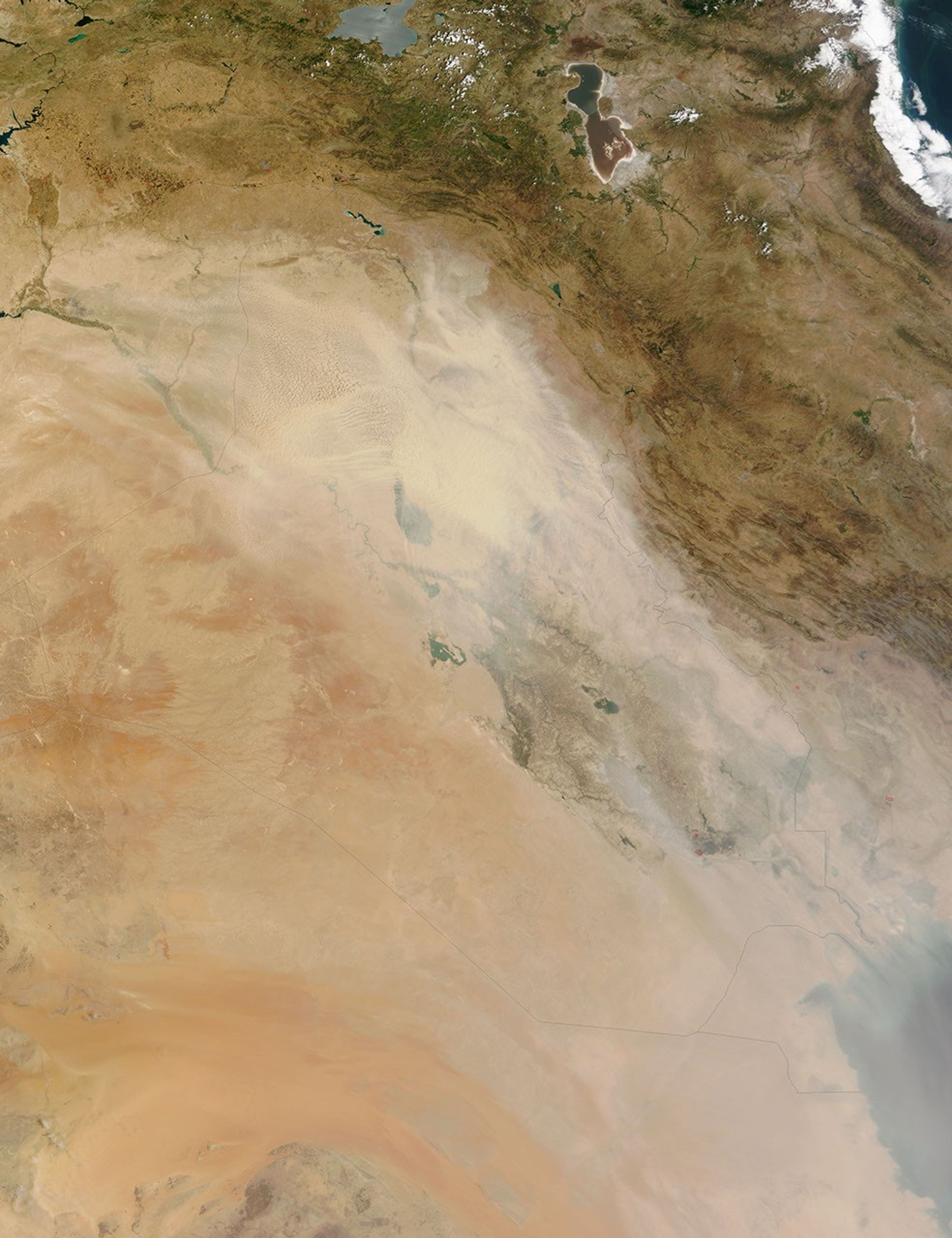


























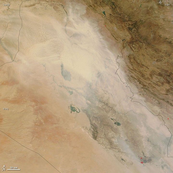
Dust plumes hovered over most of Iraq on July 3, 2009, as the Moderate Resolution Imaging Spectroradiometer (MODIS) on NASA’s Terra satellite passed overhead. This true-color image shows thick dust between Syria and the Iraq-Iran border. Over northwestern Iraq, the dust takes on a strangely textured appearance: a combination of small bumps and curving waves. Air currents likely sculpted the upper layer of the massive dust cloud.
By the time MODIS acquired this image, the dust storm had persisted over Iraq for several days, according to a report from Reuters. Residents of Baghdad described this storm as the worst in living memory, and hundreds crowded into emergency rooms seeking relief from breathing difficulties. The storm, which started around June 27, 2009, also disrupted air traffic.
The fine sediments of the Tigris and Euphrates floodplains provide ample material for regular dust storms. The dust-prone situation was worse than normal in the summer of 2009 as a combination of years-long drought and upstream dams parched the region.
References & Resources
- Mohammed, M. (2009, July 5). Sandstorm blankets Iraq, sends hundreds to hospital. Reuters Website. Accessed July 6, 2009.
NASA image by Jeff Schmaltz, MODIS Rapid Response Team, Goddard Space Flight Center. Caption by Michon Scott.