















October 16, 2002
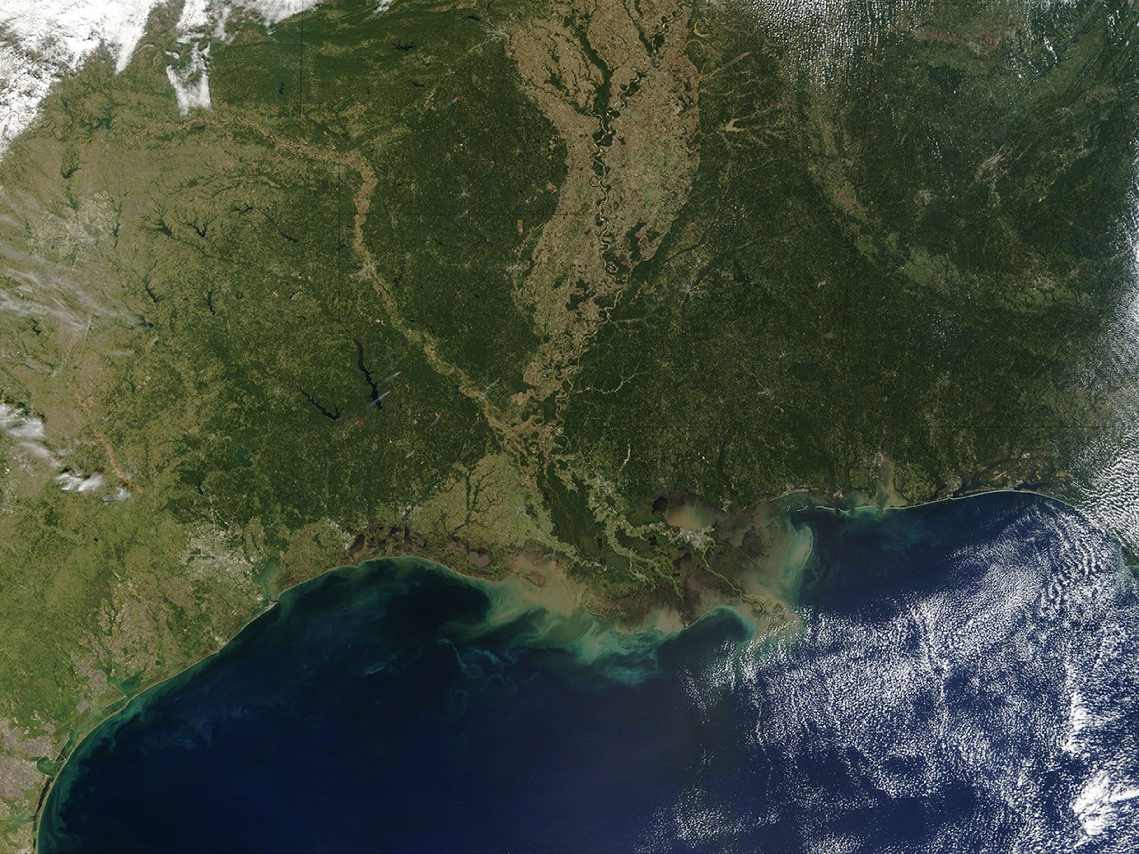
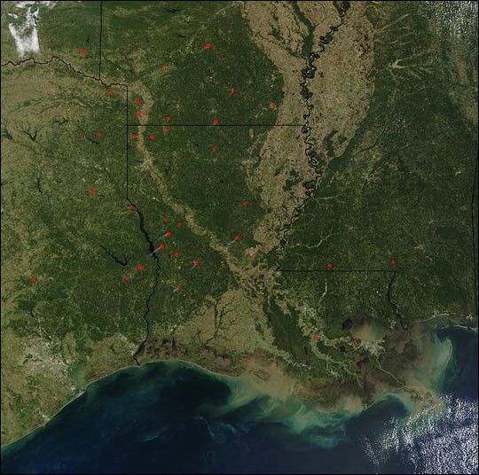
On Wednesday, October 16, 2002, the Moderate Resolution Imaging Spectroradiometer on the Terra satellite captured this true-color image of the southern United States. MODIS detected several fires (red dots) scattered across the region. States shown include Oklahoma and Texas (left column); Arkansas and Louisiana (center column); and Mississippi (right). In Louisiana a few small smoke plumes can be seen drifting southwest. East of image center lies the broad Mississippi River alluvial plain, which appears tan. The coastal waters of the Mississippi Delta are brown with sediment flowing into the Gulf of Mexico. Some sediment may also be churned up by tidal activity.
References & Resources
Image courtesy Jacques Descloitres, MODIS Rapid Response Team at NASA GSFC