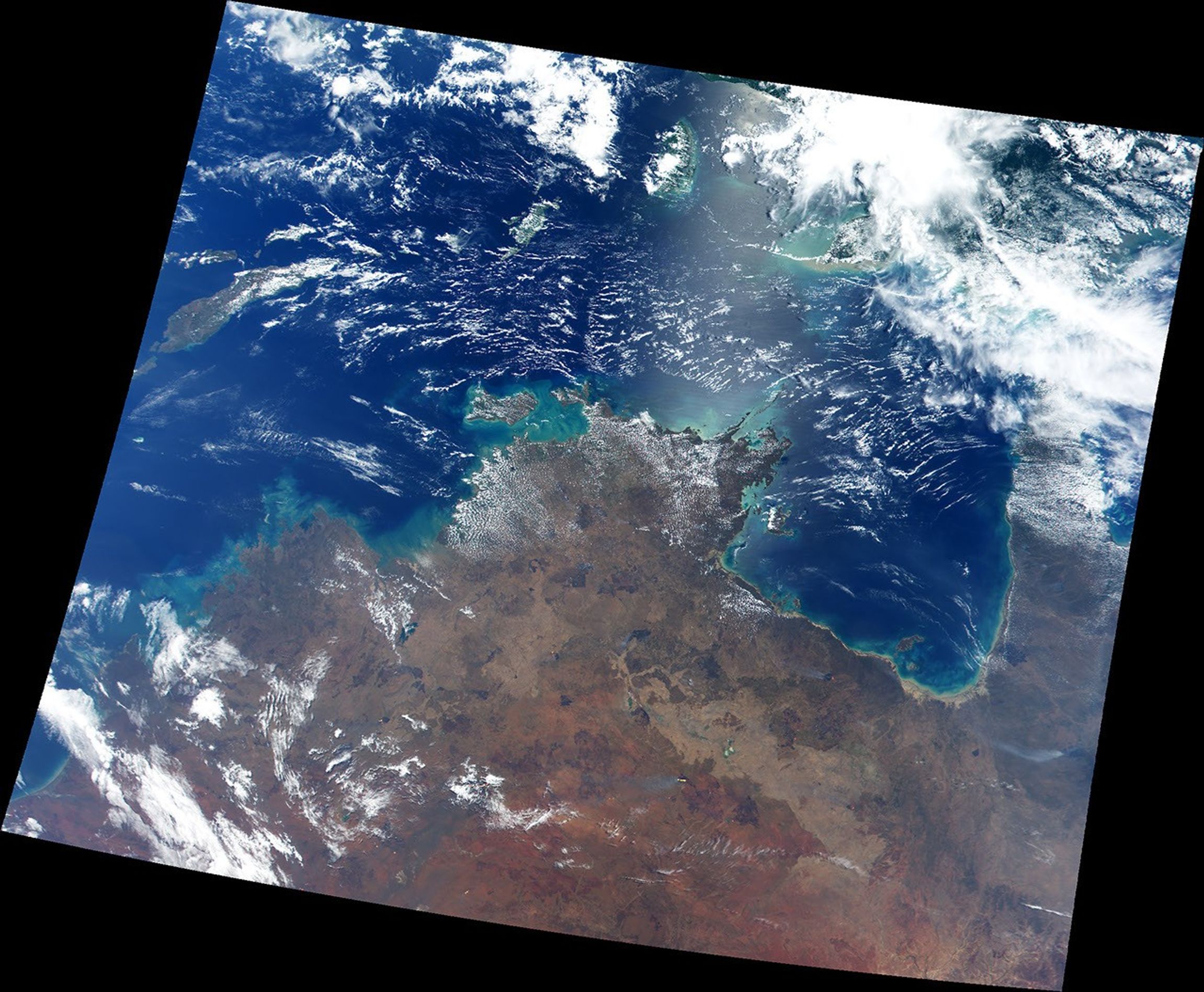
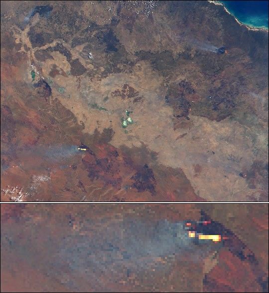
This true-color image was taken over northern Australia on October 2, 2000, by the Moderate-resolution Imaging Spectroradiometer (MODIS), flying aboard NASA’s Terra spacecraft. There are roughly a dozenwildfires visible in the scene, which spans from Western Australia(left), across the Northern Territory, and into Queensland (right).
In this image, clouds appear bright white and smoke plume appear darkerand greyish. The pixels containing the wildfires are colored red (hot)and yellow (hotter). There are quite a few large burn scars fromprevious wildfires, which appear as black splotches across thelandscape.
The large bay along northern shore is the Gulf of Carpentaria (visiblein the full size image), which isroughly 400 miles (about 640 km) wide.
References & Resources
Image by Brian Montgomery and Robert Simmon; Data courtesy MODIS Science Team, NASA GSFC