Suggested Searches

1 min read

Fires in the Yucatan

Instruments:
Topics:
Fires in the Yucatan
April 25, 2017

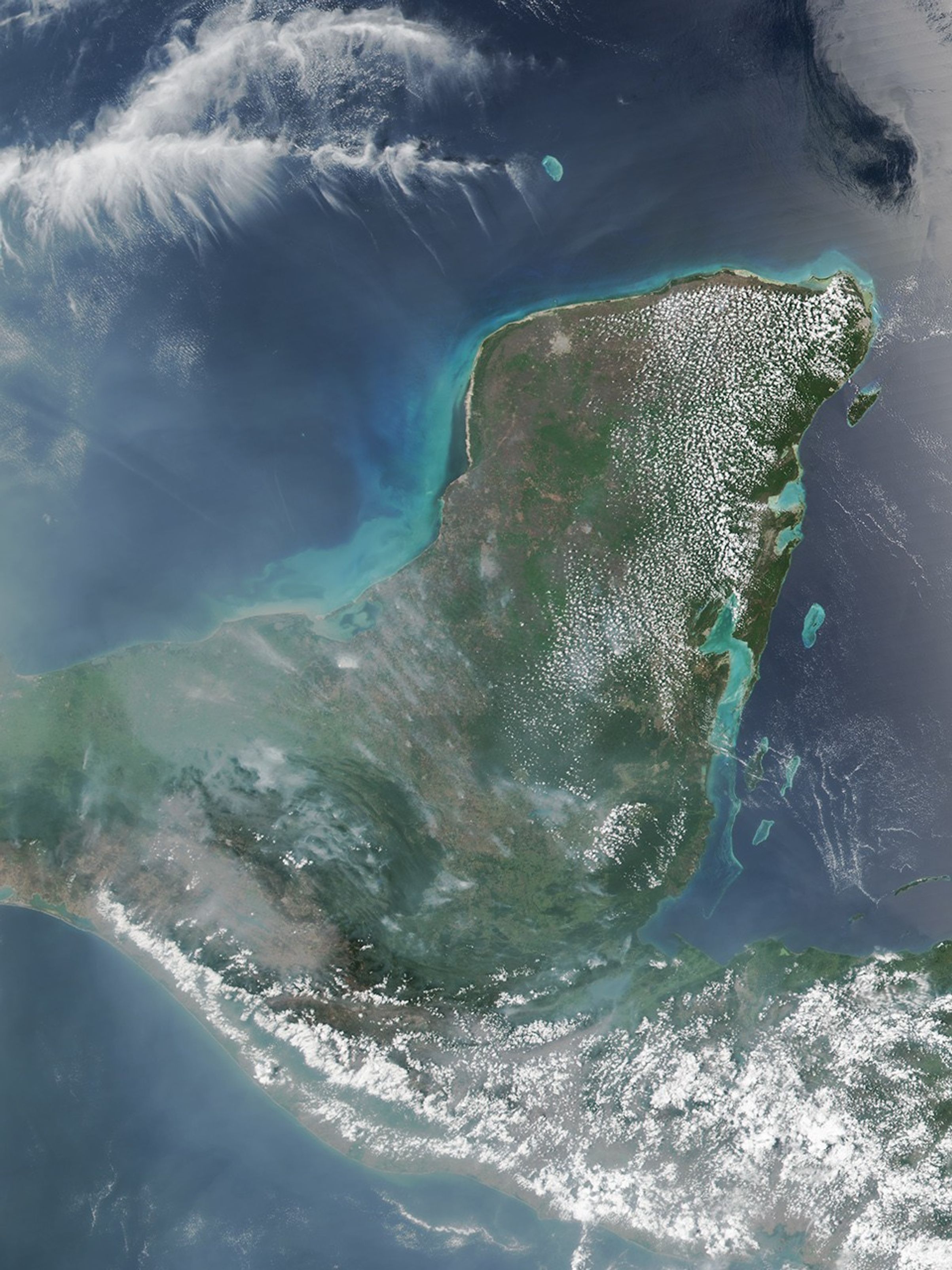
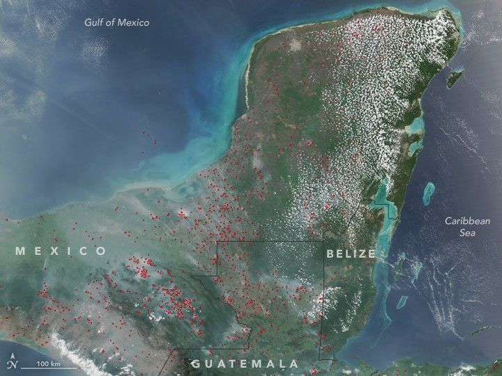
On April 25, 2017, the Visible Infrared Imaging Radiometer Suite (VIIRS) on the Suomi NPP satellite acquired this natural-color image of widespread fire activity across the Yucatán Peninsula. Each red hot spot is an area where the thermal bands on the instrument detected temperatures higher than normal. For a false-color image of these fires, visit NOAA’s Environmental Visualization Laboratory.

  1. Further Reading

  2. Mongabay (2017, April 17) Guatemala declares state of emergency as rainforest goes up in flames. Accessed May 1, 2017.
  3. NASA (2017, May 1) Fires in Yucatan. Accessed May 1, 2017.

References & Resources

NASA image by Jeff Schmaltz, LANCE/EOSDIS Rapid Response. Caption by Adam Voiland.

You may also be interested in:

Stay up-to-date with the latest content from NASA as we explore the universe and discover more about our home planet.

Fires Erupt in South-Central Chile 
2 min read

Tens of thousands of people fled to safety as blazes spread throughout the country’s Biobío and Ñuble regions.

Article
Fires on the Rise in the Far North
3 min read

Satellite-based maps show northern wildland fires becoming more frequent and widespread as temperatures rise and lightning reaches higher latitudes.

Article
New Timing for Stubble Burning in India
5 min read

Scientists say the seasonal crop fires are burning later in the day than in previous years.

Article