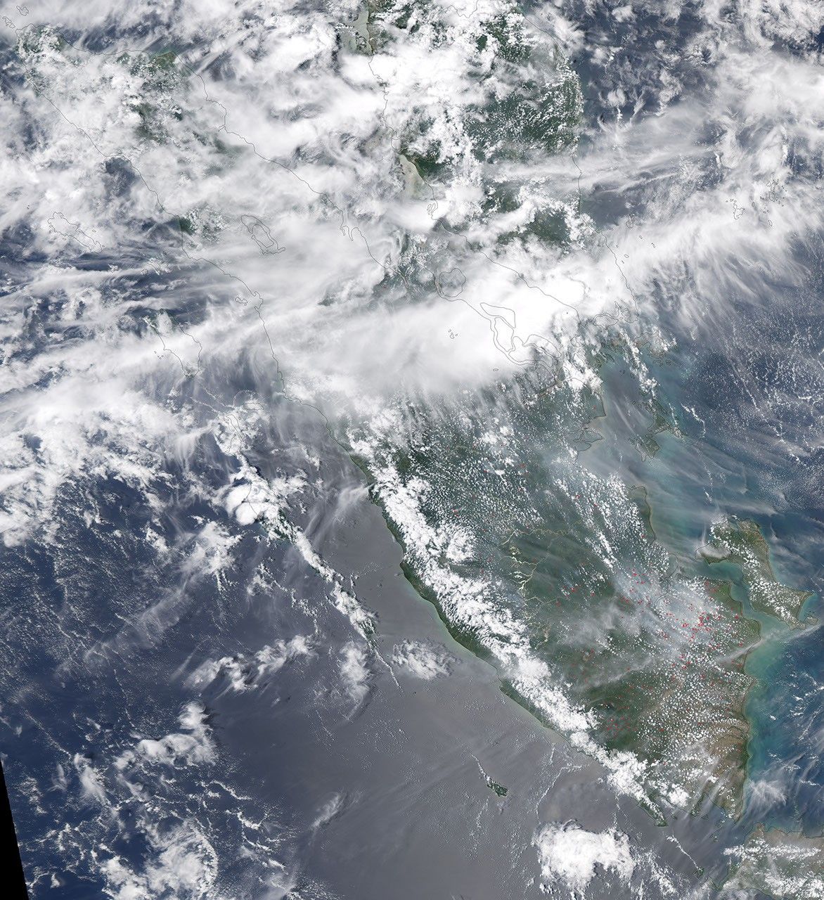
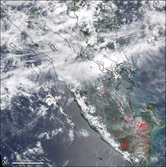
The peat swamp and lowland rainforests of southeastern Sumatra were ablaze on October 7, 2004. This image of the Indonesian island was captured along with active fire detections by the Moderate Resolution Imaging Spectroradiometer (MODIS) on NASAâs Aqua satellite. The fires have been burning on Sumatra off and on for nearly two months, filling the skies with smoke that has interfered with air travel and led to numerous unhealthy-air-quality warnings.
It might seem strange to think of a swampy forest burning, but forest thinning and other land disturbances can allow the sun to penetrate down to the forest floor and dry out the top layers of peat. Combined with logging debris, the dry peat can serve as fuel for intense fires.
References & Resources
NASA image created by Jesse Allen, Earth Observatory, using data obtained from the MODIS Rapid Response team.