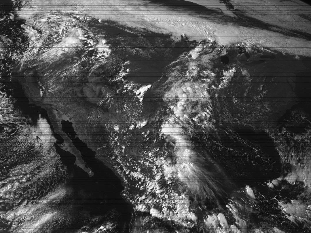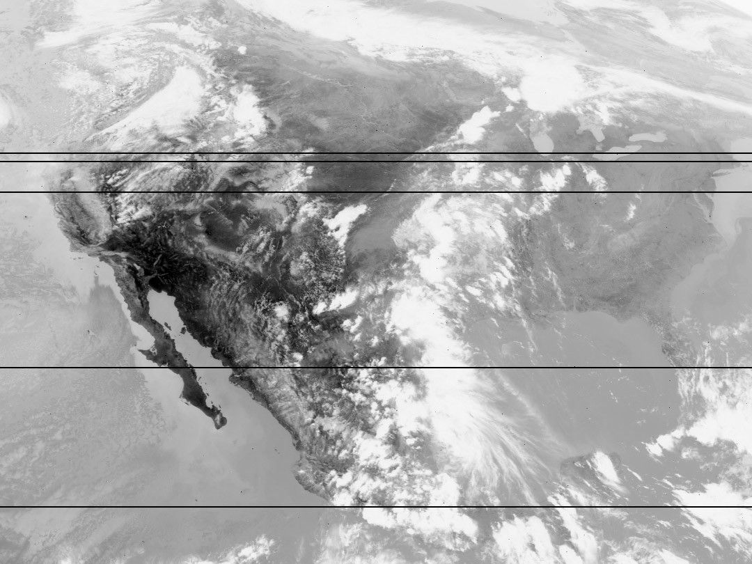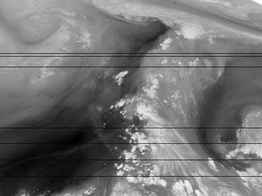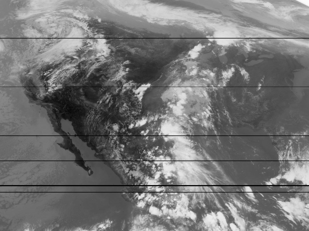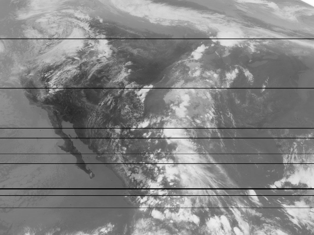
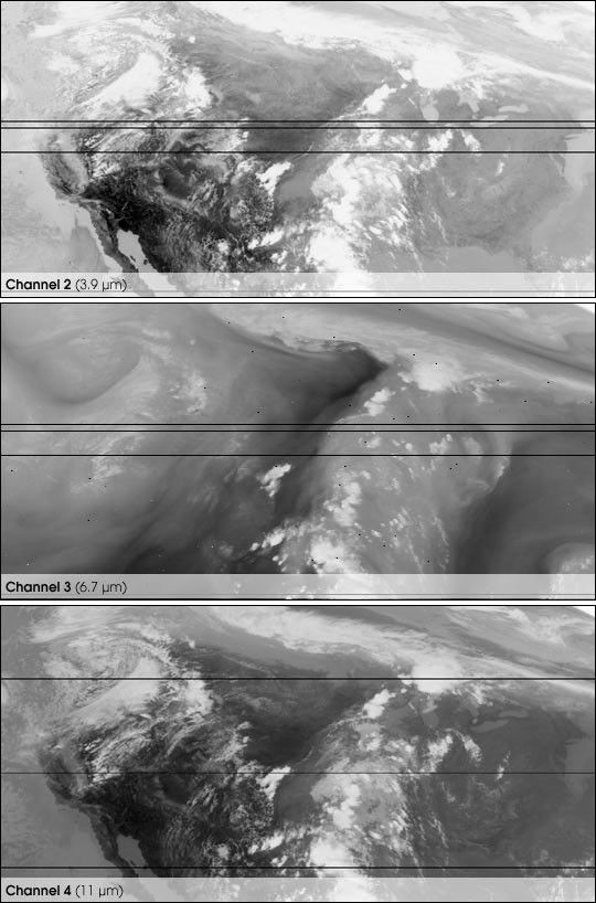
These are the first test infrared images from the recentlylaunched GOES 11 satellite, taken June 10, 2000. TheGOES—Geostationary Operational Environmental Satellite—system observes weather 24 hours a day from two satellites orbitingabove fixed points off the east and west coasts of the U.S.
The GOES imager carries four infrared detectors. The 3.9 micronchannel is used for cloud studies and fire detection. The6.9 micron channel detects water vapor, while the 11 micron channel observesthe temperature of clouds, land, and sea surface. A 12 micron channel(not shown) differentiates between different types of high altitude clouds.
For more information and a library of GOES images, see the GOES Project Science page.
References & Resources
Images courtesy GOES Project Science team, NASA GSFC, data from NOAA-GOES