January 26, 2015
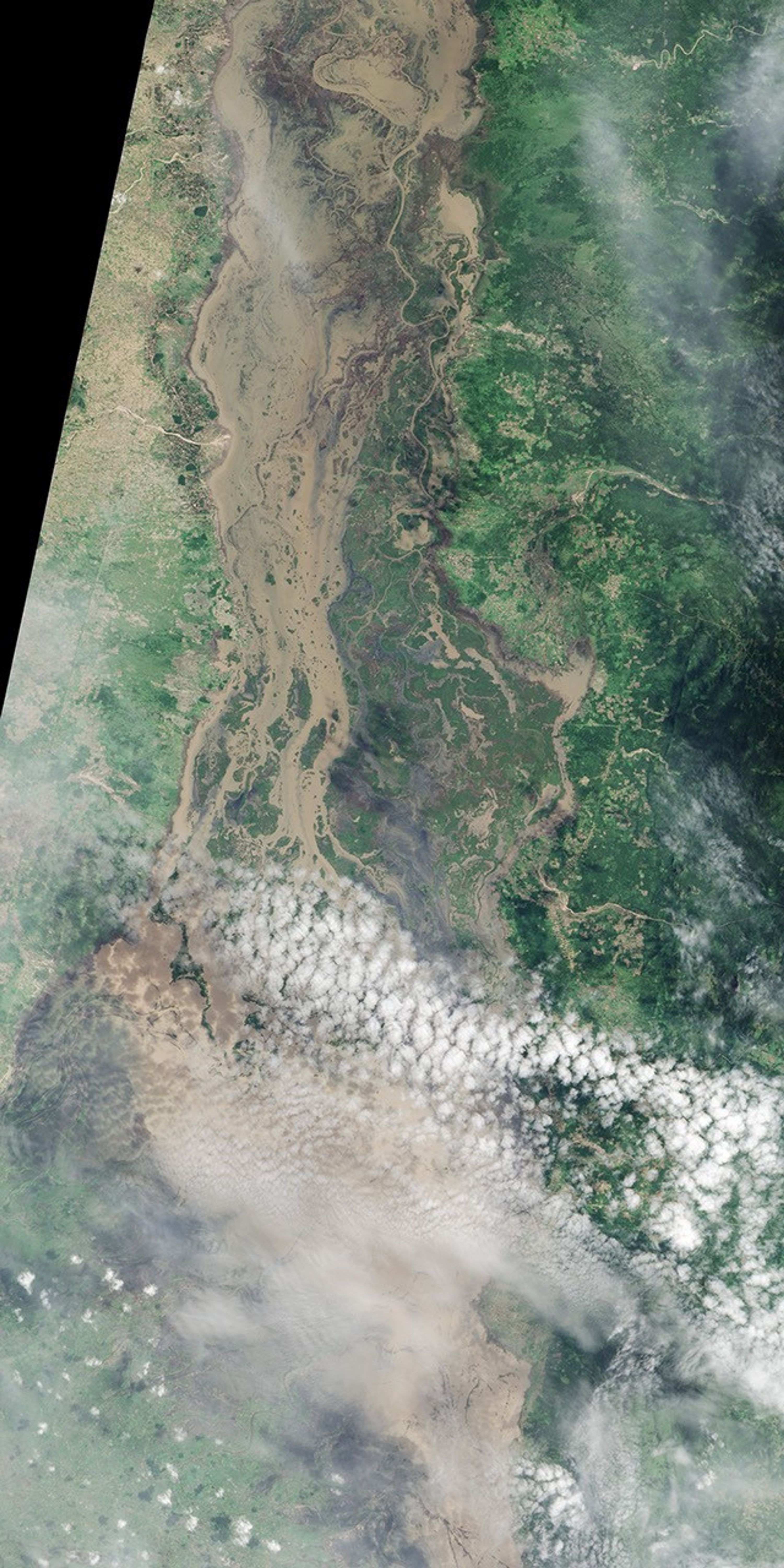
In January 2015, several bouts of heavy rain triggered widespread flooding in southern Africa. The Advanced Land Imager (ALI) on the EO-1 satellite captured this image of flooding along the Shire River in Malawi and Mozambique on January 26, 2015. See this gallery for more satellite imagery of flooding in southern Africa.
References & Resources
- Reliefweb (2015, January 25) Malawi: 2015 Floods Humanitarian Situation (as of 23 January 2015). Accessed January 29, 2015.
- Reliefweb (2015, January 23) Mozambique: Estimated Number of People Affected by Flood, 23 January 2015. Accessed January 29, 2015.
NASA Earth Observatory image by Jesse Allen, using EO-1 ALI data provided courtesy of the NASA EO-1 team. Caption by Adam Voiland.