


- April 30, 2006 (Aqua MODIS; 4.2 MB)
- January 26, 2006 (Terra MODIS; 3.6 MB)
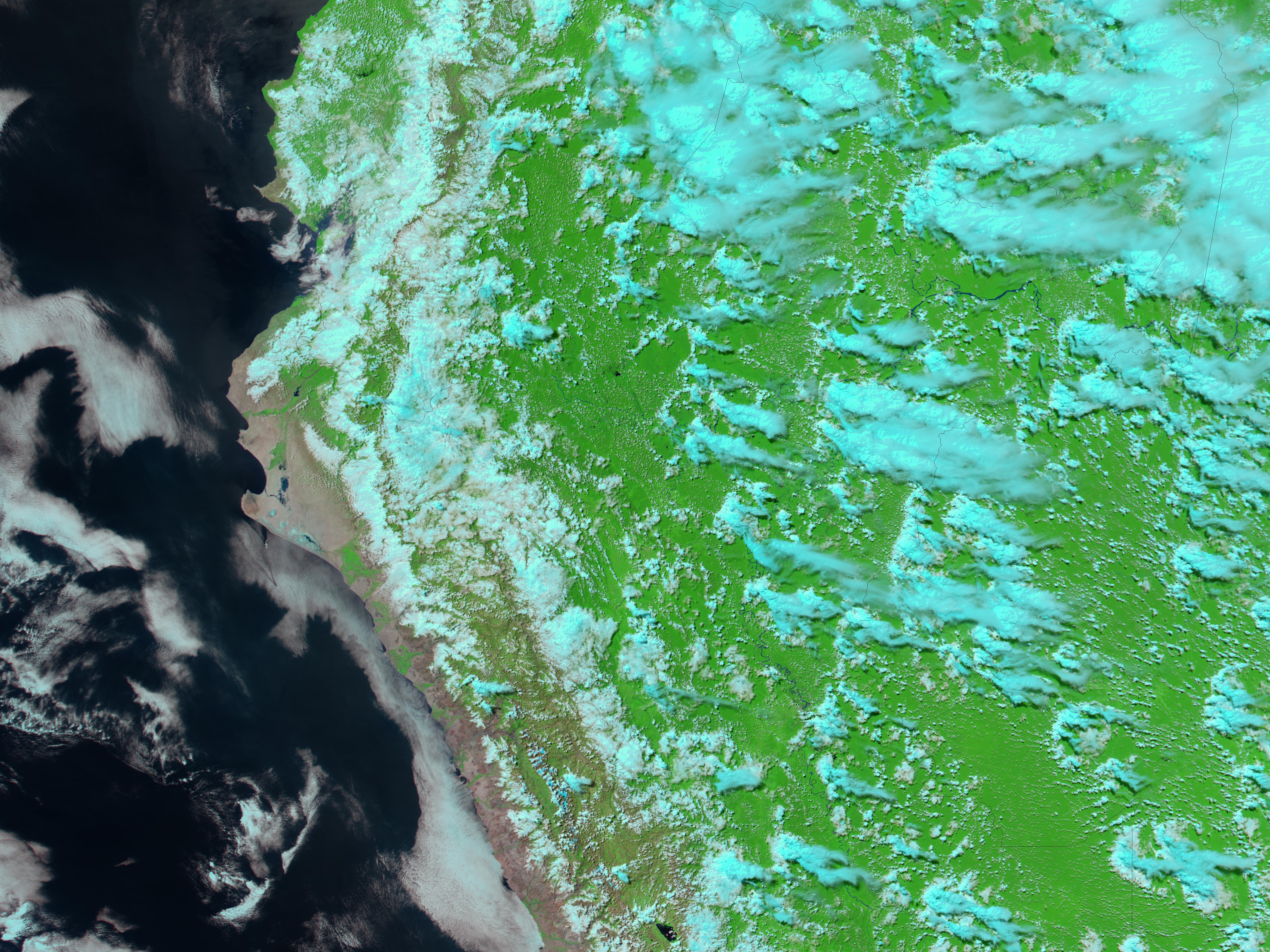
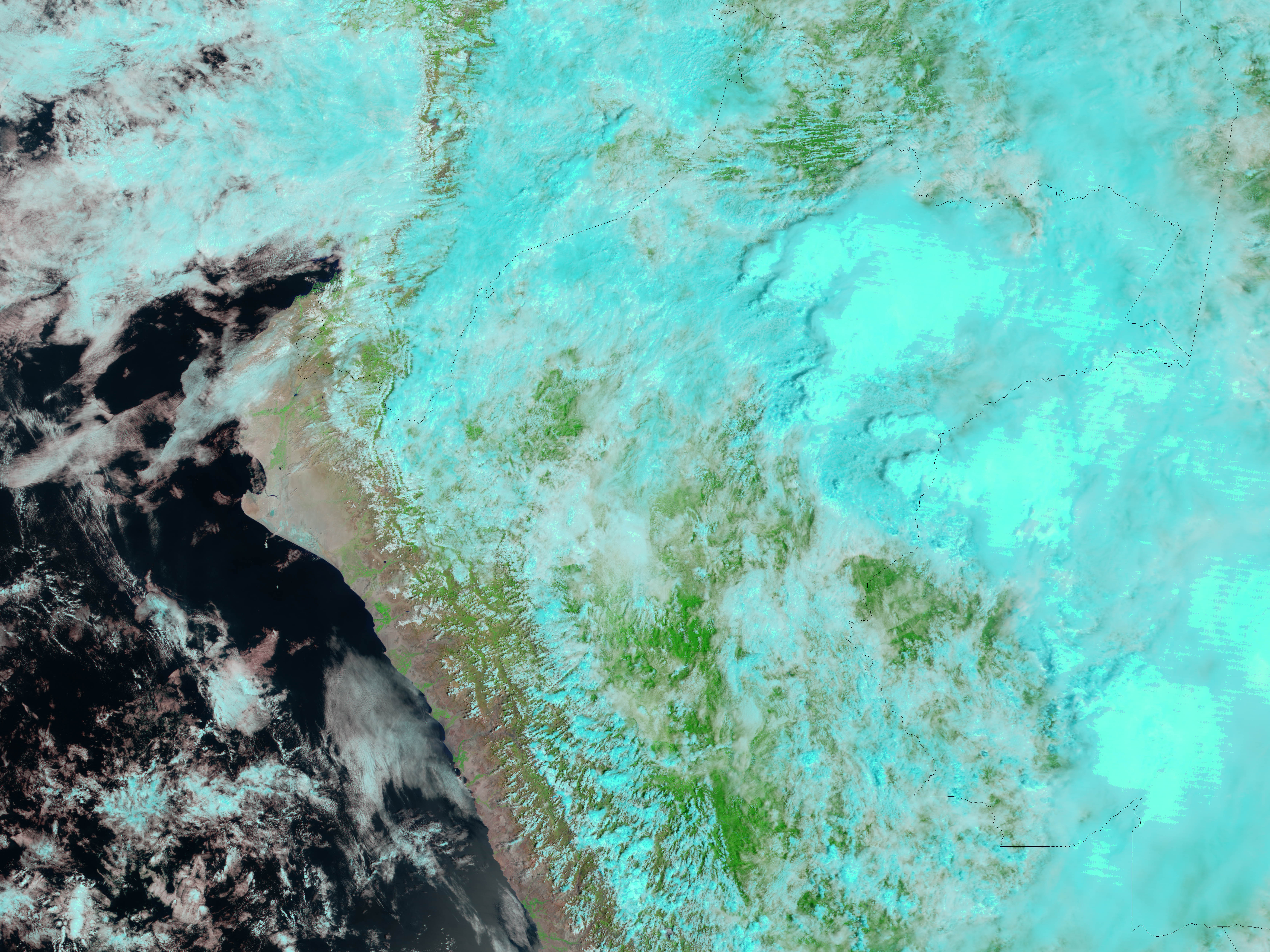
Northern Peru’s rainy season was coming to an end when the Moderate Resolution Imaging Spectroradiometer (MODIS) on NASA’s Aqua satellite captured the top image of the region surrounding the Bay of Sechura. The barren land, pink-tinted tan in January, the middle of the rainy season, was covered with patches of blue water on April 30, 2006. The rainfall also brought a faint brush of green to the desert, with brighter patches of green in irrigated areas along the top and bottom of the image. Clouds are pale blue and white. Though Peru escaped major flood-related damage, both Ecuador and Colombia, immediately north of the region shown here, suffered as floods damaged crops, isolated houses, and triggered landslides, reported the Dartmouth Flood Observatory.
References & Resources
NASA image created by Jesse Allen, Earth Observatory, using data obtained from the Goddard Earth Sciences DAAC.


