


- April 3, 2004 (1.0 Mb JPEG)
- September 24, 2003 (940 Kb JPEG)
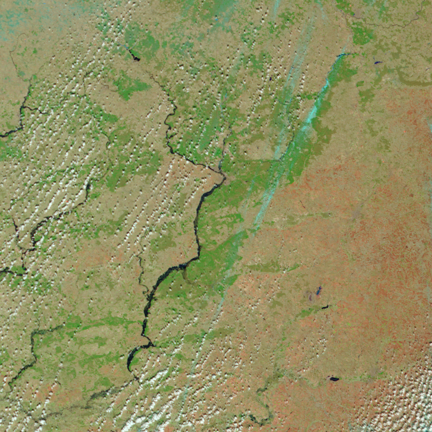
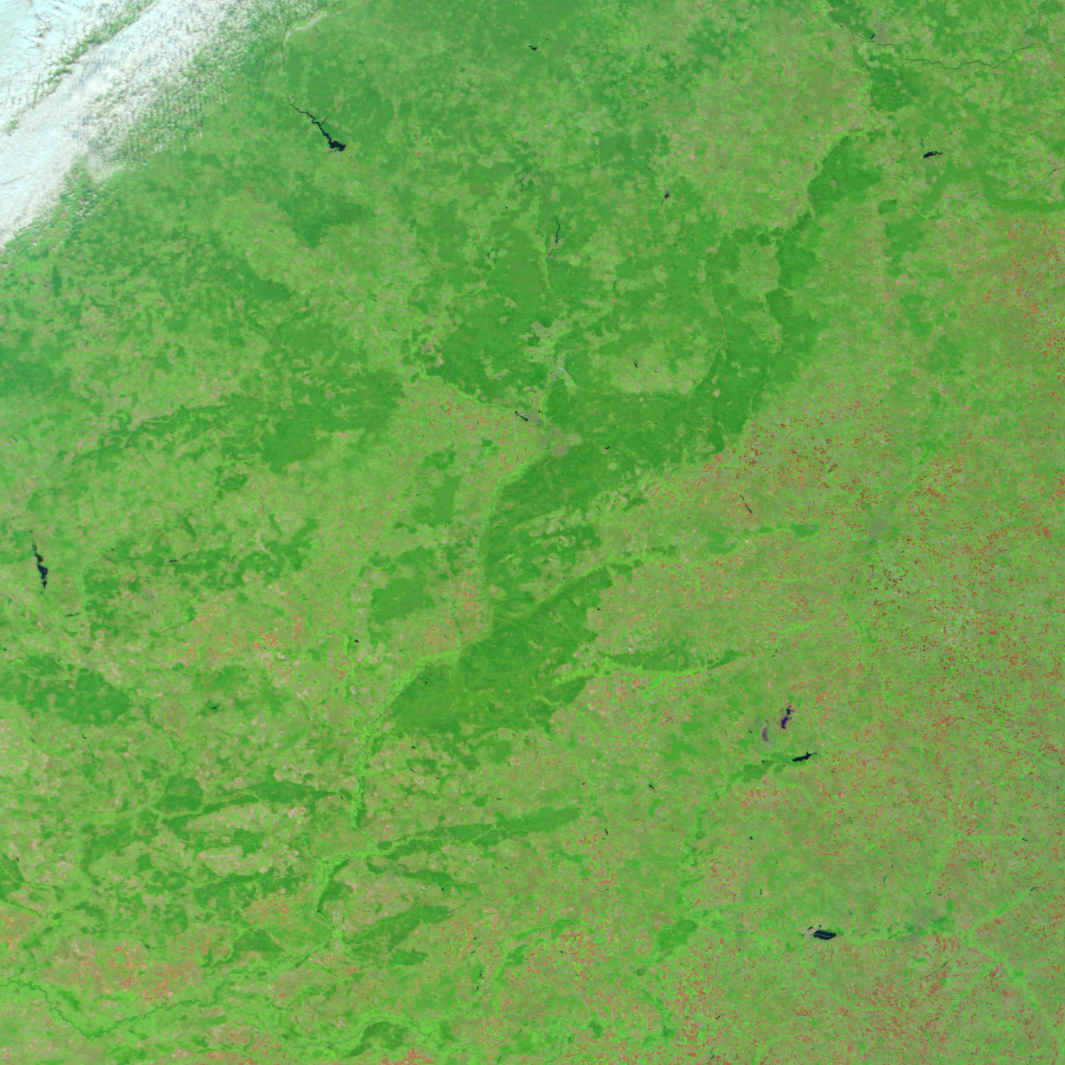
Springtime runoff in the south and ice jams in the north were pushing the rivers in Central Russia past capacity. Around the city of Bryansk in southwestern Russia, the Desna River was brimming over flood height. According to news reports, 332 houses had been flooded in the area, and the situation remained tense. This Moderate Resolution Imaging Spectroradiometer (MODIS) image, acquired by the Terra satellite on April 3, 2004, shows the thick dark blue lines of the Desna River clearly swollen beyond its normal size. The previous fall, before the clouds and snows of winter obscured the river in satellite images, the Desna appeared as a thin green line. These false-color images also contrast the rich green vegetation of early autumn with the tan, bare earth exposed in early spring. Here, clouds are white and light blue.
The high resolution images provided above are at MODIS’ maximum resolution of 250 meters per pixel.
References & Resources
Image courtesy Jesse Allen, based on data from the MODIS Rapid Response Team at NASA GSFC.


