March 19, 2019
Flooding on the Lower Mississippi Continues
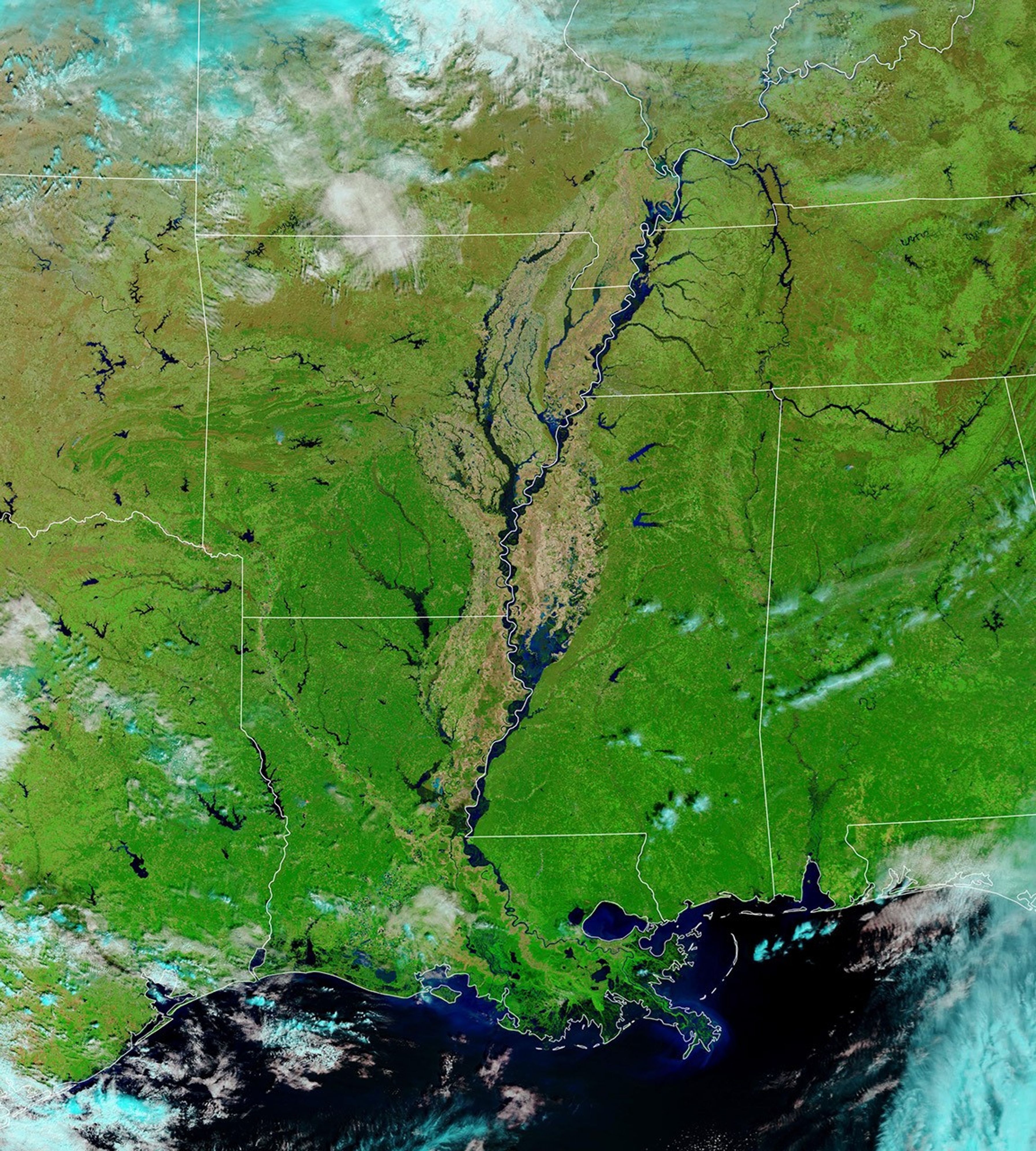
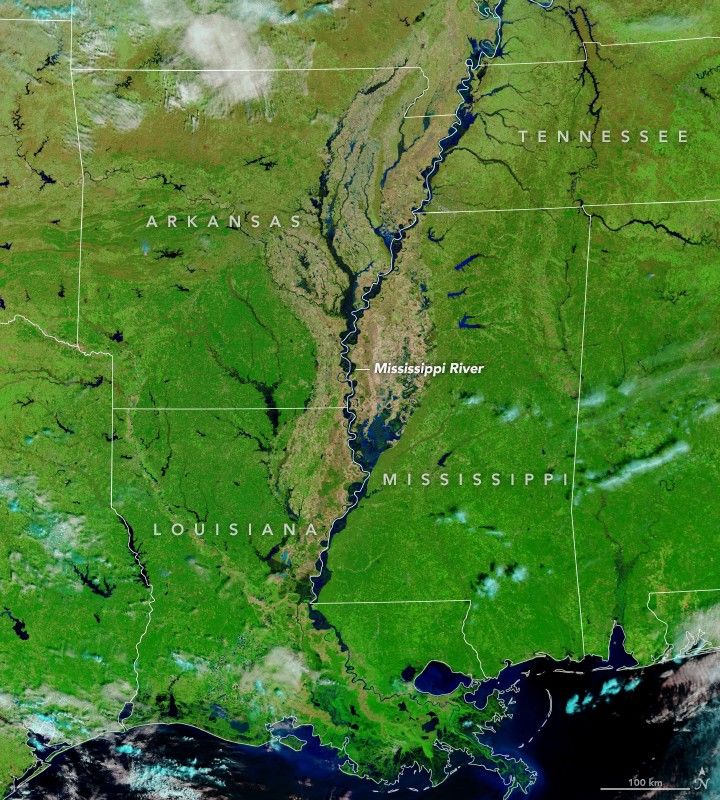
Rivers remained at flood stage along much of the Lower Mississippi River in mid-March 2019. The Moderate Resolution Imaging Spectroradiometer (MODIS) on the Terra satellite acquired this false-color image on March 19, 2019. The second image shows the same area in March 2017, when water levels were lower.
River gauges at Arkansas City, Arkansas; Vicksburg, Mississippi; Natchez, Mississippi; and Baton Rouge, Louisiana, all measured water levels high enough to rank as major floods.Though rains in the coming weeks could change the outlook, forecasters expect water levels at all of these locations to gradually subside toward the end of the month or in April.
Heavy rains in the Mississippi and Ohio River valleys caused the flooding. Water from record-breaking floods in Nebraska and other parts of the Midwest has not yet reached this part of the river. That water will arrive in southern Louisiana in April.
To minimize flooding, the U.S. Army Corps of Engineers opened the Bonnet Carré Spillway in southern Louisiana in February.
References & Resources
- The Advocate (2019, March 19) When will the swollen Mississippi River slowly fall in Baton Rouge? Accessed March 20, 2019.
- National Weather Service (2019, March 20) River Observations. Accessed March 20, 2019.
- NOLA (2019, March 19) Flooding in the Midwest unlikely to impact Mississippi River levels in New Orleans. Accessed March 20, 2019.
- U.S. Army Corps of Engineers (2019, February 25) Corps to operate Bonnet Carré Spillway. Accessed March 20, 2019.
NASA Earth Observatory images by Lauren Dauphin, using MODIS data from NASA EOSDIS/LANCE and GIBS/Worldview. Caption by Adam Voiland.