


















- April 3, 2006 (3.9 MB)
- March 14, 2006 (3.9 MB)
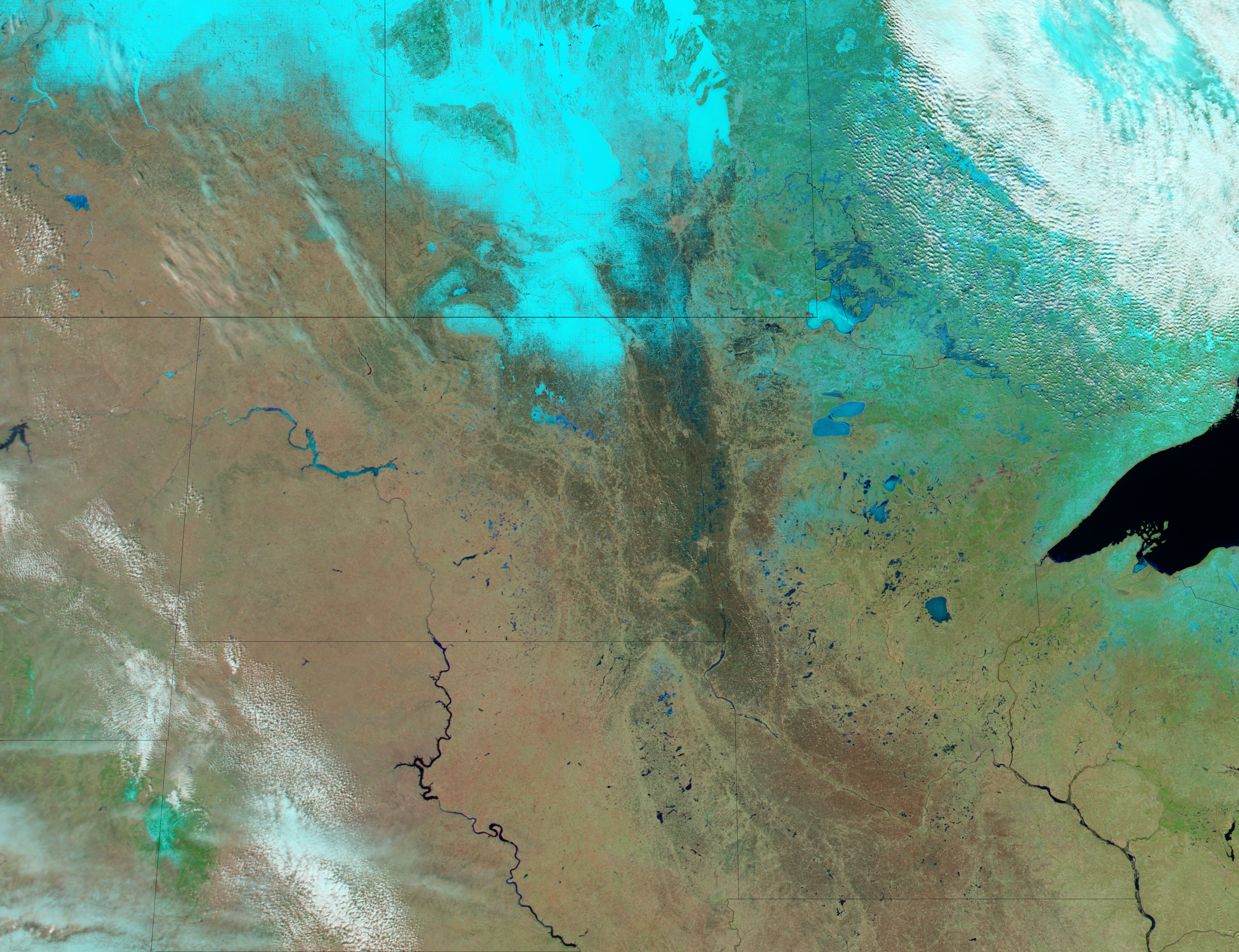
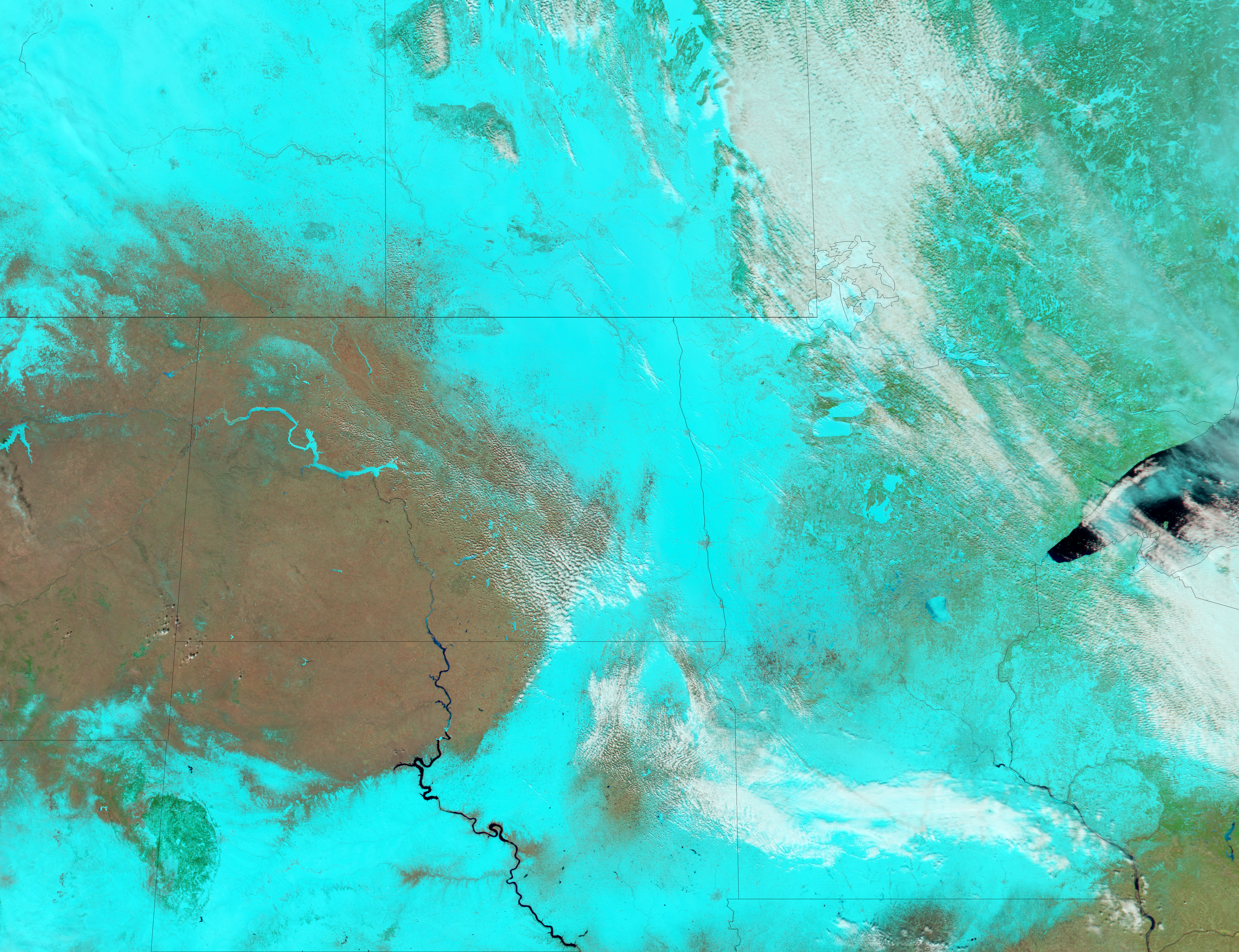
Spring rains and melting snow pushed the Red River over its banks in early April 2006. The river crested around Fargo on April 5, the National Weather Service reported, and was expected to gradually subside over the following week. Blue pools of water were spread across the regular grid of farm fields around Fargo, North Dakota, and Moorhead, Minnesota, when the Moderate Resolution Imaging Spectroradiometer (MODIS) on NASA’s Aqua satellite captured the top image on April 3. The lower image, captured on March 14, 2006, reveals that a thick blanket of snow covered the entire region three weeks before the floods began, hinting at the extent to which snowmelt contributed to the floods. The snow is pale blue in this false-color image.
References & Resources
NASA image created by Jesse Allen, Earth Observatory, using data obtained from the MODIS Rapid Response team.
None