


- September 7, 2006 (2.81 MB)
- August 21, 2006 (2.73 MB)
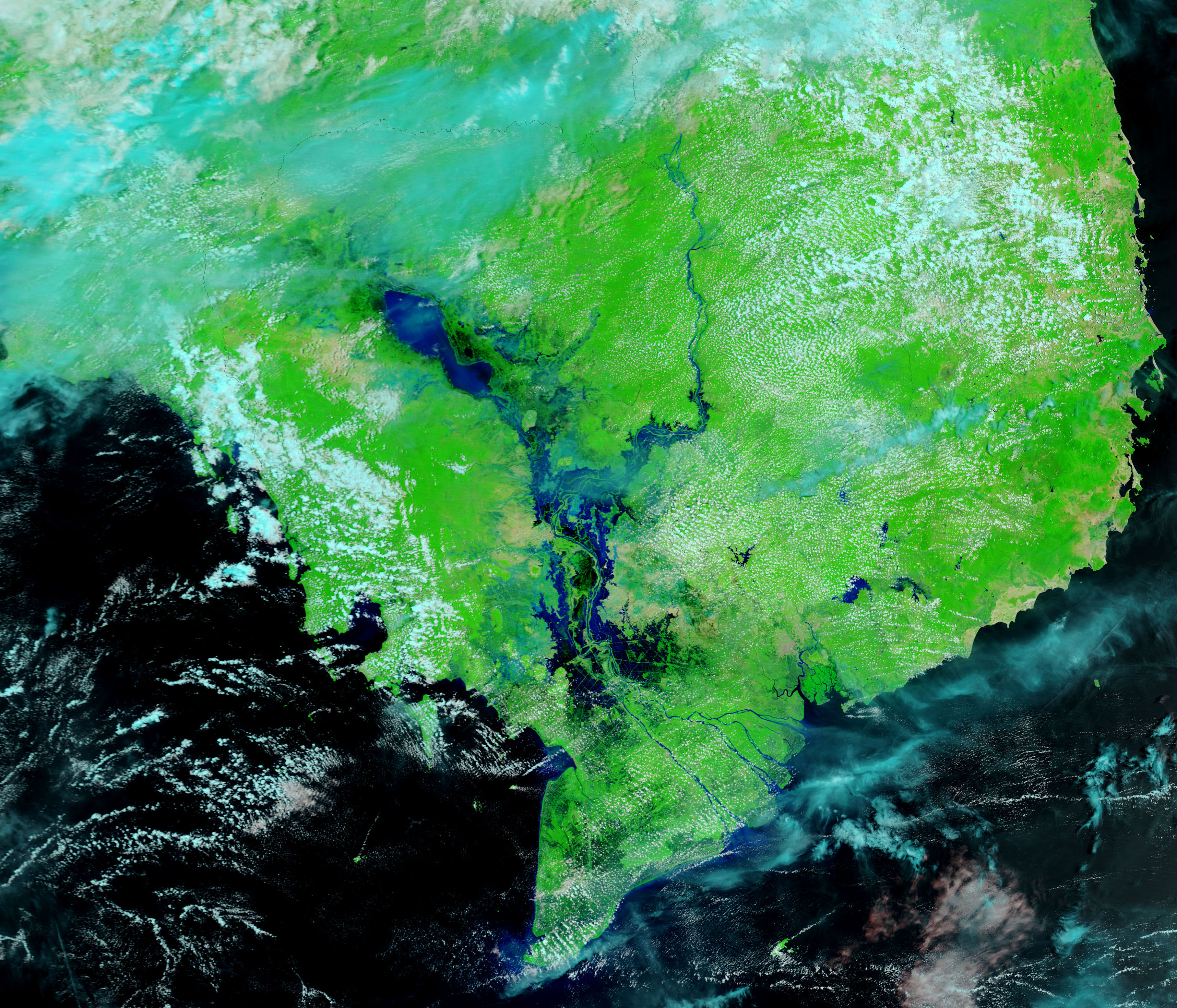
Water levels on the Mekong River in Cambodia continued to rise during the first week of September 2006. The seasonal flood began in mid-August when monsoon rains fell over the river basin. Already among the worst in recent memory (according to the Dartmouth Flood Observatory), the floods expanded between August 21, when the lower image was taken, and September 7, top. The river itself is wider, and several of the small channels that branch out from the river are swollen. Additional flooding can be seen around the Tonle Sap in the large images.
The Moderate Resolution Imaging Spectroradiometer (MODIS) on NASA’s Terra satellite acquired both of these images, which are displayed in false color to differentiate water from earth. In this color combination, water is dark blue or black, plant-covered land is green, and bare ground is tan. Clouds are pale blue and white. True-color versions of both images are available from the MODIS Rapid Response Team.
References & Resources
NASA images courtesy the MODIS Rapid Response Team at NASA GSFC.


