


















With a history of eruptions throughout the past century, Volcán Copahue showed new signs of life in late 2012 and early 2013. Copahue awoke on December 22, 2012, with a steady volcanic tremor and a few brief explosions.
SERNAGEOMIN, the Chilean National Service of Geology and Mining, reported that the eruption was likely caused by water vaporizing as it interacted with magma rising inside the volcano. (Called a phreatic eruption by volcanologists.) Since then, SERNAGEOMIN described intermittent steam and gas plumes, accompanied by continuing earthquakes. The earthquakes suggest that magma is fracturing rock as it rises from beneath the volcano.
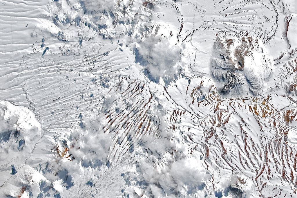
Volcán Copahue is a composite volcano located in the Andes, on the border of Chile and Argentina. This natural-color satellite image shows a blue-tinted gas plume streaming toward the east. The nearest settlement is Caviahue, an Argentinian ski resort. The image was acquired by the Advanced Land Imager (ALI) on Earth Observing-1 on January 5, 2013.
References & Resources
NASA Earth Observatory image by Jesse Allen and Robert Simmon, using EO-1 ALI data from the NASA EO-1 team. Caption by Robert Simmon, within input from Erik Klemetti, Denison University/ Eruptions Blog.