Suggested Searches

1 min read

Great Sandy Desert, Australia

Topics:
 

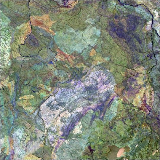
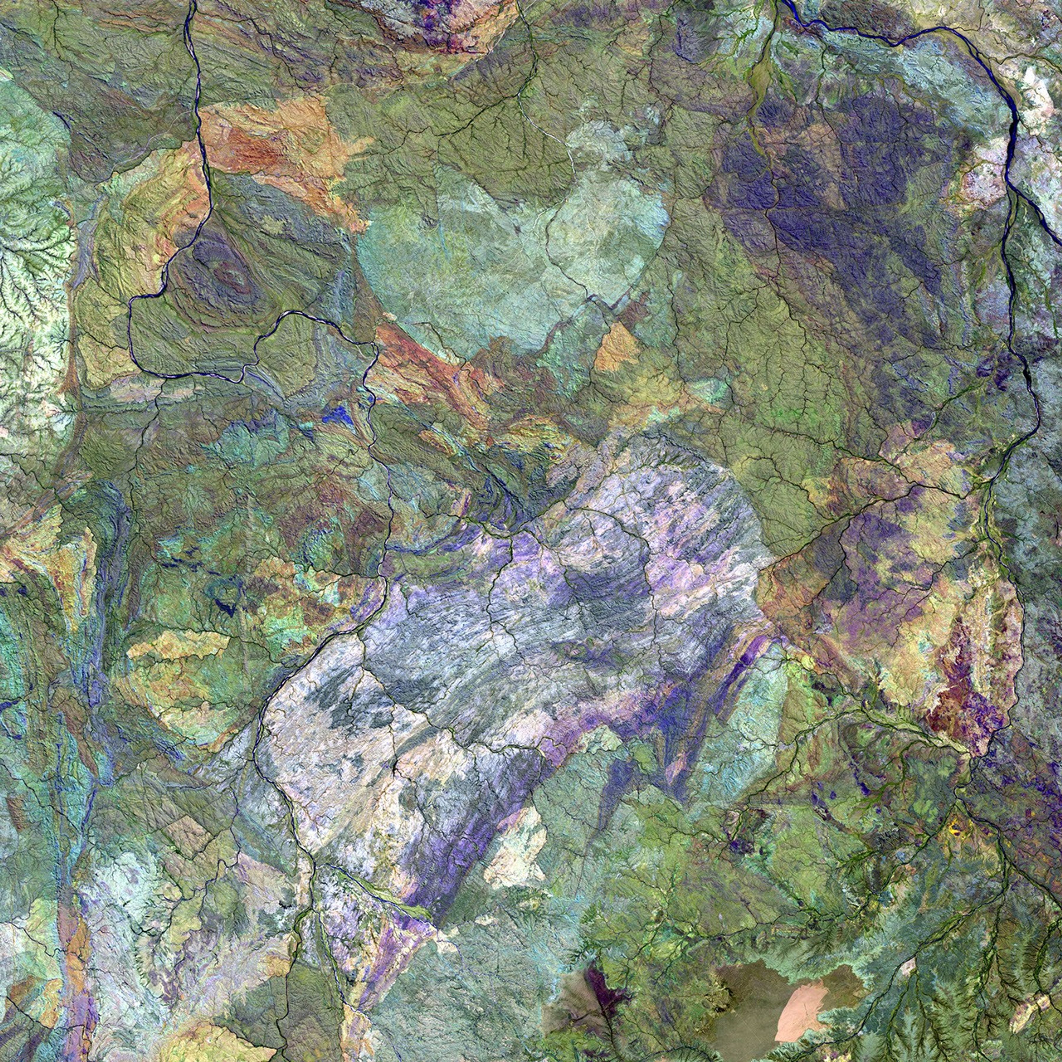
The western region of Australia’s Great Sandy Desert is in an area almost devoid of sand,but characterized by complex geology.

This image was acquired byLandsat 7’s Enhanced Thematic Mapper plus(ETM+) sensor on February 24, 2001. This is a false-color composite image made using shortwave-infrared, infrared, and red wavelengths.

References & Resources

Image provided by the USGS EROS Data Center Satellite Systems Branch This image is part of the ongoing Landsat Earth as Art series.
You may also be interested in:

Stay up-to-date with the latest content from NASA as we explore the universe and discover more about our home planet.

A Full Moon Checkup
3 min read

Once a month during the full Moon, Landsat 9 turns from Earth to image the lunar surface, helping keep the…

Article
Sensing the Poles’ Hidden Heat
3 min read

New animations from NASA's PREFIRE mission reveal two years of seasonal temperature swings at the Arctic and Antarctic.

Article
June 2026 Satellite Puzzler
2 min read

Your challenge is to tell us the location of the satellite image and why it is interesting.

Article