July 24, 2002
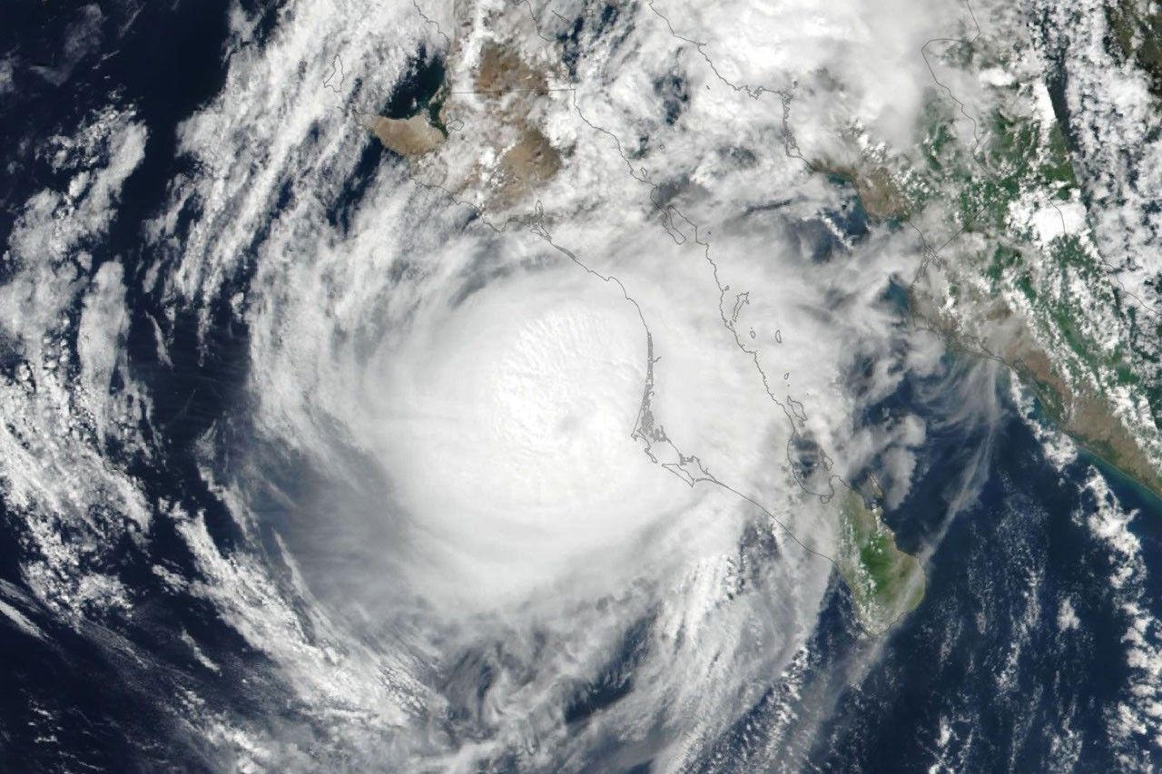
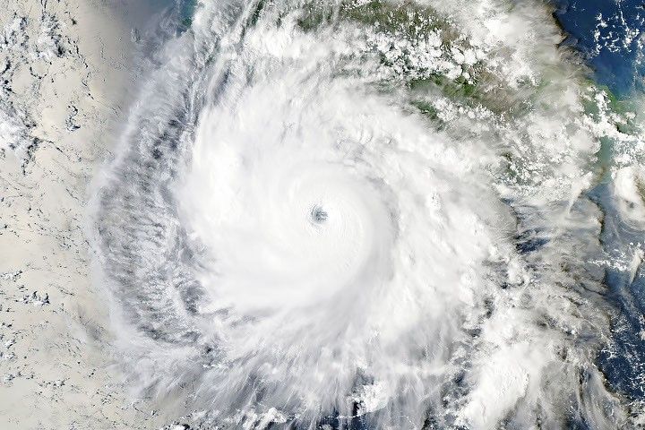
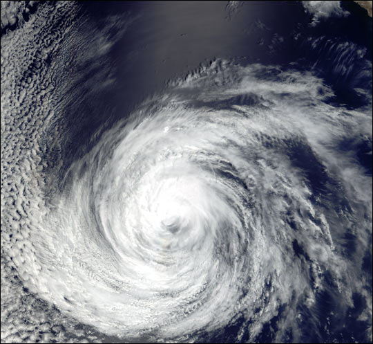
Hurricane Douglas can be seen over the eastern Pacific Ocean in this true-color image taken on July 24, 2002, by the Moderate Resolution Imaging Spectroradiometer (MODIS), flying aboard NASA’s Terra spacecraft.
The hurricane, which formed off the coast of central Mexico just a few days ago, moved up the west coast towards Baja California before heading almost due west into the Pacific Ocean. When this image was taken, the storm was a Category 1 hurricane. By 18:00 UTC on July 25, 2002, the storm had been downgraded to a tropical depression and it was packing sustained winds of only 56 kilometers (35 miles) per hour.
References & Resources
Image courtesy Jesse Allen, NASA Earth Observatory; data provided by MODIS Land Rapid Response Team at NASA GSFC